Presidente Venceslau — São José da Laje
Presidente Venceslau — Butantã
Presidente Venceslau — Gramados
Presidente Venceslau — Cametá
Presidente Venceslau — Viadutos
Presidente Venceslau — Pedra
Presidente Venceslau — Agudos do Sul
Presidente Venceslau — Schroeder
Presidente Venceslau — Wenceslau Braz
Presidente Venceslau — Areia Branca
Presidente Venceslau — Formosa
Presidente Venceslau — Monjolo
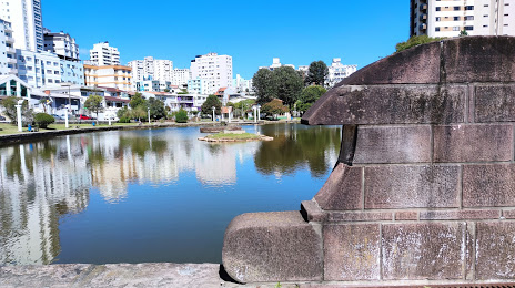
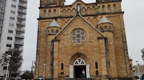
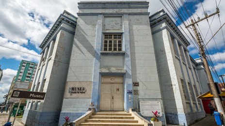
Presidente Venceslau — Centro
Presidente Venceslau — Pancas
Presidente Venceslau — Frecheirinha
Presidente Venceslau — Porto Alegre
Presidente Venceslau — Salgado Filho
Presidente Venceslau — Buerarema
Presidente Venceslau — Itacoatiara
Santo Anastácio
Presidente Bernardes
Álvares Machado
Presidente Prudente
Regente Feijó
Taciba
Porecatu
Jaguapitã
Rolândia
Arapongas
Apucarana
Marilândia do Sul
Ponta Grossa
Palmeira
Lapa
Campo do Tenente
Rio Negro
Mafra
Papanduva
Monte Castelo
Residência Fuck
Santa Cecília
Correia Pinto
Presidente Venceslau — São José da Laje
Presidente Venceslau — Butantã
Presidente Venceslau — Gramados
Presidente Venceslau — Cametá
Presidente Venceslau — Viadutos
Presidente Venceslau — Pedra
Presidente Venceslau — Agudos do Sul
Presidente Venceslau — Schroeder
Presidente Venceslau — Wenceslau Braz
Presidente Venceslau — Areia Branca
Presidente Venceslau — Formosa
Presidente Venceslau — Monjolo
Presidente Venceslau — Centro
Presidente Venceslau — Pancas
Presidente Venceslau — Frecheirinha
Presidente Venceslau — Porto Alegre
Presidente Venceslau — Salgado Filho
Presidente Venceslau — Buerarema
Presidente Venceslau — Itacoatiara
Santo Anastácio
Presidente Bernardes
Álvares Machado
Presidente Prudente
Regente Feijó
Taciba
Porecatu
Jaguapitã
Rolândia
Arapongas
Apucarana
Marilândia do Sul
Ponta Grossa
Palmeira
Lapa
Campo do Tenente
Rio Negro
Mafra
Papanduva
Monte Castelo
Residência Fuck
Santa Cecília
Correia Pinto
Presidente Venceslau — Lages distance, route on the map
Distance by car
Distance between Presidente Venceslau, São Paulo, Brazil and Lages, Santa Catarina, Brazil by car is — km, or miles. To travel this distance by car, you need minute, or h.
Route on the map, driving directions
Car route Presidente Venceslau — Lages was created automatically. The road on the map is shown as a blue line. By moving the markers, you can create a new route through the points you need.
Passing cities through which the car route passes: Piquerobi, Santo Anastácio, Presidente Bernardes, Álvares Machado, Presidente Prudente, Regente Feijó, Taciba, Porecatu, Jaguapitã, Rolândia, Arapongas, Apucarana, Marilândia do Sul, Ponta Grossa, Palmeira, Lapa, Campo do Tenente, Rio Negro, Mafra, Papanduva, Monte Castelo, Residência Fuck, Santa Cecília, Correia Pinto.
Distance by plane
If you decide to take a trip Presidente Venceslau Lages by plane, then you have to fly the distance — 678 km or 420 miles. It is marked on the map with a gray line (between two points in a straight line).
Flight time
Estimated flight time Presidente Venceslau Lages by plane at cruising speed 750 km / h will be — 54 min.
Direction of movement
Brazil, Presidente Venceslau — right-hand traffic. Brazil, Lages — right-hand traffic.
Difference in time
Presidente Venceslau and Lages are in the same time zone. Between them there is no time difference (UTC -3 America/Sao_Paulo).
Interesting Facts
Information on alternative ways to get to your destination.
The length of this distance is about 1.7% of the total length of the equator.
The percentage of the population is clearly shown in the graph:
Presidente Venceslau — 34,026 (less by 130,653), Lages — 164,679 residents.
The cost of travel
Calculate the cost of the trip yourself using the fuel consumption calculator, changing the data in the table.