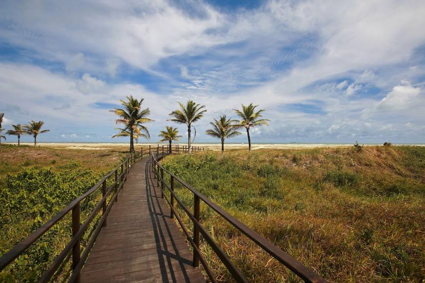
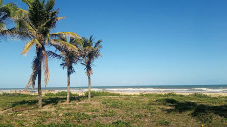
Aljubarrota — Santo Antônio do Grama
Aljubarrota — São Joaquim do Monte
Aljubarrota — Assis Brasil
Aljubarrota — Dona Francisca
Aljubarrota — Camboriú
Aljubarrota — Ribeirão do Pinhal
Aljubarrota — Cantá
Aljubarrota — Lagoão
Aljubarrota — Uchoa
Aljubarrota — Ubaitaba
Aljubarrota — Itaú
Aljubarrota — Flour
Aljubarrota — Siriri
Aljubarrota — Cerro Largo
Aljubarrota — Dias d'Ávila
Aljubarrota — Iacanga
Aljubarrota — Santa Maria de Itabira
Aljubarrota — Vitória
Aljubarrota — Residência Fuck
Tefé
Jutica
Coari
Anamã
Manacapuru
Iranduba
Manaus
Careiro
Humaitá
Porto Velho
Itapuã do Oeste
Ariquemes
Jaru
Ouro Preto do Oeste
Ji-Paraná
Presidente Médici
Cacoal
Pimenta Bueno
Vilhena
Zico
Comodoro
Nova Lacerda
Pontes e Lacerda
Cáceres
Cáceres
Várzea Grande
Marechal Rondon International Airport
Cuiaba
Jaciara
Rondonópolis
Alto Araguaia
Santa Rita do Araguaia
Mineiros
Jataí
Rio Verde
Guapó
Goiânia
Goiânia Airport
Goianápolis
Anápolis
Anápolis
Abadiânia
Alexânia
Taguatinga
35
Brasilia
Planaltina
Formosa
Vila Boa
Posse
Correntina
Santa Maria da Vitória
Bom Jesus da Lapa
Aljubarrota — Aracaju distance, route on the map
Distance by car
Distance between Aljubarrota, Amazonas, Brazil and Aracaju, Sergipe, Brazil by car is — km, or miles. To travel this distance by car, you need minute, or h.
Route on the map, driving directions
Car route Aljubarrota — Aracaju was created automatically. The road on the map is shown as a blue line. By moving the markers, you can create a new route through the points you need.
Passing cities through which the car route passes: Alvarães, Tefé, Jutica, Coari, Anamã, Manacapuru, Iranduba, Manaus, Careiro, Humaitá, Porto Velho, Itapuã do Oeste, Ariquemes, Jaru, Ouro Preto do Oeste, Ji-Paraná, Presidente Médici, Cacoal, Pimenta Bueno, Vilhena, Zico, Comodoro, Nova Lacerda, Pontes e Lacerda, Cáceres, Cáceres, Várzea Grande, Marechal Rondon International Airport, Cuiaba, Jaciara, Rondonópolis, Alto Araguaia, Santa Rita do Araguaia, Mineiros, Jataí, Rio Verde, Guapó, Goiânia, Goiânia Airport, Goianápolis, Anápolis, Anápolis, Abadiânia, Alexânia, Taguatinga, 35, Brasilia, Planaltina, Formosa, Vila Boa, Posse, Correntina, Santa Maria da Vitória, Bom Jesus da Lapa.
Distance by plane
If you decide to take a trip Aljubarrota Aracaju by plane, then you have to fly the distance — 3650 km or 2263 miles. It is marked on the map with a gray line (between two points in a straight line).
Flight time
Estimated flight time Aljubarrota Aracaju by plane at cruising speed 750 km / h will be — 4 h. and 52 min.
Direction of movement
Brazil, Aljubarrota — right-hand traffic. Brazil, Aracaju — right-hand traffic.
Difference in time
Aljubarrota and Aracaju are in different time zones. The time difference is 1 hour (UTC -4 America/Boa_Vista, UTC -3 America/Fortaleza).
Interesting Facts
Information on alternative ways to get to your destination.
The length of this distance is about 9.1% of the total length of the equator.
The cost of travel
Calculate the cost of the trip yourself using the fuel consumption calculator, changing the data in the table.