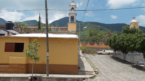
Ahualulco — Estación Luis
Ahualulco — Special Development Galleries
Ahualulco — Satevó Municipality
Ahualulco — Calderitas
Ahualulco — Mazatepec
Ahualulco — San Ignacio
Ahualulco — Pijijiapan
Ahualulco — Piedras Negras
Ahualulco — Santa Ana Ixtlahuatzingo
Ahualulco — Cacahuamilpa
Ahualulco — El Salto
Ahualulco — San Roque
Ahualulco — El Milagro
Ahualulco — El Cazadero
Ahualulco — Tambaca
Ahualulco — Tzimol
Ahualulco — Nazareno
Ahualulco — Almoloya de Juárez
Ahualulco — Campeche
Ahualulco — Etzatlán distance, route on the map
Distance by car
Distance between Ahualulco, San Luis Potosi, Mexico and Etzatlán, Jalisco, Mexico by car is — km, or miles. To travel this distance by car, you need minute, or h.
Route on the map, driving directions
Car route Ahualulco — Etzatlán was created automatically. The road on the map is shown as a blue line. By moving the markers, you can create a new route through the points you need.
Distance by plane
If you decide to take a trip Ahualulco Etzatlán by plane, then you have to fly the distance — 352 km or 218 miles. It is marked on the map with a gray line (between two points in a straight line).
Flight time
Estimated flight time Ahualulco Etzatlán by plane at cruising speed 750 km / h will be — 28 min.
Direction of movement
Mexico, Ahualulco — right-hand traffic. Mexico, Etzatlán — right-hand traffic.
Difference in time
Ahualulco and Etzatlán are in the same time zone. Between them there is no time difference (UTC -6 America/Mexico_City).
Interesting Facts
Information on alternative ways to get to your destination.
The length of this distance is about 0.9% of the total length of the equator.
The percentage of the population is clearly shown in the graph:
Ahualulco — 3,844 (less by 9,339), Etzatlán — 13,183 residents.
The cost of travel
Calculate the cost of the trip yourself using the fuel consumption calculator, changing the data in the table.