Stubno — IBEX-U.L. Sp. o.o. / Air services
Stubno — Malechówko
Stubno — Staworowo
Stubno — Chocianow
Stubno — Marcinowice
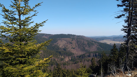
Stubno — White mountain
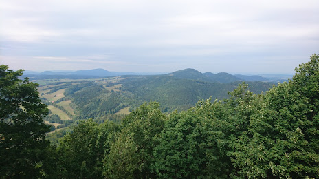
Stubno — Buk
Stubno — Wojkowice
Stubno — Korfantów
Stubno — Dąbrówka
Stubno — Grodzisk
Stubno — Młynary
Stubno — Zakopane
Stubno — Swaty
Stubno — Bobowo
Stubno — Żyraków
Stubno — Szydłów
Stubno — Chąśno
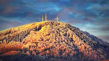
Stubno — Góra
Stubno — IBEX-U.L. Sp. o.o. / Air services
Stubno — Malechówko
Stubno — Staworowo
Stubno — Chocianow
Stubno — Marcinowice
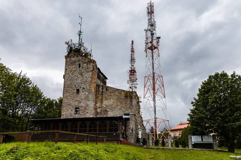
Stubno — White mountain
Stubno — Buk
Stubno — Wojkowice
Stubno — Korfantów
Stubno — Dąbrówka
Stubno — Grodzisk
Stubno — Młynary
Stubno — Zakopane
Stubno — Swaty
Stubno — Bobowo
Stubno — Żyraków
Stubno — Szydłów
Stubno — Chąśno
Stubno — Góra
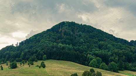
Stubno — Boguszów-Gorce distance, route on the map
Distance by car
Distance between Stubno, Podkarpackie Voivodeship, Poland and Boguszów-Gorce, Lower Silesian Voivodeship, Poland by car is — km, or miles. To travel this distance by car, you need minute, or h.
Route on the map, driving directions
Car route Stubno — Boguszów-Gorce was created automatically. The road on the map is shown as a blue line. By moving the markers, you can create a new route through the points you need.
Distance by plane
If you decide to take a trip Stubno Boguszów-Gorce by plane, then you have to fly the distance — 489 km or 303 miles. It is marked on the map with a gray line (between two points in a straight line).
Flight time
Estimated flight time Stubno Boguszów-Gorce by plane at cruising speed 750 km / h will be — 39 min.
Direction of movement
Poland, Stubno — right-hand traffic. Poland, Boguszów-Gorce — right-hand traffic.
Difference in time
Stubno and Boguszów-Gorce are in the same time zone. Between them there is no time difference (UTC +2 Europe/Warsaw).
Interesting Facts
Information on alternative ways to get to your destination.
The length of this distance is about 1.2% of the total length of the equator.
The percentage of the population is clearly shown in the graph:
Stubno — 1,400 (less by 15,326), Boguszów-Gorce — 16,726 residents.
The cost of travel
Calculate the cost of the trip yourself using the fuel consumption calculator, changing the data in the table.