Boa Esperança — Abadiânia
Boa Esperança — Acajutiba
Boa Esperança — Cruz
Boa Esperança — Itu
Boa Esperança — Nossa Senhora de Lourdes
Boa Esperança — Estrela do Sul
Boa Esperança — Itumbiara
Boa Esperança — Correntina
Boa Esperança — Arroio Grande
Boa Esperança — State of Piauí
Boa Esperança — Coronel Vivida
Boa Esperança — Iporá
Boa Esperança — Conceição de Macabu
Boa Esperança — Potirendaba
Boa Esperança — Agudos
Boa Esperança — Ibicoara
Boa Esperança — Nova Independência
Boa Esperança — Formosa do Oeste
Boa Esperança — Lago da Pedra
Passos
Capetinga
Patrocínio Paulista
Franca
São Joaquim da Barra
São Joaquim da Barra
Barretos
Olímpia
Sao Jose de Rio Preto
Mirassol
Neves Paulista
Monte Aprazível
Poloni
Floreal
Magda
General Salgado
Sud Mennucci
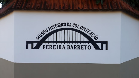
Boa Esperança — Pereira Barreto distance, route on the map
Distance by car
Distance between Boa Esperança, Minas Gerais, Brazil and Pereira Barreto, São Paulo, Brazil by car is — km, or miles. To travel this distance by car, you need minute, or h.
Route on the map, driving directions
Car route Boa Esperança — Pereira Barreto was created automatically. The road on the map is shown as a blue line. By moving the markers, you can create a new route through the points you need.
Passing cities through which the car route passes: Carmo do Rio Claro, Passos, Capetinga, Patrocínio Paulista, Franca, São Joaquim da Barra, São Joaquim da Barra, Barretos, Olímpia, Sao Jose de Rio Preto, Mirassol, Neves Paulista, Monte Aprazível, Poloni, Floreal, Magda, General Salgado, Sud Mennucci.
Distance by plane
If you decide to take a trip Boa Esperança Pereira Barreto by plane, then you have to fly the distance — 579 km or 359 miles. It is marked on the map with a gray line (between two points in a straight line).
Flight time
Estimated flight time Boa Esperança Pereira Barreto by plane at cruising speed 750 km / h will be — 46 min.
Direction of movement
Brazil, Boa Esperança — right-hand traffic. Brazil, Pereira Barreto — right-hand traffic.
Difference in time
Boa Esperança and Pereira Barreto are in the same time zone. Between them there is no time difference (UTC -3 America/Sao_Paulo).
Interesting Facts
Information on alternative ways to get to your destination.
The length of this distance is about 1.4% of the total length of the equator.
The percentage of the population is clearly shown in the graph:
Boa Esperança — 33,840, Pereira Barreto — 22,537 residents (less by 11,303).
The cost of travel
Calculate the cost of the trip yourself using the fuel consumption calculator, changing the data in the table.