Santa Marta de Tormes — Cascante del Río
Santa Marta de Tormes — Calahorra
Santa Marta de Tormes — Banyeres de Mariola
Santa Marta de Tormes — Miguelturra
Santa Marta de Tormes — Albesa
Santa Marta de Tormes — Combarro
Santa Marta de Tormes — Villardondiego
Santa Marta de Tormes — Cúllar
Santa Marta de Tormes — La Redondela
Santa Marta de Tormes — Faramontanos de Tábara
Santa Marta de Tormes — Vea
Santa Marta de Tormes — San Miguel del Arroyo
Santa Marta de Tormes — Villafranca Montes de Oca
Santa Marta de Tormes — Villaluenga
Santa Marta de Tormes — Llamas
Santa Marta de Tormes — Almonacid del Marquesado
Santa Marta de Tormes — Fuentelahiguera de Albatages
Santa Marta de Tormes — Toranzo
Santa Marta de Tormes — Montmaneu
Pelabravo
Calvarrasa de Abajo
Villagonzalo de Tormes
Huerta
Cordovilla
Peñaranda de Bracamonte
Cantaracillo
Flores de Ávila
Fontiveros
Vita
El Parral
Albornos
San Pedro del Arroyo
Gotarrendura
Martiherrero
Ávila
Berrocalejo de Aragona
Mediana de Voltoya
Maello
Villacastín
Navas de San Antonio
El Espinar
San Rafael
Los Molinos
Guadarrama
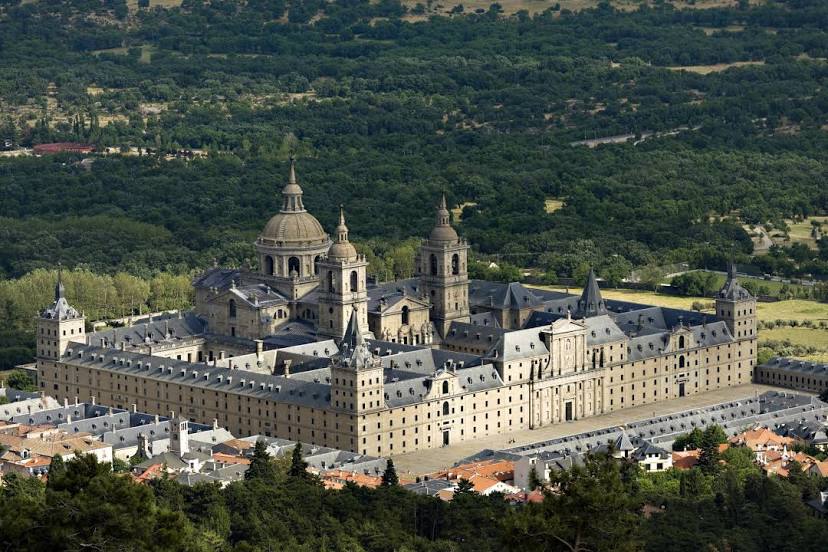
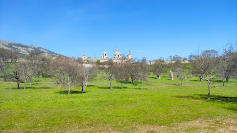
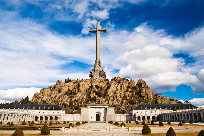
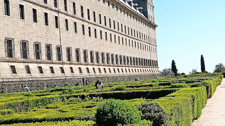
Santa Marta de Tormes — San Lorenzo de El Escorial distance, route on the map
Distance by car
Distance between Santa Marta de Tormes, Castile and León, Spain and San Lorenzo de El Escorial, Comunidad de Madrid, Spain by car is — km, or miles. To travel this distance by car, you need minute, or h.
Route on the map, driving directions
Car route Santa Marta de Tormes — San Lorenzo de El Escorial was created automatically. The road on the map is shown as a blue line. By moving the markers, you can create a new route through the points you need.
Passing cities through which the car route passes: Santa Marta de Tormes, Pelabravo, Calvarrasa de Abajo, Villagonzalo de Tormes, Huerta, Cordovilla, Peñaranda de Bracamonte, Cantaracillo, Flores de Ávila, Fontiveros, Vita, El Parral, Albornos, San Pedro del Arroyo, Gotarrendura, Martiherrero, Ávila, Berrocalejo de Aragona, Mediana de Voltoya, Maello, Villacastín, Navas de San Antonio, El Espinar, San Rafael, Los Molinos, Guadarrama.
Distance by plane
If you decide to take a trip Santa Marta de Tormes San Lorenzo de El Escorial by plane, then you have to fly the distance — 132 km or 82 miles. It is marked on the map with a gray line (between two points in a straight line).
Flight time
Estimated flight time Santa Marta de Tormes San Lorenzo de El Escorial by plane at cruising speed 750 km / h will be — 10 min.
Direction of movement
Spain, Santa Marta de Tormes — right-hand traffic. Spain, San Lorenzo de El Escorial — right-hand traffic.
Difference in time
Santa Marta de Tormes and San Lorenzo de El Escorial are in the same time zone. Between them there is no time difference (UTC +2 Europe/Madrid).
Interesting Facts
Information on alternative ways to get to your destination.
The length of this distance is about 0.3% of the total length of the equator.
The cost of travel
Calculate the cost of the trip yourself using the fuel consumption calculator, changing the data in the table.