Mâncio Lima — Goianinha
Mâncio Lima — Marechal Cândido Rondon
Mâncio Lima — Armação dos Búzios
Mâncio Lima — Butiá
Mâncio Lima — Carlos Chagas
Mâncio Lima — Martins Soares
Mâncio Lima — Mutum
Mâncio Lima — Itá
Mâncio Lima — Passo Fundo
Mâncio Lima — Ibiassucê
Mâncio Lima — União da Vitória
Mâncio Lima — Salgado Filho
Mâncio Lima — Araripina
Mâncio Lima — Indaiabira
Mâncio Lima — Ijuí
Mâncio Lima — Selbach
Mâncio Lima — Regente Feijó
Mâncio Lima — Lindóia
Mâncio Lima — Japeri
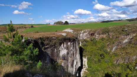
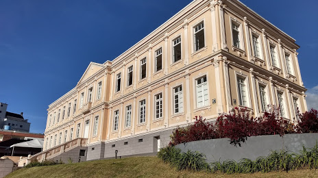
Mâncio Lima — Lages distance, route on the map
Distance by car
Distance between Mâncio Lima, State of Acre, Brazil and Lages, Santa Catarina, Brazil by car is — km, or miles. To travel this distance by car, you need minute, or h.
Route on the map, driving directions
Car route Mâncio Lima — Lages was created automatically. The road on the map is shown as a blue line. By moving the markers, you can create a new route through the points you need.
Distance by plane
If you decide to take a trip Mâncio Lima Lages by plane, then you have to fly the distance — 3310 km or 2052 miles. It is marked on the map with a gray line (between two points in a straight line).
Flight time
Estimated flight time Mâncio Lima Lages by plane at cruising speed 750 km / h will be — 4 h. and 24 min.
Direction of movement
Brazil, Mâncio Lima — right-hand traffic. Brazil, Lages — right-hand traffic.
Difference in time
Mâncio Lima and Lages are in different time zones. The time difference is 2 hours (UTC -5 America/Rio_Branco, UTC -3 America/Sao_Paulo).
Interesting Facts
Information on alternative ways to get to your destination.
The length of this distance is about 8.3% of the total length of the equator.
The percentage of the population is clearly shown in the graph:
Mâncio Lima — 7,086 (less by 157,593), Lages — 164,679 residents.
The cost of travel
Calculate the cost of the trip yourself using the fuel consumption calculator, changing the data in the table.