Ji-Paraná — São Sebastião do Maranhão
Ji-Paraná — Cunha Porã
Ji-Paraná — Cruz Machado
Ji-Paraná — Osvaldo Cruz
Ji-Paraná — Manga
Ji-Paraná — Getulina
Ji-Paraná — São João Evangelista
Ji-Paraná — Quinta do Sol
Ji-Paraná — Itaituba
Ji-Paraná — Breves
Ji-Paraná — Saquarema
Ji-Paraná — Potirendaba
Ji-Paraná — Capanema
Ji-Paraná — Cocos
Ji-Paraná — Serra Azul
Ji-Paraná — Ferro Velho
Ji-Paraná — Barra Mansa
Ji-Paraná — Tapejara
Ji-Paraná — Pescador
Cacoal
Pimenta Bueno
Vilhena
Zico
Comodoro
Nova Lacerda
Pontes e Lacerda
Cáceres
Cáceres
Várzea Grande
Marechal Rondon International Airport
Cuiaba
Jaciara
Rondonópolis
Alto Araguaia
Santa Rita do Araguaia
Mineiros
Jataí
Rio Verde
Itumbiara
Araporã
Centralina
Monte Alegre de Minas
Uberlândia
Nova Ponte
Araxá
Campos Altos
Luz
Moema
Nova Serrana
Igaratinga
Aeroporto De Para De Minas
Florestal
Juatuba
Betim
Contagem
Barreiro
Congonhas
Cristiano Otoni
Barbacena
Galego
Paiva
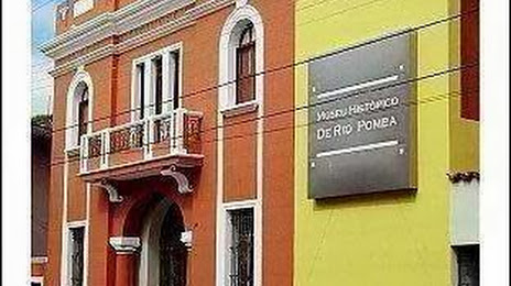
Ji-Paraná — Rio Pomba distance, route on the map
Distance by car
Distance between Ji-Paraná, Rondônia, Brazil and Rio Pomba, Minas Gerais, Brazil by car is — km, or miles. To travel this distance by car, you need minute, or h.
Route on the map, driving directions
Car route Ji-Paraná — Rio Pomba was created automatically. The road on the map is shown as a blue line. By moving the markers, you can create a new route through the points you need.
Passing cities through which the car route passes: Presidente Médici, Cacoal, Pimenta Bueno, Vilhena, Zico, Comodoro, Nova Lacerda, Pontes e Lacerda, Cáceres, Cáceres, Várzea Grande, Marechal Rondon International Airport, Cuiaba, Jaciara, Rondonópolis, Alto Araguaia, Santa Rita do Araguaia, Mineiros, Jataí, Rio Verde, Itumbiara, Araporã, Centralina, Monte Alegre de Minas, Uberlândia, Nova Ponte, Araxá, Campos Altos, Luz, Moema, Nova Serrana, Igaratinga, Aeroporto De Para De Minas, Florestal, Juatuba, Betim, Contagem, Barreiro, Congonhas, Cristiano Otoni, Barbacena, Galego, Paiva.
Distance by plane
If you decide to take a trip Ji-Paraná Rio Pomba by plane, then you have to fly the distance — 2310 km or 1432 miles. It is marked on the map with a gray line (between two points in a straight line).
Flight time
Estimated flight time Ji-Paraná Rio Pomba by plane at cruising speed 750 km / h will be — 3 h. and 4 min.
Direction of movement
Brazil, Ji-Paraná — right-hand traffic. Brazil, Rio Pomba — right-hand traffic.
Difference in time
Ji-Paraná and Rio Pomba are in different time zones. The time difference is 1 hour (UTC -4 America/Boa_Vista, UTC -3 America/Sao_Paulo).
Interesting Facts
Information on alternative ways to get to your destination.
The length of this distance is about 5.8% of the total length of the equator.
The cost of travel
Calculate the cost of the trip yourself using the fuel consumption calculator, changing the data in the table.