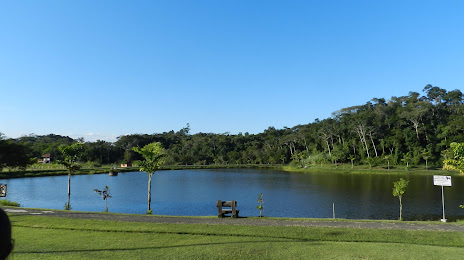
Cacoal — Maracaju
Cacoal — São José
Cacoal — Palmira
Cacoal — Congonhal
Cacoal — Grão Mogol
Cacoal — Sonora
Cacoal — Joanópolis
Cacoal — Borba
Cacoal — General Carneiro
Cacoal — Canaã dos Carajás
Cacoal — Muqui
Cacoal — Inema
Cacoal — Feira Nova
Cacoal — Paracatu
Cacoal — Santa Maria da Boa Vista
Cacoal — Venâncio Aires
Cacoal — Agudo
Cacoal — Colinas
Cacoal — Mendes
Vilhena
Zico
Comodoro
Sapezal
Diamantino
Nobres
Rosário Oeste
Cuiaba
Jaciara
Rondonópolis
Coxim
Coxim
Rio Verde de Mato Grosso
Campo Grande
Nova Alvorada do Sul
Teodoro Sampaio
Centenário do Sul
Jaguapitã
Rolândia
Arapongas
Apucarana
Marilândia do Sul
Ponta Grossa
Campo Largo
Campo Magro
Fazenda Rio Grande
Mandirituba
Agudos do Sul
São Bento do Sul
Jaraguá do Sul
Pomerode
Rio dos Cedros
Timbó
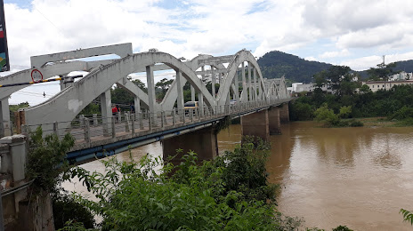
Cacoal — Indaial distance, route on the map
Distance by car
Distance between Cacoal, State of Rondônia, Brazil and Indaial, Santa Catarina, Brazil by car is — km, or miles. To travel this distance by car, you need minute, or h.
Route on the map, driving directions
Car route Cacoal — Indaial was created automatically. The road on the map is shown as a blue line. By moving the markers, you can create a new route through the points you need.
Passing cities through which the car route passes: Pimenta Bueno, Vilhena, Zico, Comodoro, Sapezal, Diamantino, Nobres, Rosário Oeste, Cuiaba, Jaciara, Rondonópolis, Coxim, Coxim, Rio Verde de Mato Grosso, Campo Grande, Nova Alvorada do Sul, Teodoro Sampaio, Centenário do Sul, Jaguapitã, Rolândia, Arapongas, Apucarana, Marilândia do Sul, Ponta Grossa, Campo Largo, Campo Magro, Fazenda Rio Grande, Mandirituba, Agudos do Sul, São Bento do Sul, Jaraguá do Sul, Pomerode, Rio dos Cedros, Timbó.
Distance by plane
If you decide to take a trip Cacoal Indaial by plane, then you have to fly the distance — 2143 km or 1329 miles. It is marked on the map with a gray line (between two points in a straight line).
Flight time
Estimated flight time Cacoal Indaial by plane at cruising speed 750 km / h will be — 2 h. and 51 min.
Direction of movement
Brazil, Cacoal — right-hand traffic. Brazil, Indaial — right-hand traffic.
Difference in time
Cacoal and Indaial are in different time zones. The time difference is 1 hour (UTC -4 America/Boa_Vista, UTC -3 America/Sao_Paulo).
Interesting Facts
Information on alternative ways to get to your destination.
The length of this distance is about 5.3% of the total length of the equator.
The percentage of the population is clearly shown in the graph:
Cacoal — 55,560, Indaial — 44,360 residents (less by 11,200).
The cost of travel
Calculate the cost of the trip yourself using the fuel consumption calculator, changing the data in the table.