Cacoal — Muritiba
Cacoal — Ibirajuba
Cacoal — Arara
Cacoal — Itapevi
Cacoal — Barra do Bugres
Cacoal — Boa Esperança do Sul
Cacoal — Piraquara
Cacoal — Alagoa Grande
Cacoal — Ildefonso
Cacoal — Maracanaú
Cacoal — Piquerobi
Cacoal — Xangri-lá
Cacoal — Governador Celso Ramos
Cacoal — Inhapi
Cacoal — Bom Repouso
Cacoal — Elísio Medrado
Cacoal — Engenheiro Paulo de Frontin
Cacoal — Itapaci
Cacoal — Congonhal
Vilhena
Zico
Comodoro
Sapezal
Diamantino
Nobres
Rosário Oeste
Cuiaba
Jaciara
Rondonópolis
Coxim
Coxim
Rio Verde de Mato Grosso
Campo Grande
Nova Alvorada do Sul
Teodoro Sampaio
Centenário do Sul
Jaguapitã
Rolândia
Arapongas
Apucarana
Marilândia do Sul
Ponta Grossa
Campo Largo
Campo Magro
São José dos Pinhais
Marcelino
Garuva
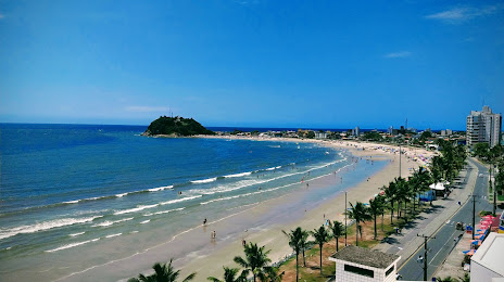
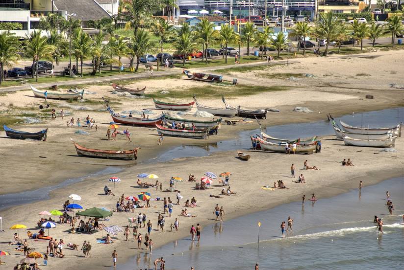
Cacoal — Guaratuba distance, route on the map
Distance by car
Distance between Cacoal, State of Rondônia, Brazil and Guaratuba, Paraná, Brazil by car is — km, or miles. To travel this distance by car, you need minute, or h.
Route on the map, driving directions
Car route Cacoal — Guaratuba was created automatically. The road on the map is shown as a blue line. By moving the markers, you can create a new route through the points you need.
Passing cities through which the car route passes: Pimenta Bueno, Vilhena, Zico, Comodoro, Sapezal, Diamantino, Nobres, Rosário Oeste, Cuiaba, Jaciara, Rondonópolis, Coxim, Coxim, Rio Verde de Mato Grosso, Campo Grande, Nova Alvorada do Sul, Teodoro Sampaio, Centenário do Sul, Jaguapitã, Rolândia, Arapongas, Apucarana, Marilândia do Sul, Ponta Grossa, Campo Largo, Campo Magro, São José dos Pinhais, Marcelino, Garuva.
Distance by plane
If you decide to take a trip Cacoal Guaratuba by plane, then you have to fly the distance — 2100 km or 1302 miles. It is marked on the map with a gray line (between two points in a straight line).
Flight time
Estimated flight time Cacoal Guaratuba by plane at cruising speed 750 km / h will be — 2 h. and 48 min.
Direction of movement
Brazil, Cacoal — right-hand traffic. Brazil, Guaratuba — right-hand traffic.
Difference in time
Cacoal and Guaratuba are in different time zones. The time difference is 1 hour (UTC -4 America/Boa_Vista, UTC -3 America/Sao_Paulo).
Interesting Facts
Information on alternative ways to get to your destination.
The length of this distance is about 5.2% of the total length of the equator.
The percentage of the population is clearly shown in the graph:
Cacoal — 55,560, Guaratuba — 18,906 residents (less by 36,654).
The cost of travel
Calculate the cost of the trip yourself using the fuel consumption calculator, changing the data in the table.