El Capomal — Boquilla
El Capomal — Colonia Independencia
El Capomal — Kimbilá
El Capomal — Tapachula
El Capomal — San Miguel Xoxtla
El Capomal — La Mixtequita
El Capomal — Juan Díaz Covarrubias
El Capomal — Arúmbaro
El Capomal — Villa Unión
El Capomal — Rincón de Guayabitos
El Capomal — Tuitán
El Capomal — Galeana Municipality
El Capomal — Querétaro International Airport
El Capomal — Pozo de Ibarra
El Capomal — Acuitzio
El Capomal — San Bartolo Coyotepec
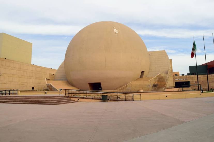
El Capomal — Morelia
El Capomal — Villa Pesqueira
El Capomal — Xicotepec
El Capomal — Boquilla
El Capomal — Colonia Independencia
El Capomal — Kimbilá
El Capomal — Tapachula
El Capomal — San Miguel Xoxtla
El Capomal — La Mixtequita
El Capomal — Juan Díaz Covarrubias
El Capomal — Arúmbaro
El Capomal — Villa Unión
El Capomal — Rincón de Guayabitos
El Capomal — Tuitán
El Capomal — Galeana Municipality
El Capomal — Querétaro International Airport
El Capomal — Pozo de Ibarra
El Capomal — Acuitzio
El Capomal — San Bartolo Coyotepec
El Capomal — Morelia
El Capomal — Villa Pesqueira
El Capomal — Xicotepec
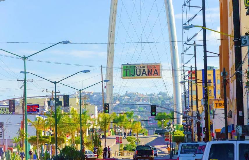
El Capomal — Tijuana distance, route on the map
Distance by car
Distance between El Capomal, Nayarit, Mexico and Tijuana, Baja California, Mexico by car is — km, or miles. To travel this distance by car, you need minute, or h.
Route on the map, driving directions
Car route El Capomal — Tijuana was created automatically. The road on the map is shown as a blue line. By moving the markers, you can create a new route through the points you need.
Distance by plane
If you decide to take a trip El Capomal Tijuana by plane, then you have to fly the distance — 1671 km or 1036 miles. It is marked on the map with a gray line (between two points in a straight line).
Flight time
Estimated flight time El Capomal Tijuana by plane at cruising speed 750 km / h will be — 2 h. and 13 min.
Direction of movement
Mexico, El Capomal — right-hand traffic. Mexico, Tijuana — right-hand traffic.
Difference in time
El Capomal and Tijuana are in the same time zone. Between them there is no time difference (UTC -7 America/Mazatlan).
Interesting Facts
Information on alternative ways to get to your destination.
The length of this distance is about 4.2% of the total length of the equator.
The percentage of the population is clearly shown in the graph:
El Capomal — 1,463 (less by 1,375,031), Tijuana — 1,376,494 residents.
The cost of travel
Calculate the cost of the trip yourself using the fuel consumption calculator, changing the data in the table.