Taiúva — Esteio
Taiúva — Nazaré da Mata
Taiúva — São José do Norte
Taiúva — Flexeiras
Taiúva — Pontal do Paraná
Taiúva — Seropédica
Taiúva — Ribeirão das Neves
Taiúva — Massaranduba
Taiúva — Paranhos
Taiúva — Sapucaia
Taiúva — Mairinque
Taiúva — Rubiataba
Taiúva — Medianeira
Taiúva — Mirante do Paranapanema
Taiúva — Cambuci
Taiúva — Ubá
Taiúva — Bom Jesus
Taiúva — Carbonita
Taiúva — Planalto de Carapina
Dobrada
Matão
Ibaté
São Carlos
Itirapina
São Paulo
Rio Claro
Santa Gertrudes
Iracemápolis
Piracicaba
Saltinho
Tietê
Tietê
Cerquilho
Alambari
Itapetininga
Itapetininga
Apiaí
Bocaiúva do Sul
Colombo
Curitiba
Curitiba Airport
Curitiba
Curitiba
Fazenda Rio Grande
Mandirituba
Quitandinha
Campo do Tenente
Rio Negro
Mafra
Papanduva
Monte Castelo
Residência Fuck
Santa Cecília
Correia Pinto
Lages
Lages
Capão Alto
Vacaria
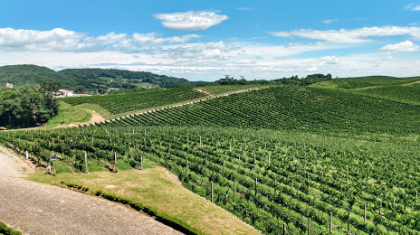
Antônio Prado
Taiúva — Esteio
Taiúva — Nazaré da Mata
Taiúva — São José do Norte
Taiúva — Flexeiras
Taiúva — Pontal do Paraná
Taiúva — Seropédica
Taiúva — Ribeirão das Neves
Taiúva — Massaranduba
Taiúva — Paranhos
Taiúva — Sapucaia
Taiúva — Mairinque
Taiúva — Rubiataba
Taiúva — Medianeira
Taiúva — Mirante do Paranapanema
Taiúva — Cambuci
Taiúva — Ubá
Taiúva — Bom Jesus
Taiúva — Carbonita
Taiúva — Planalto de Carapina
Dobrada
Matão
Ibaté
São Carlos
Itirapina
São Paulo
Rio Claro
Santa Gertrudes
Iracemápolis
Piracicaba
Saltinho
Tietê
Tietê
Cerquilho
Alambari
Itapetininga
Itapetininga
Apiaí
Bocaiúva do Sul
Colombo
Curitiba
Curitiba Airport
Curitiba
Curitiba
Fazenda Rio Grande
Mandirituba
Quitandinha
Campo do Tenente
Rio Negro
Mafra
Papanduva
Monte Castelo
Residência Fuck
Santa Cecília
Correia Pinto
Lages
Lages
Capão Alto
Vacaria
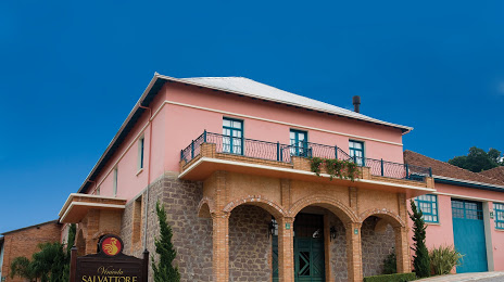
Antônio Prado
Taiúva — Flores da Cunha distance, route on the map
Distance by car
Distance between Taiúva, State of São Paulo, Brazil and Flores da Cunha, Rio Grande do Sul, Brazil by car is — km, or miles. To travel this distance by car, you need minute, or h.
Route on the map, driving directions
Car route Taiúva — Flores da Cunha was created automatically. The road on the map is shown as a blue line. By moving the markers, you can create a new route through the points you need.
Passing cities through which the car route passes: Santa Ernestina, Dobrada, Matão, Ibaté, São Carlos, Itirapina, São Paulo, Rio Claro, Santa Gertrudes, Iracemápolis, Piracicaba, Saltinho, Tietê, Tietê, Cerquilho, Alambari, Itapetininga, Itapetininga, Apiaí, Bocaiúva do Sul, Colombo, Curitiba, Curitiba Airport, Curitiba, Curitiba, Fazenda Rio Grande, Mandirituba, Quitandinha, Campo do Tenente, Rio Negro, Mafra, Papanduva, Monte Castelo, Residência Fuck, Santa Cecília, Correia Pinto, Lages, Lages, Capão Alto, Vacaria, Antônio Prado.
Distance by plane
If you decide to take a trip Taiúva Flores da Cunha by plane, then you have to fly the distance — 920 km or 570 miles. It is marked on the map with a gray line (between two points in a straight line).
Flight time
Estimated flight time Taiúva Flores da Cunha by plane at cruising speed 750 km / h will be — 1 h. and 13 min.
Direction of movement
Brazil, Taiúva — right-hand traffic. Brazil, Flores da Cunha — right-hand traffic.
Difference in time
Taiúva and Flores da Cunha are in the same time zone. Between them there is no time difference (UTC -3 America/Sao_Paulo).
Interesting Facts
Information on alternative ways to get to your destination.
The length of this distance is about 2.3% of the total length of the equator.
The cost of travel
Calculate the cost of the trip yourself using the fuel consumption calculator, changing the data in the table.