Eldorado
Tapes
Ceres
Boituva
Rio Negrinho
Tefé
Piraquara
Gurupi
Rio Verde
Tianguá
Ibiraçu
Sapucaia
Barreiras
Pinheiro
Ribeirão das Neves
Coronel Fabriciano
Parnamirim
Caxias
Balsas
Eldorado
Tapes
Ceres
Boituva
Rio Negrinho
Tefé
Piraquara
Gurupi
Rio Verde
Tianguá
Ibiraçu
Sapucaia
Barreiras
Pinheiro
Ribeirão das Neves
Coronel Fabriciano
Parnamirim
Caxias
Balsas
Ananindeua on the map, Brazil
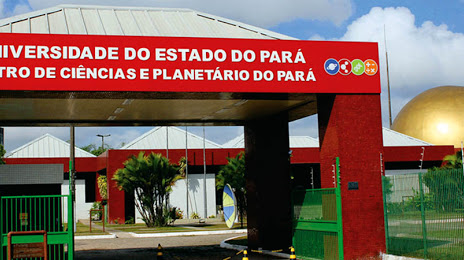
Where is located Ananindeua
Exact location — Ananindeua, Ananindeua, Pará, Brazil, marked on the map with a red marker.
Coordinates
Ananindeua, Brazil coordinates in decimal format: latitude — -1.3642722, longitude — -48.374721. When converted to degrees, minutes, seconds Ananindeua has the following coordinates: -1°21′51.38 north latitude and -48°22′29 east longitude.
Population
Ananindeua, Ananindeua, Pará, Brazil, according to our data the population is — 433,956 residents, which is about 0.2% of the total population of the country (Brazil).
Comparison of the population on the graph:
Exact time
Time zone for this location Ananindeua — UTC -3 America/Belem. Exact time — sunday, 4 april 2024 year, 07 h. 41 minute.
Sunrise and sunset
Ananindeua, sunrise and sunset data for a date — sunday 28.04.2024.
| Sunrise | Sunset | Day (duration) |
|---|---|---|
| 06:11 -0 minutes | 18:10 -0 minutes | 12 h. 0 minutes. -0 minutes |
You can control the scale of the map using the auxiliary tools to find out exactly where it is located Ananindeua. When you change the scale of the map, the width of the ruler also changes (in kilometers and miles).
Nearby cities
The largest cities that are located nearby:
- Belém — 16 km
- Castanhal — 51 km
- Macapá — 336 km
- Marabá — 452 km
- Imperatriz — 470 km
- São Luís — 470 km
- Araguaína — 645 km
- Caxias — 674 km
- Santarém — 709 km
- Timon — 737 km
- Teresina — 739 km
- Parnaíba — 749 km
- Palmas — 982 km
- Paramaribo
 (Suriname) — 1096 km
 - Caucaia — 1103 km
- Maracanaú — 1110 km
- Fortaleza — 1118 km
- Juazeiro do Norte — 1187 km
- Petrolina — 1235 km
Distance to neighboring capitals:
- Paramaribo (Suriname) — 1104 km
- Georgetown
 (Guyana) — 1416 km
 - Caracas
 (Venezuela) — 2442 km
 - Nuestra Señora de La Paz
 (Bolivia) — 2743 km
 - Asuncion
 (Paraguay) — 2836 km
 - Asuncion (Paraguay) — 2840 km
- Bogota
 (Colombia) — 2932 km
 - Quito
 (Ecuador) — 3349 km
 - Montevideo
 (Uruguay) — 3817 km
 - Buenos Aires
 (Argentina) — 3840 km
 - Santiago
 (Chile) — 4257 km