Rio Negrinho
Tefé
Piraquara
Gurupi
Rio Verde
Cocal
Matão
Guaratinguetá
Paragominas
Embu das Artes
Cabedelo
Itinga
Porto Seguro
Tianguá
Ibiraçu
Sapucaia
Barreiras
Pinheiro
Ribeirão das Neves
Rio Negrinho
Tefé
Piraquara
Gurupi
Rio Verde
Cocal
Matão
Guaratinguetá
Paragominas
Embu das Artes
Cabedelo
Itinga
Porto Seguro
Tianguá
Ibiraçu
Sapucaia
Barreiras
Pinheiro
Ribeirão das Neves
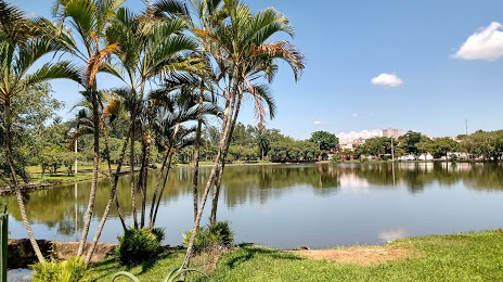
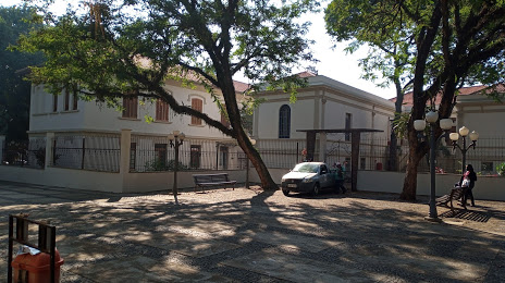
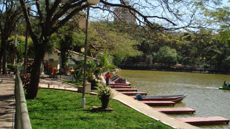
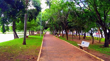
Araras on the map, Brazil
Where is located Araras
Exact location — Araras, Araras, São Paulo, Brazil, marked on the map with a red marker.
Coordinates
Araras, Brazil coordinates in decimal format: latitude — -22.3604911, longitude — -47.3798391. When converted to degrees, minutes, seconds Araras has the following coordinates: -22°21′37.77 north latitude and -47°22′47.42 east longitude.
Population
Araras, Araras, São Paulo, Brazil, according to our data the population is — 107,465 residents, which is about 0.1% of the total population of the country (Brazil).
Comparison of the population on the graph:
Exact time
Time zone for this location Araras — UTC -3 America/Sao_Paulo. Exact time — saturday, 4 april 2024 year, 09 h. 16 minutes.
Sunrise and sunset
Araras, sunrise and sunset data for a date — saturday 27.04.2024.
| Sunrise | Sunset | Day (duration) |
|---|---|---|
| 06:29 -0 minutes | 17:44 -1 minute | 11 h. 18 minutes. -1 minute |
You can control the scale of the map using the auxiliary tools to find out exactly where it is located Araras. When you change the scale of the map, the width of the ruler also changes (in kilometers and miles).
Nearby cities
The largest cities that are located nearby:
- Rio Claro — 20 km
- Americana — 42 km
- Santa Bárbara D'Oeste — 44 km
- Piracicaba — 50 km
- Sumaré — 52 km
- Hortolândia — 57 km
- São Carlos — 65 km
- Campinas — 69 km
- Indaiatuba — 82 km
- Itu — 99 km
- Jundiaí — 104 km
- Araraquara — 104 km
- Poços de Caldas — 105 km
- Várzea Paulista — 110 km
- Atibaia — 118 km
- Francisco Morato — 120 km
- Botucatu — 123 km
- Franco da Rocha — 125 km
- Sorocaba — 126 km
Distance to neighboring capitals:
- Asuncion
 (Paraguay) — 1086 km
 - Asuncion (Paraguay) — 1093 km
- Montevideo
 (Uruguay) — 1636 km
 - Buenos Aires
 (Argentina) — 1733 km
 - Nuestra Señora de La Paz
 (Bolivia) — 2272 km
 - Santiago
 (Chile) — 2589 km
 - Paramaribo
 (Suriname) — 3252 km
 - Georgetown
 (Guyana) — 3450 km
 - Quito
 (Ecuador) — 4173 km
 - Bogota
 (Colombia) — 4174 km
 - Caracas
 (Venezuela) — 4233 km