São Francisco
Prata
Araras
Cabreúva
Cordeirópolis
Luís Antônio
Teutônia
Bom Princípio
São Leopoldo
Maracanaú
Rio Pomba
São Cristóvão
Bilac
Apiaí
Itupeva
Bariri
Barra Mansa
Mirandópolis
Tremembé
São Francisco
Prata
Araras
Cabreúva
Cordeirópolis
Luís Antônio
Teutônia
Bom Princípio
São Leopoldo
Maracanaú
Rio Pomba
São Cristóvão
Bilac
Apiaí
Itupeva
Bariri
Barra Mansa
Mirandópolis
Tremembé
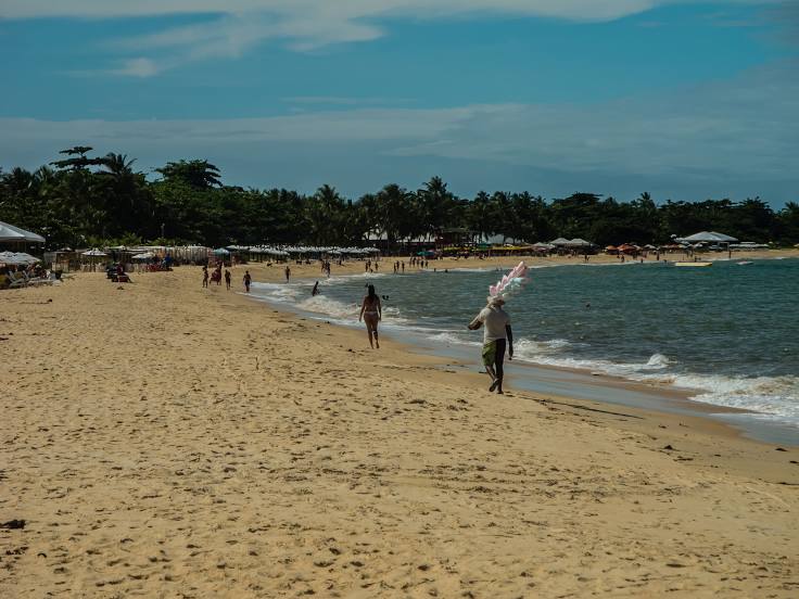
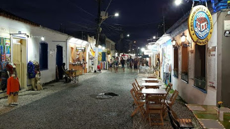
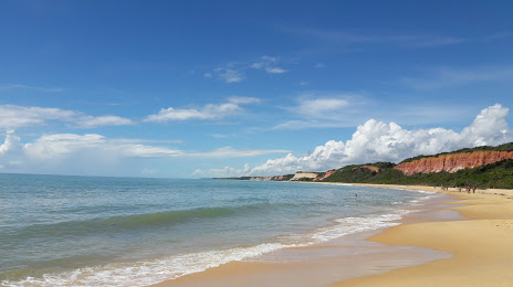
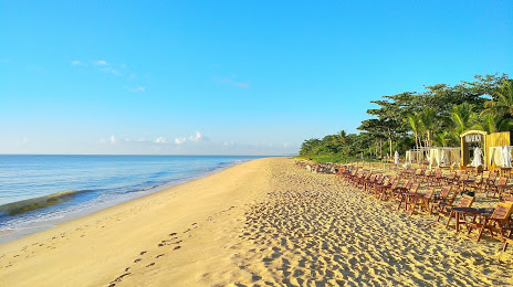
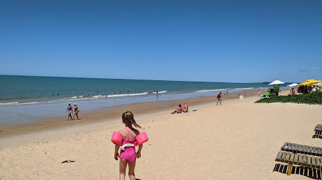
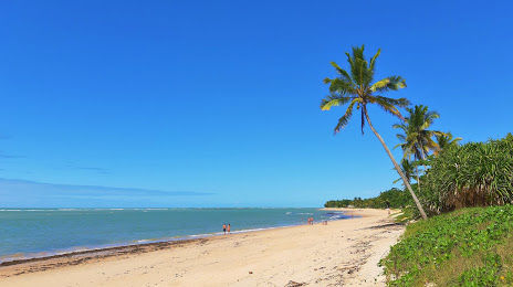
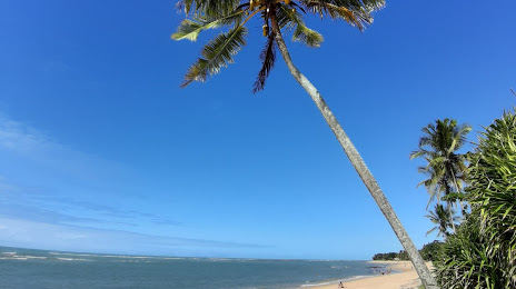
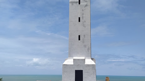
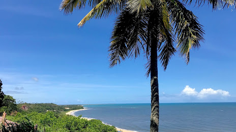
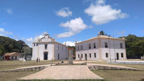
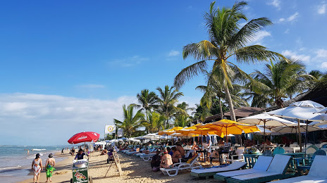
Porto Seguro on the map, Brazil
Where is located Porto Seguro
Exact location — Porto Seguro, Porto Seguro, Bahia, Brazil, marked on the map with a red marker.
Coordinates
Porto Seguro, Brazil coordinates in decimal format: latitude — -16.4443537, longitude — -39.0653656. When converted to degrees, minutes, seconds Porto Seguro has the following coordinates: -16°26′39.67 north latitude and -39°3′55.32 east longitude.
Population
Porto Seguro, Porto Seguro, Bahia, Brazil, according to our data the population is — 123,196 residents, which is about 0.1% of the total population of the country (Brazil).
Comparison of the population on the graph:
Exact time
Time zone for this location Porto Seguro — UTC -3 America/Fortaleza. Exact time — thursday, 5 may 2024 year, 08 h. 38 minutes.
Sunrise and sunset
Porto Seguro, sunrise and sunset data for a date — thursday 2.05.2024.
| Sunrise | Sunset | Day (duration) |
|---|---|---|
| 05:51 +1 minute | 17:15 -0 minutes | 11 h. 24 minutes. -1 minute |
You can control the scale of the map using the auxiliary tools to find out exactly where it is located Porto Seguro. When you change the scale of the map, the width of the ruler also changes (in kilometers and miles).
Nearby cities
The largest cities that are located nearby:
- Ilhéus — 183 km
- Itabuna — 185 km
- Vitória da Conquista — 258 km
- Teófilo Otoni — 301 km
- Jequié — 306 km
- Linhares — 342 km
- Colatina — 379 km
- Salvador — 389 km
- Lauro de Freitas — 402 km
- Valadares Governor — 403 km
- Camaçari — 422 km
- Serra — 427 km
- Cariacica — 445 km
- Vila Velha — 450 km
- Feira de Santana — 463 km
- Alagoinhas — 482 km
- Guarapari — 491 km
- Coronel Fabriciano — 503 km
- Montes Claros — 508 km
Distance to neighboring capitals:
- Asuncion
 (Paraguay) — 2156 km
 - Asuncion (Paraguay) — 2163 km
- Montevideo
 (Uruguay) — 2666 km
 - Buenos Aires
 (Argentina) — 2789 km
 - Paramaribo
 (Suriname) — 3050 km
 - Nuestra Señora de La Paz
 (Bolivia) — 3099 km
 - Georgetown
 (Guyana) — 3332 km
 - Santiago
 (Chile) — 3681 km
 - Caracas
 (Venezuela) — 4289 km
 - Bogota
 (Colombia) — 4505 km
 - Quito
 (Ecuador) — 4683 km