Putilovo — Ruzayevka
Putilovo — Kazan Airport
Putilovo — Naberezhnye Morkvashi
Putilovo — Kotelniki
Putilovo — Solnechnogorsk
Putilovo — Talakan Airport
Putilovo — Toropetsky District
Putilovo — Novomikhaylovskiy
Putilovo — Pervomaysk
Putilovo — Bazhukovo
Putilovo — Ubezhenskaya
Putilovo — Khimki
Putilovo — Baturino
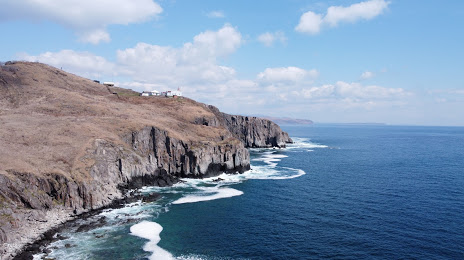
Putilovo — Vladivostok
Putilovo — Barnaul
Putilovo — Marishkino
Putilovo — Doroga Na Rizh-Gubu
Putilovo — Svetlogorsk
Putilovo — Smirnovka
Putilovo — Ruzayevka
Putilovo — Kazan Airport
Putilovo — Naberezhnye Morkvashi
Putilovo — Kotelniki
Putilovo — Solnechnogorsk
Putilovo — Talakan Airport
Putilovo — Toropetsky District
Putilovo — Novomikhaylovskiy
Putilovo — Pervomaysk
Putilovo — Bazhukovo
Putilovo — Ubezhenskaya
Putilovo — Khimki
Putilovo — Baturino
Putilovo — Vladivostok
Putilovo — Barnaul
Putilovo — Marishkino
Putilovo — Doroga Na Rizh-Gubu
Putilovo — Svetlogorsk
Putilovo — Smirnovka
Putilovo — Slavyanka distance, route on the map
Distance by car
Distance between Putilovo, Moscow Oblast, Russian Federation and Slavyanka, Primorsky Krai, Russian Federation by car is — km, or miles. To travel this distance by car, you need minute, or h.
Route on the map, driving directions
Car route Putilovo — Slavyanka was created automatically. The road on the map is shown as a blue line. By moving the markers, you can create a new route through the points you need.
Distance by plane
If you decide to take a trip Putilovo Slavyanka by plane, then you have to fly the distance — 6364 km or 3946 miles. It is marked on the map with a gray line (between two points in a straight line).
Flight time
Estimated flight time Putilovo Slavyanka by plane at cruising speed 750 km / h will be — 8 h. and 29 min.
Direction of movement
Russian Federation, Putilovo — right-hand traffic. Russian Federation, Slavyanka — right-hand traffic.
Difference in time
Putilovo and Slavyanka are in different time zones. The time difference is 7 hours (UTC +3 Europe/Moscow, UTC +10 Asia/Vladivostok).
Interesting Facts
Information on alternative ways to get to your destination.
The length of this distance is about 15.9% of the total length of the equator.
The cost of travel
Calculate the cost of the trip yourself using the fuel consumption calculator, changing the data in the table.