Le May-sur-Èvre — Sainte-Marguerite-sur-Mer
Le May-sur-Èvre — Marsac-sur-l'Isle
Le May-sur-Èvre — Corbeil-Essonnes
Le May-sur-Èvre — Bages
Le May-sur-Èvre — Saint-Aygulf
Le May-sur-Èvre — Villers-Bocage
Le May-sur-Èvre — Hauconcourt
Le May-sur-Èvre — Vinassan
Le May-sur-Èvre — Soignolles
Le May-sur-Èvre — Pont-de-Salars
Le May-sur-Èvre — Zuydcoote
Le May-sur-Èvre — Gréoux-les-Bains
Le May-sur-Èvre — Roppenheim
Le May-sur-Èvre — Villequier-Aumont
Le May-sur-Èvre — Saint-Alban-sur-Limagnole
Le May-sur-Èvre — Charmoille
Le May-sur-Èvre — Salles-Arbuissonnas-en-Beaujolais
Le May-sur-Èvre — La Touche
Le May-sur-Èvre — Peille
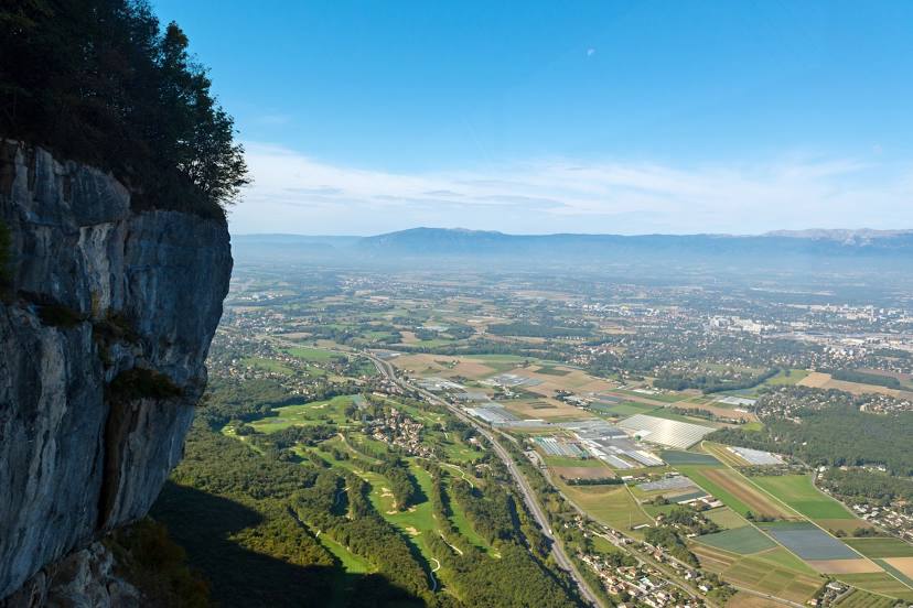
Le May-sur-Èvre — Saint-Julien-en-Genevois distance, route on the map
Distance by car
Distance between Le May-sur-Èvre, Pays de la Loire, France and Saint-Julien-en-Genevois, Rhone-Alpes, France by car is — km, or miles. To travel this distance by car, you need minute, or h.
Route on the map, driving directions
Car route Le May-sur-Èvre — Saint-Julien-en-Genevois was created automatically. The road on the map is shown as a blue line. By moving the markers, you can create a new route through the points you need.
Distance by plane
If you decide to take a trip Le May-sur-Èvre Saint-Julien-en-Genevois by plane, then you have to fly the distance — 544 km or 337 miles. It is marked on the map with a gray line (between two points in a straight line).
Flight time
Estimated flight time Le May-sur-Èvre Saint-Julien-en-Genevois by plane at cruising speed 750 km / h will be — 43 min.
Direction of movement
France, Le May-sur-Èvre — right-hand traffic. France, Saint-Julien-en-Genevois — right-hand traffic.
Difference in time
Le May-sur-Èvre and Saint-Julien-en-Genevois are in the same time zone. Between them there is no time difference (UTC +2 Europe/Paris).
Interesting Facts
Information on alternative ways to get to your destination.
The length of this distance is about 1.4% of the total length of the equator.
The percentage of the population is clearly shown in the graph:
Le May-sur-Èvre — 4,125 (less by 5,983), Saint-Julien-en-Genevois — 10,108 residents.
The cost of travel
Calculate the cost of the trip yourself using the fuel consumption calculator, changing the data in the table.