
 Rociana del Condado
Torrelaguna
Coria del Río
Villar del Rey
Tous
Alcañiz
Loro
Bores
Sampol
Atarfe
Riba-roja de Túria
Gata de Gorgos
Azagra
Agón
Terrassa
Porto do Son
La Solana
Gibraleón
El Toscal
Rociana del Condado
Torrelaguna
Coria del Río
Villar del Rey
Tous
Alcañiz
Loro
Bores
Sampol
Atarfe
Riba-roja de Túria
Gata de Gorgos
Azagra
Agón
Terrassa
Porto do Son
La Solana
Gibraleón
El Toscal
Valdemoro on the map, Spain
Where is located Valdemoro
Exact location — Valdemoro, Madrid, Comunidad de Madrid, Spain, marked on the map with a red marker.
Coordinates
Valdemoro, Spain coordinates in decimal format: latitude — 40.1912403, longitude — -3.6740182. When converted to degrees, minutes, seconds Valdemoro has the following coordinates: 40°11′28.47 north latitude and -3°40′26.47 east longitude.
Population
Valdemoro, Madrid, Comunidad de Madrid, Spain, according to our data the population is — 36,688 residents, which is about 0.1% of the total population of the country (Spain).
Comparison of the population on the graph:
Exact time
Time zone for this location Valdemoro — UTC +2 Europe/Madrid. Exact time — saturday, 4 april 2024 year, 17 h. 21 minute.
Sunrise and sunset
Valdemoro, sunrise and sunset data for a date — saturday 27.04.2024.
| Sunrise | Sunset | Day (duration) |
|---|---|---|
| 07:21 -2 minutes | 21:02 +1 minute | 13 h. 42 minutes. +3 minutes |
You can control the scale of the map using the auxiliary tools to find out exactly where it is located Valdemoro. When you change the scale of the map, the width of the ruler also changes (in kilometers and miles).
Nearby cities
The largest cities that are located nearby:
- Getafe — 14 km
- Fuenlabrada — 15 km
- Leganés — 17 km
- Alcorcón — 22 km
- Móstoles — 22 km
- Torrejón de Ardoz — 34 km
- Alcobendas — 38 km
- Alcala de Henares — 41 km
- Valladolid — 183 km
- Salamanca — 187 km
- Albacete — 205 km
- Burgos — 238 km
- Jaén — 267 km
- Logroño — 270 km
- Córdoba — 272 km
- Zaragoza — 281 km
- Valencia — 293 km
- Vitoria-Gasteiz — 306 km
- León — 308 km
Distance to neighboring capitals:
- Lisbon
 (Portugal) — 497 km
 - Andorra la Vella
 (Andorra) — 504 km
 - Rabat
 (Morocco) — 747 km
 - Paris
 (France) — 1075 km
 - Paris (France) — 1075 km
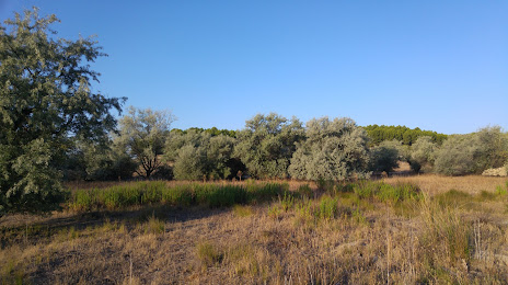
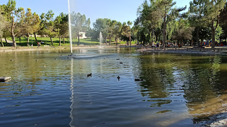
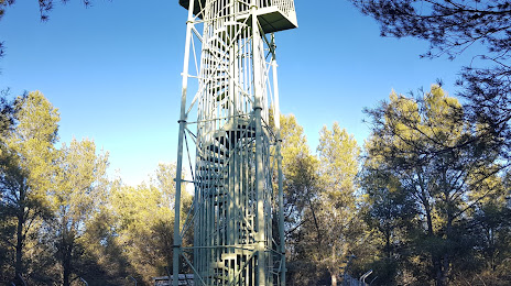
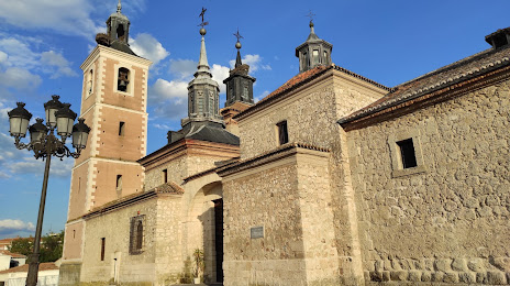
Attractions

Distance to the capital
Distance to the capital (Madrid) is about — 25 km.