
 Herrera
San Francisco
Valdefuentes
Santa Pola
Valdemoro
Villamartín
Deza
Candelaria
Fraga
El Viso del Alcor
Aras de los Olmos
Mairena del Alcor
Ayesa
Virtus
Collado
Ocio
Munébrega
Castelldefels
Marín
Herrera
San Francisco
Valdefuentes
Santa Pola
Valdemoro
Villamartín
Deza
Candelaria
Fraga
El Viso del Alcor
Aras de los Olmos
Mairena del Alcor
Ayesa
Virtus
Collado
Ocio
Munébrega
Castelldefels
Marín
Terrassa on the map, Spain
Where is located Terrassa
Exact location — Terrassa, Barcelona, Catalonia, Spain, marked on the map with a red marker.
Coordinates
Terrassa, Spain coordinates in decimal format: latitude — 41.563211, longitude — 2.0088747. When converted to degrees, minutes, seconds Terrassa has the following coordinates: 41°33′47.56 north latitude and 2°0′31.95 east longitude.
Population
Terrassa, Barcelona, Catalonia, Spain, according to our data the population is — 210,941 residents, which is about 0.5% of the total population of the country (Spain).
Comparison of the population on the graph:
Exact time
Time zone for this location Terrassa — UTC +2 Europe/Madrid. Exact time — thursday, 5 may 2024 year, 15 h. 16 minutes.
Sunrise and sunset
Terrassa, sunrise and sunset data for a date — thursday 2.05.2024.
| Sunrise | Sunset | Day (duration) |
|---|---|---|
| 06:50 -1 minute | 20:47 +1 minute | 14 h. 0 minutes. +2 minutes |
You can control the scale of the map using the auxiliary tools to find out exactly where it is located Terrassa. When you change the scale of the map, the width of the ruler also changes (in kilometers and miles).
Nearby cities
The largest cities that are located nearby:
- Sabadell — 8 km
- Santa Coloma de Gramenet — 21 km
- Badalona — 23 km
- L'Hospitalet de Llobregat — 24 km
- Mataró — 36 km
- Tarragona — 80 km
- Lleida — 115 km
- Perpignan
 (France) — 144 km
 - Palma — 227 km
- Toulouse (France) — 230 km
- Zaragoza — 240 km
- Montpellier (France) — 271 km
- Valencia — 308 km
- Nimes (France) — 314 km
- Pamplona — 327 km
- Marseille (France) — 331 km
- Aix-en-Provence (France) — 351 km
- Toulon (France) — 360 km
- San Sebastián — 375 km
Distance to neighboring capitals:
- Andorra la Vella
 (Andorra) — 112 km
 - Paris (France) — 812 km
- Paris (France) — 812 km
- Lisbon
 (Portugal) — 998 km
 - Rabat
 (Morocco) — 1147 km
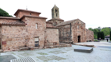
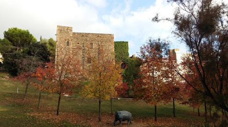
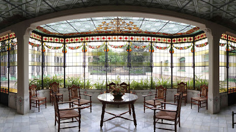
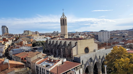
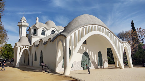
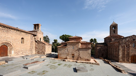
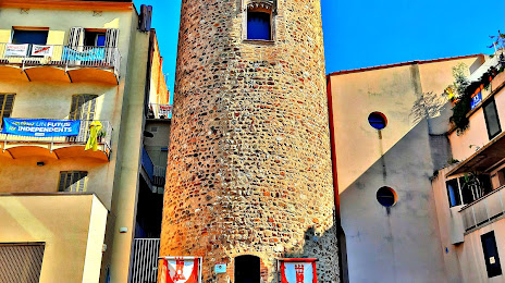
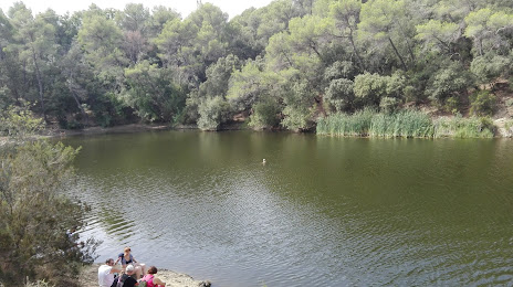
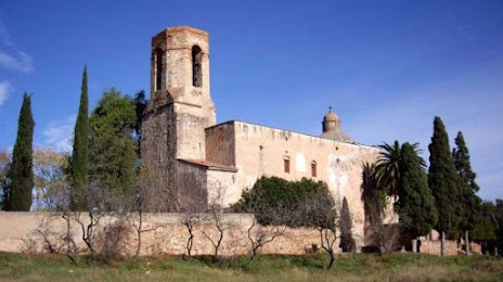
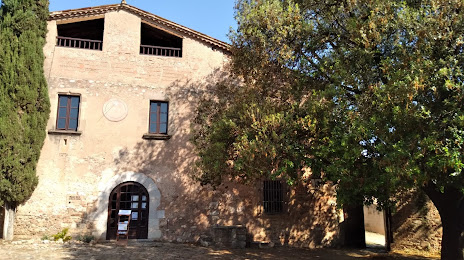
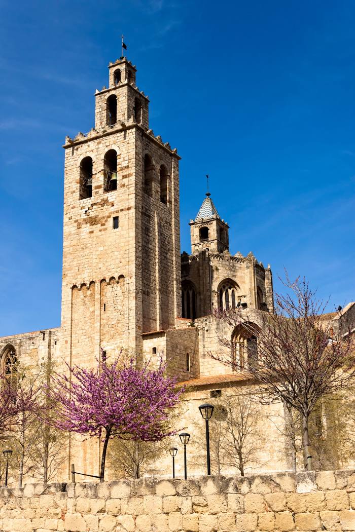
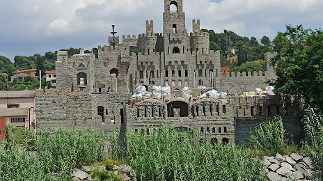
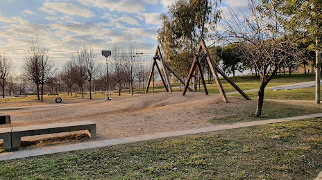
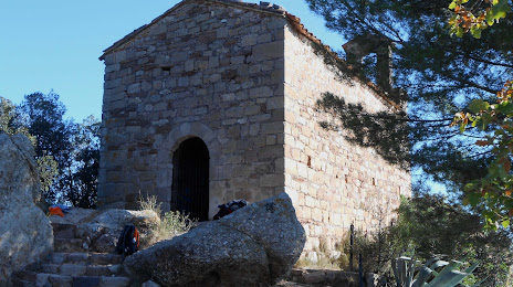
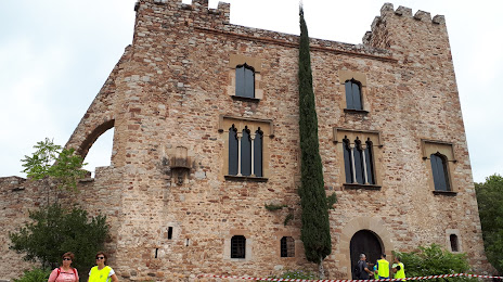
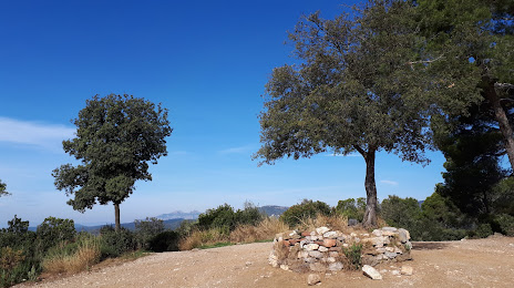
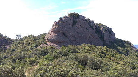
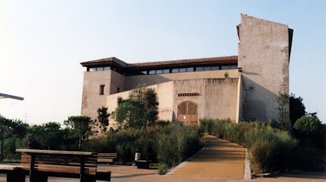
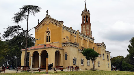
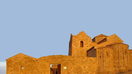
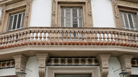
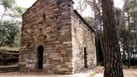
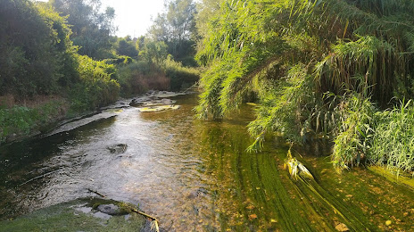
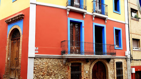
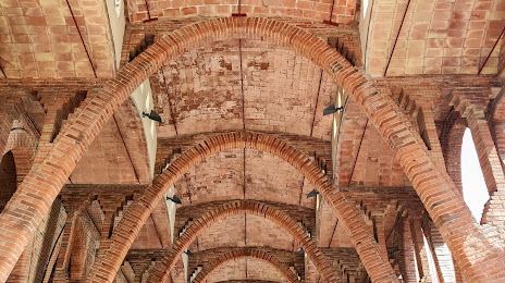
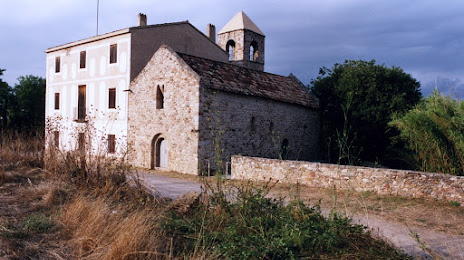
Attractions


Distance to the capital
Distance to the capital (Madrid) is about — 496 km.