
 Riego
Xilxes
Antequera
El Toscal
Gibraleón
La Solana
Porto do Son
Terrassa
Agón
San Millán de la Cogolla
Monterrubio
Quer
Rojas
Luque
Padrón
Cabra
Vara de Rey
Llano de Olmedo
Lloret de Mar
Riego
Xilxes
Antequera
El Toscal
Gibraleón
La Solana
Porto do Son
Terrassa
Agón
San Millán de la Cogolla
Monterrubio
Quer
Rojas
Luque
Padrón
Cabra
Vara de Rey
Llano de Olmedo
Lloret de Mar
Castelldefels on the map, Spain
Where is located Castelldefels
Exact location — Castelldefels, Barcelona, Catalunya, Spain, marked on the map with a red marker.
Coordinates
Castelldefels, Spain coordinates in decimal format: latitude — 41.2800161, longitude — 1.9766294. When converted to degrees, minutes, seconds Castelldefels has the following coordinates: 41°16′48.06 north latitude and 1°58′35.87 east longitude.
Population
Castelldefels, Barcelona, Catalunya, Spain, according to our data the population is — 50,167 residents, which is about 0.1% of the total population of the country (Spain).
Comparison of the population on the graph:
Exact time
Time zone for this location Castelldefels — UTC +2 Europe/Madrid. Exact time — wednesday, 5 may 2024 year, 15 h. 12 minutes.
Sunrise and sunset
Castelldefels, sunrise and sunset data for a date — wednesday 22.05.2024.
| Sunrise | Sunset | Day (duration) |
|---|---|---|
| 06:30 -1 minute | 21:07 +1 minute | 14 h. 36 minutes. +2 minutes |
You can control the scale of the map using the auxiliary tools to find out exactly where it is located Castelldefels. When you change the scale of the map, the width of the ruler also changes (in kilometers and miles).
Nearby cities
The largest cities that are located nearby:
- L'Hospitalet de Llobregat — 15 km
- Santa Coloma de Gramenet — 27 km
- Badalona — 29 km
- Sabadell — 31 km
- Terrassa — 31 km
- Mataró — 48 km
- Tarragona — 64 km
- Lleida — 118 km
- Perpignan
 (France) — 173 km
 - Palma — 198 km
- Zaragoza — 240 km
- Toulouse (France) — 261 km
- Valencia — 284 km
- Montpellier (France) — 299 km
- Pamplona — 339 km
- Nimes (France) — 341 km
- Marseille (France) — 353 km
- Aix-en-Provence (France) — 373 km
- Toulon (France) — 378 km
Distance to neighboring capitals:
- Andorra la Vella
 (Andorra) — 141 km
 - Paris (France) — 843 km
- Paris (France) — 843 km
- Lisbon
 (Portugal) — 988 km
 - Rabat
 (Morocco) — 1124 km
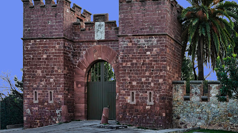
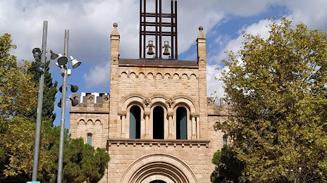
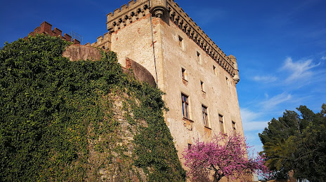
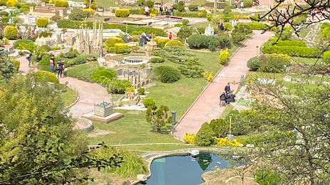
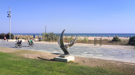
Attractions


Distance to the capital
Distance to the capital (Madrid) is about — 487 km.