
 Albaida
La Roza
Otxandio
Arganda del Rey
Marín
Castelldefels
Munébrega
Ocio
Collado
Bullas
Bormujos
Estrella
Navalcarnero
San Carlos del Valle
Ribadesella
Mazarrón
Almoradí
Castropol
Balsicas
Albaida
La Roza
Otxandio
Arganda del Rey
Marín
Castelldefels
Munébrega
Ocio
Collado
Bullas
Bormujos
Estrella
Navalcarnero
San Carlos del Valle
Ribadesella
Mazarrón
Almoradí
Castropol
Balsicas
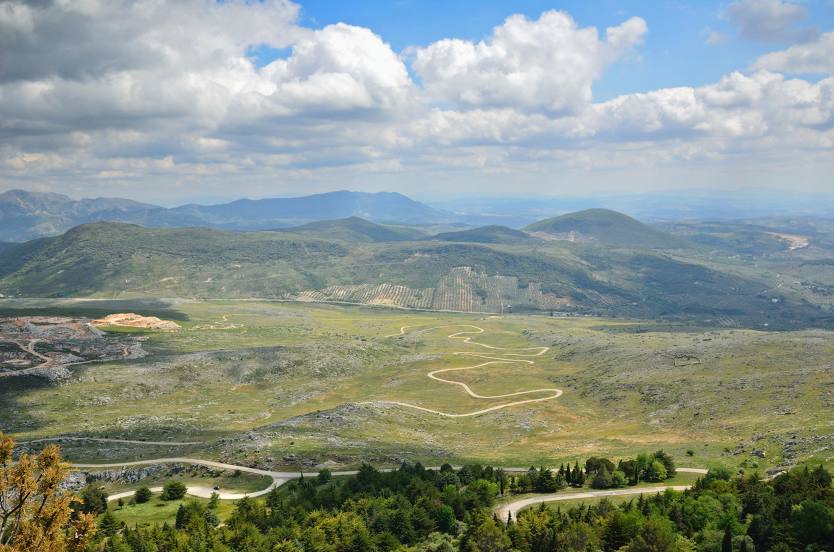
Cabra on the map, Spain
Where is located Cabra
Exact location — Cabra, Córdoba, Andalucía, Spain, marked on the map with a red marker.
Coordinates
Cabra, Spain coordinates in decimal format: latitude — 37.4733595, longitude — -4.4425169. When converted to degrees, minutes, seconds Cabra has the following coordinates: 37°28′24.09 north latitude and -4°26′33.06 east longitude.
Population
Cabra, Córdoba, Andalucía, Spain, according to our data the population is — 20,806 residents, which is about 0% of the total population of the country (Spain).
Comparison of the population on the graph:
Exact time
Time zone for this location Cabra — UTC +2 Europe/Madrid. Exact time — thursday, 5 may 2024 year, 22 h. 47 minutes.
Sunrise and sunset
Cabra, sunrise and sunset data for a date — thursday 2.05.2024.
| Sunrise | Sunset | Day (duration) |
|---|---|---|
| 07:23 -1 minute | 21:05 +1 minute | 13 h. 42 minutes. +2 minutes |
You can control the scale of the map using the auxiliary tools to find out exactly where it is located Cabra. When you change the scale of the map, the width of the ruler also changes (in kilometers and miles).
Nearby cities
The largest cities that are located nearby:
- Córdoba — 54 km
- Jaén — 67 km
- Granada — 81 km
- Málaga — 83 km
- Marbella — 113 km
- Dos Hermanas — 132 km
- Jerez — 173 km
- Algeciras — 173 km
- Almería — 189 km
- Cádiz — 195 km
- Huelva — 221 km
- Tetouan
 (Morocco) — 227 km
 - Tangier (Morocco) — 227 km
- Badajoz — 267 km
- Albacete — 279 km
- Nador (Morocco) — 289 km
- Murcia — 294 km
- Cartagena — 302 km
- Fuenlabrada — 316 km
Distance to neighboring capitals:
- Lisbon
 (Portugal) — 434 km
 - Rabat (Morocco) — 446 km
- Andorra la Vella
 (Andorra) — 756 km
 - Paris
 (France) — 1380 km
 - Paris (France) — 1380 km
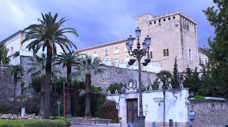
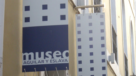
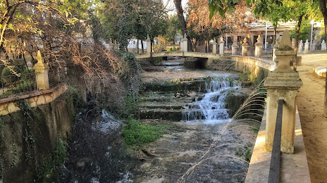
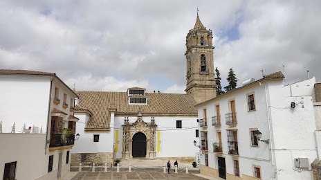
Attractions

Distance to the capital
Distance to the capital (Madrid) is about — 334 km.