
 Polinyà
Montmeló
Herreros de Suso
Lloret de Mar
Llano de Olmedo
Vara de Rey
Cabra
Padrón
Luque
Albuixec
Calahorra
Almassora
Romeral
Tablado
Fuendetodos
Viveiro
Bárcena de Pie de Concha
Parla
El Campello
Polinyà
Montmeló
Herreros de Suso
Lloret de Mar
Llano de Olmedo
Vara de Rey
Cabra
Padrón
Luque
Albuixec
Calahorra
Almassora
Romeral
Tablado
Fuendetodos
Viveiro
Bárcena de Pie de Concha
Parla
El Campello
Almoradí on the map, Spain
Where is located Almoradí
Exact location — Almoradí, Alicante, Comunidad Valenciana, Spain, marked on the map with a red marker.
Coordinates
Almoradí, Spain coordinates in decimal format: latitude — 38.1107088, longitude — -0.7937015. When converted to degrees, minutes, seconds Almoradí has the following coordinates: 38°6′38.55 north latitude and -0°47′37.33 east longitude.
Population
Almoradí, Alicante, Comunidad Valenciana, Spain, according to our data the population is — 16,415 residents, which is about 0% of the total population of the country (Spain).
Comparison of the population on the graph:
Exact time
Time zone for this location Almoradí — UTC +2 Europe/Madrid. Exact time — sunday, 5 may 2024 year, 06 h. 25 minutes.
Sunrise and sunset
Almoradí, sunrise and sunset data for a date — sunday 12.05.2024.
| Sunrise | Sunset | Day (duration) |
|---|---|---|
| 06:57 -1 minute | 21:01 +1 minute | 14 h. 6 minutes. +2 minutes |
You can control the scale of the map using the auxiliary tools to find out exactly where it is located Almoradí. When you change the scale of the map, the width of the ruler also changes (in kilometers and miles).
Nearby cities
The largest cities that are located nearby:
- Murcia — 32 km
- Cartagena — 56 km
- Albacete — 134 km
- Valencia — 154 km
- Almería — 204 km
- Jaén — 264 km
- Oran
 (Algeria) — 267 km
 - Granada — 268 km
- Chlef (Algeria) — 287 km
- Relizane (Algeria) — 289 km
- Sidi Bel Abbes (Algeria) — 322 km
- Palma — 335 km
- Alcala de Henares — 340 km
- Torrejón de Ardoz — 344 km
- Getafe — 347 km
- Córdoba — 349 km
- Fuenlabrada — 350 km
- Leganés — 351 km
- Alcorcón — 356 km
Distance to neighboring capitals:
- Andorra la Vella
 (Andorra) — 527 km
 - Rabat
 (Morocco) — 713 km
 - Lisbon
 (Portugal) — 730 km
 - Paris
 (France) — 1222 km
 - Paris (France) — 1222 km
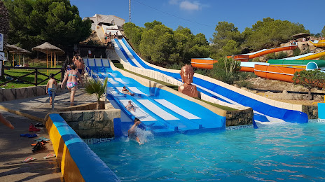
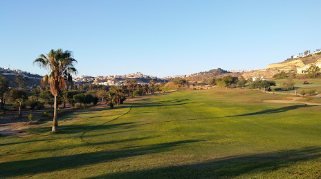
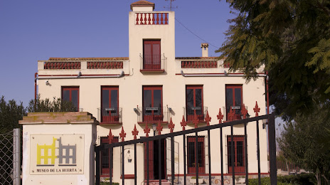
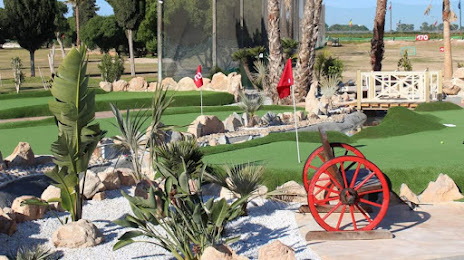
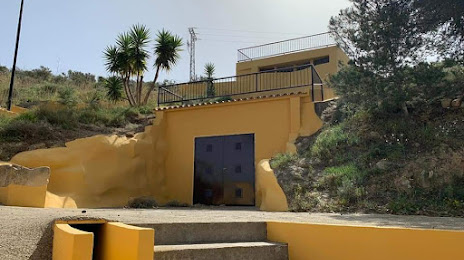
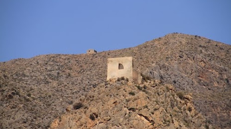
Attractions
Distance to the capital
Distance to the capital (Madrid) is about — 359 km.