
 Almoradí
Mazarrón
Ribadesella
San Carlos del Valle
Navalcarnero
Estrella
Bormujos
Bullas
Torremolinos
Sant Jordi
Mejorada del Campo
Alarcón
Maro
Montoro
Orihuela
Siresa
Tomelloso
Magdalena
Algete
Almoradí
Mazarrón
Ribadesella
San Carlos del Valle
Navalcarnero
Estrella
Bormujos
Bullas
Torremolinos
Sant Jordi
Mejorada del Campo
Alarcón
Maro
Montoro
Orihuela
Siresa
Tomelloso
Magdalena
Algete
Calahorra on the map, Spain
Where is located Calahorra
Exact location — Calahorra, La Rioja, La Rioja, Spain, marked on the map with a red marker.
Coordinates
Calahorra, Spain coordinates in decimal format: latitude — 42.3073551, longitude — -1.9673133. When converted to degrees, minutes, seconds Calahorra has the following coordinates: 42°18′26.48 north latitude and -1°58′2.33 east longitude.
Population
Calahorra, La Rioja, La Rioja, Spain, according to our data the population is — 21,923 residents, which is about 0% of the total population of the country (Spain).
Comparison of the population on the graph:
Exact time
Time zone for this location Calahorra — UTC +2 Europe/Madrid. Exact time — sunday, 4 april 2024 year, 02 h. 55 minutes.
Sunrise and sunset
Calahorra, sunrise and sunset data for a date — sunday 28.04.2024.
| Sunrise | Sunset | Day (duration) |
|---|---|---|
| 07:09 -2 minutes | 21:00 +1 minute | 13 h. 54 minutes. +3 minutes |
You can control the scale of the map using the auxiliary tools to find out exactly where it is located Calahorra. When you change the scale of the map, the width of the ruler also changes (in kilometers and miles).
Nearby cities
The largest cities that are located nearby:
- Logroño — 43 km
- Pamplona — 62 km
- Vitoria-Gasteiz — 84 km
- San Sebastián — 112 km
- Zaragoza — 115 km
- Bilbao — 131 km
- Burgos — 141 km
- Santander — 195 km
- Lleida — 227 km
- Alcala de Henares — 233 km
- Valladolid — 239 km
- Torrejón de Ardoz — 241 km
- Alcobendas — 241 km
- Leganés — 266 km
- Getafe — 266 km
- Alcorcón — 268 km
- Fuenlabrada — 272 km
- Móstoles — 272 km
- León — 295 km
Distance to neighboring capitals:
- Andorra la Vella
 (Andorra) — 287 km
 - Lisbon
 (Portugal) — 725 km
 - Paris
 (France) — 802 km
 - Paris (France) — 802 km
- Rabat
 (Morocco) — 1020 km
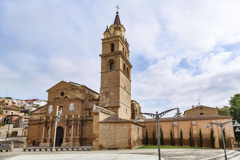
Attractions


Distance to the capital
Distance to the capital (Madrid) is about — 255 km.