
 Luque
Rojas
Quer
Monterrubio
San Millán de la Cogolla
Sagunt
Carmona
Daimiel
Pilar de la Horadada
Querol
Las Torres de Cotillas
Alàs
Vilalba
Olivenza
Carrocera
Almonte
Olivar
Albuixec
Calahorra
Luque
Rojas
Quer
Monterrubio
San Millán de la Cogolla
Sagunt
Carmona
Daimiel
Pilar de la Horadada
Querol
Las Torres de Cotillas
Alàs
Vilalba
Olivenza
Carrocera
Almonte
Olivar
Albuixec
Calahorra
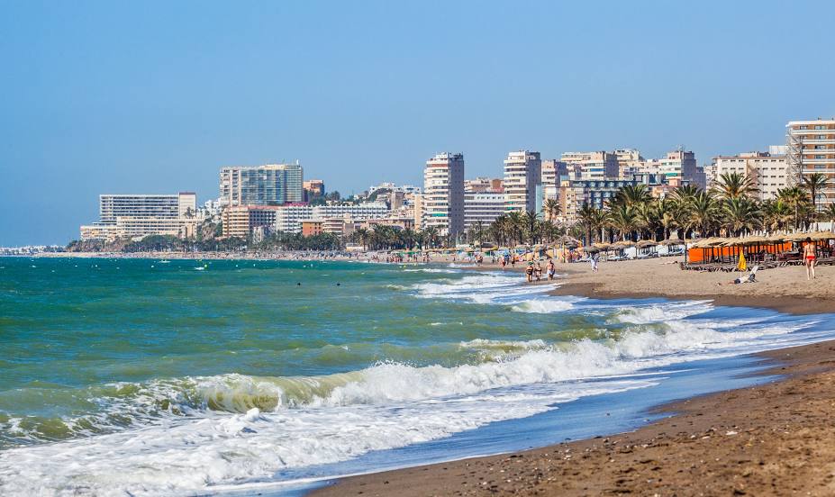
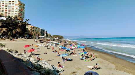
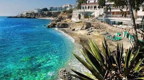
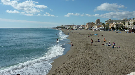
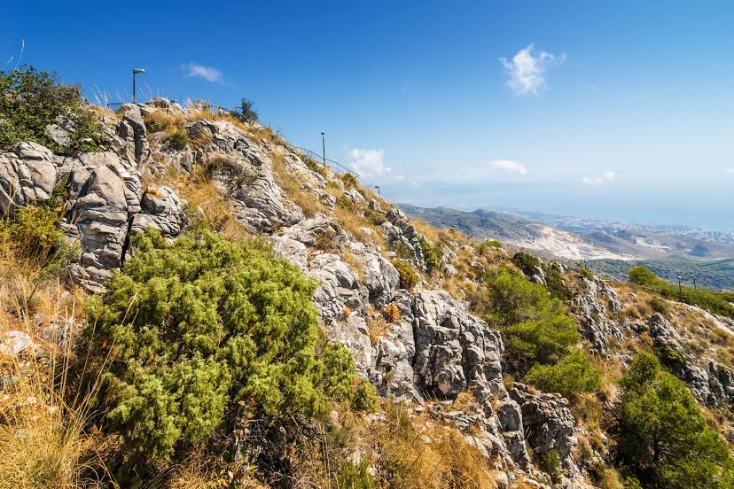
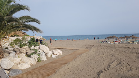
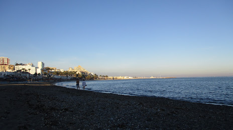
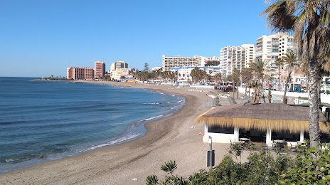
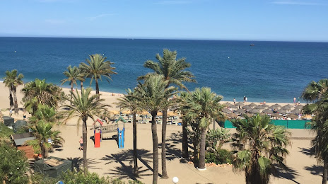
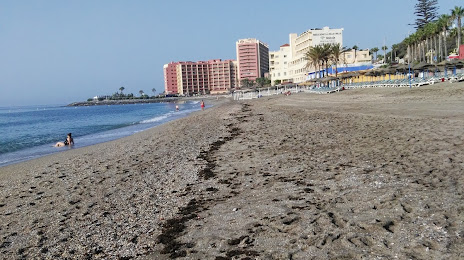
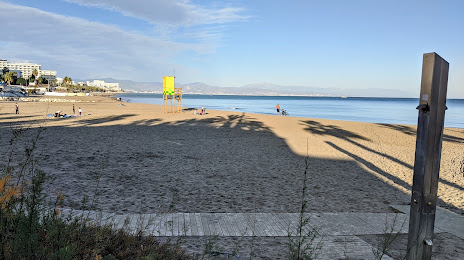
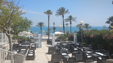
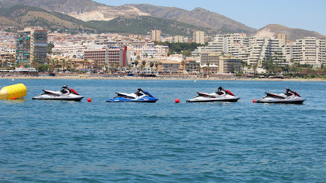
Torremolinos on the map, Spain
Where is located Torremolinos
Exact location — Torremolinos, Málaga, Andalucía, Spain, marked on the map with a red marker.
Coordinates
Torremolinos, Spain coordinates in decimal format: latitude — 36.6225541, longitude — -4.4994767. When converted to degrees, minutes, seconds Torremolinos has the following coordinates: 36°37′21.19 north latitude and -4°29′58.12 east longitude.
Population
Torremolinos, Málaga, Andalucía, Spain, according to our data the population is — 49,412 residents, which is about 0.1% of the total population of the country (Spain).
Comparison of the population on the graph:
Exact time
Time zone for this location Torremolinos — UTC +2 Europe/Madrid. Exact time — tuesday, 5 may 2024 year, 05 h. 24 minutes.
Sunrise and sunset
Torremolinos, sunrise and sunset data for a date — tuesday 7.05.2024.
| Sunrise | Sunset | Day (duration) |
|---|---|---|
| 07:20 -1 minute | 21:08 +1 minute | 13 h. 48 minutes. +2 minutes |
You can control the scale of the map using the auxiliary tools to find out exactly where it is located Torremolinos. When you change the scale of the map, the width of the ruler also changes (in kilometers and miles).
Nearby cities
The largest cities that are located nearby:
- Málaga — 6 km
- Marbella — 36 km
- Granada — 100 km
- Algeciras — 101 km
- Tetouan
 (Morocco) — 140 km
 - Córdoba — 142 km
- Jaén — 142 km
- Jerez — 144 km
- Dos Hermanas — 145 km
- Tangier (Morocco) — 153 km
- Cádiz — 159 km
- Almería — 182 km
- Nador (Morocco) — 214 km
- Huelva — 226 km
- Taounate (Morocco) — 231 km
- Taza (Morocco) — 270 km
- Meknes (Morocco) — 317 km
- Oujda (Morocco) — 318 km
- Kenitra (Morocco) — 324 km
Distance to neighboring capitals:
- Rabat (Morocco) — 364 km
- Lisbon
 (Portugal) — 470 km
 - Andorra la Vella
 (Andorra) — 833 km
 - Paris
 (France) — 1470 km
 - Paris (France) — 1470 km
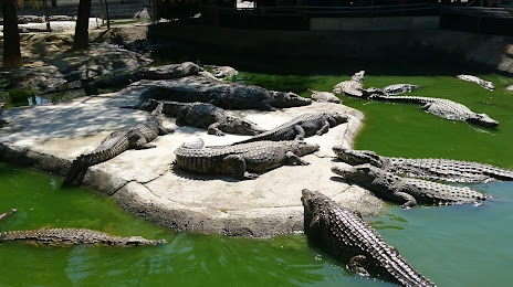
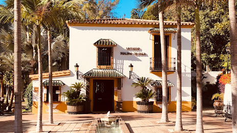
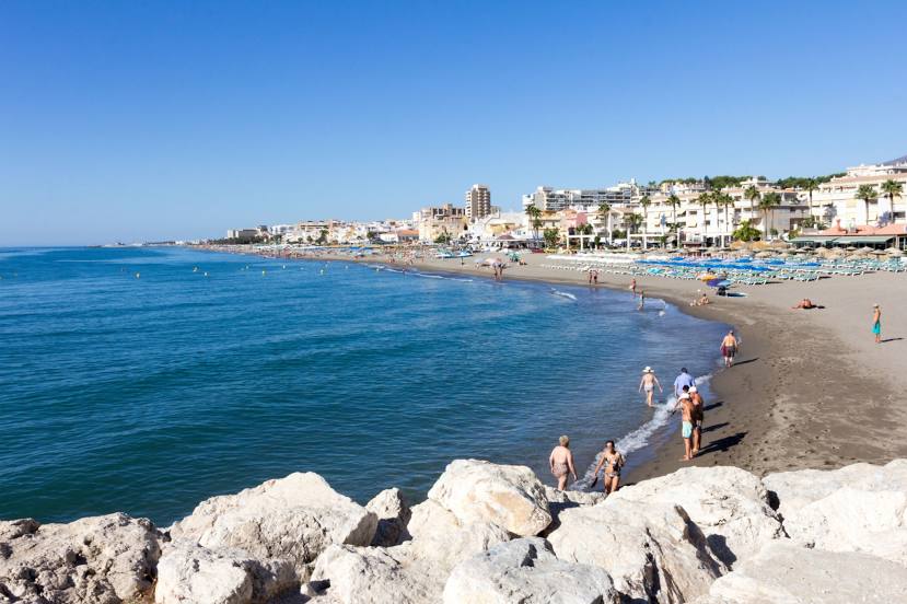
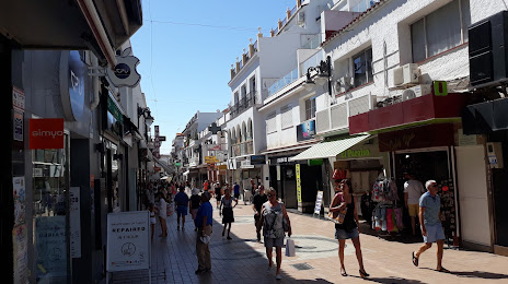
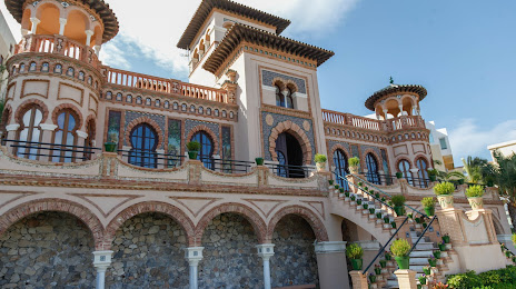
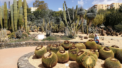
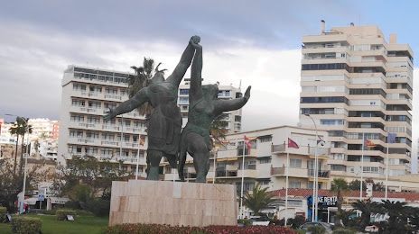
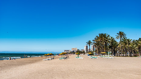
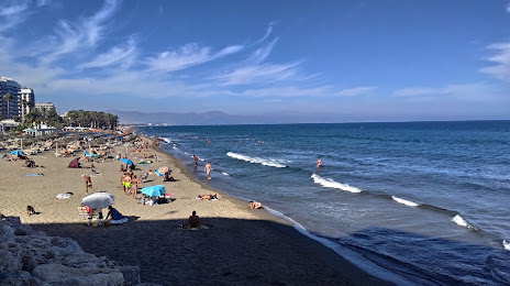
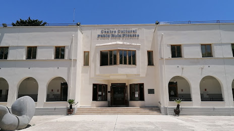
Attractions


Distance to the capital
Distance to the capital (Madrid) is about — 428 km.