
 Torremolinos
Totana
Sotelo
Alhama de Aragón
Polinyà
Montmeló
Herreros de Suso
Lloret de Mar
Llano de Olmedo
Tablado
Fuendetodos
Viveiro
Bárcena de Pie de Concha
Parla
El Campello
La Matanza de Acentejo
Camponaraya
Sant Jordi
Mejorada del Campo
Torremolinos
Totana
Sotelo
Alhama de Aragón
Polinyà
Montmeló
Herreros de Suso
Lloret de Mar
Llano de Olmedo
Tablado
Fuendetodos
Viveiro
Bárcena de Pie de Concha
Parla
El Campello
La Matanza de Acentejo
Camponaraya
Sant Jordi
Mejorada del Campo
Las Torres de Cotillas on the map, Spain
Where is located Las Torres de Cotillas
Exact location — Las Torres de Cotillas, Murcia, Región de Murcia, Spain, marked on the map with a red marker.
Coordinates
Las Torres de Cotillas, Spain coordinates in decimal format: latitude — 38.0274986, longitude — -1.2433848. When converted to degrees, minutes, seconds Las Torres de Cotillas has the following coordinates: 38°1′38.99 north latitude and -1°14′36.19 east longitude.
Population
Las Torres de Cotillas, Murcia, Región de Murcia, Spain, according to our data the population is — 18,208 residents, which is about 0% of the total population of the country (Spain).
Comparison of the population on the graph:
Exact time
Time zone for this location Las Torres de Cotillas — UTC +2 Europe/Madrid. Exact time — friday, 5 may 2024 year, 11 h. 09 minutes.
Sunrise and sunset
Las Torres de Cotillas, sunrise and sunset data for a date — friday 10.05.2024.
| Sunrise | Sunset | Day (duration) |
|---|---|---|
| 07:01 -1 minute | 21:01 +1 minute | 14 h. 0 minutes. +2 minutes |
You can control the scale of the map using the auxiliary tools to find out exactly where it is located Las Torres de Cotillas. When you change the scale of the map, the width of the ruler also changes (in kilometers and miles).
Nearby cities
The largest cities that are located nearby:
- Murcia — 11 km
- Cartagena — 49 km
- Albacete — 119 km
- Almería — 171 km
- Valencia — 176 km
- Jaén — 224 km
- Granada — 228 km
- Oran
 (Algeria) — 263 km
 - Relizane (Algeria) — 300 km
- Chlef (Algeria) — 309 km
- Córdoba — 309 km
- Málaga — 317 km
- Sidi Bel Abbes (Algeria) — 317 km
- Alcala de Henares — 325 km
- Torrejón de Ardoz — 328 km
- Getafe — 328 km
- Fuenlabrada — 330 km
- Leganés — 332 km
- Alcorcón — 336 km
Distance to neighboring capitals:
- Andorra la Vella
 (Andorra) — 551 km
 - Rabat
 (Morocco) — 677 km
 - Lisbon
 (Portugal) — 693 km
 - Paris
 (France) — 1239 km
 - Paris (France) — 1239 km
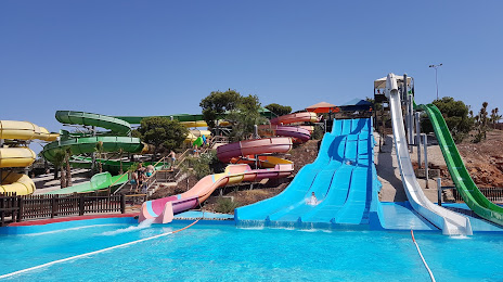
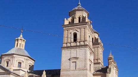
Attractions

Distance to the capital
Distance to the capital (Madrid) is about — 340 km.