
 Olivenza
Vilalba
Alàs
Las Torres de Cotillas
Querol
Balsicas
Castropol
Almoradí
Mazarrón
Tomelloso
Magdalena
Algete
Monteagudo
Bollullos
Amorebieta-Etxano
Campo de Criptana
Arca
Zafra
Sierra de Yeguas
Olivenza
Vilalba
Alàs
Las Torres de Cotillas
Querol
Balsicas
Castropol
Almoradí
Mazarrón
Tomelloso
Magdalena
Algete
Monteagudo
Bollullos
Amorebieta-Etxano
Campo de Criptana
Arca
Zafra
Sierra de Yeguas
Parla on the map, Spain
Where is located Parla
Exact location — Parla, Madrid, Comunidad de Madrid, Spain, marked on the map with a red marker.
Coordinates
Parla, Spain coordinates in decimal format: latitude — 40.232367, longitude — -3.768906. When converted to degrees, minutes, seconds Parla has the following coordinates: 40°13′56.52 north latitude and -3°46′8.06 east longitude.
Population
Parla, Madrid, Comunidad de Madrid, Spain, according to our data the population is — 88,983 residents, which is about 0.2% of the total population of the country (Spain).
Comparison of the population on the graph:
Exact time
Time zone for this location Parla — UTC +2 Europe/Madrid. Exact time — monday, 5 may 2024 year, 00 h. 57 minutes.
Sunrise and sunset
Parla, sunrise and sunset data for a date — monday 6.05.2024.
| Sunrise | Sunset | Day (duration) |
|---|---|---|
| 07:11 -1 minute | 21:12 +1 minute | 14 h. 0 minutes. +2 minutes |
You can control the scale of the map using the auxiliary tools to find out exactly where it is located Parla. When you change the scale of the map, the width of the ruler also changes (in kilometers and miles).
Nearby cities
The largest cities that are located nearby:
- Fuenlabrada — 7 km
- Getafe — 9 km
- Leganés — 11 km
- Móstoles — 13 km
- Alcorcón — 14 km
- Torrejón de Ardoz — 35 km
- Alcobendas — 35 km
- Alcala de Henares — 44 km
- Valladolid — 176 km
- Salamanca — 178 km
- Albacete — 214 km
- Burgos — 234 km
- Logroño — 269 km
- Jaén — 271 km
- Córdoba — 274 km
- Zaragoza — 285 km
- León — 300 km
- Valencia — 302 km
- Vitoria-Gasteiz — 303 km
Distance to neighboring capitals:
- Lisbon
 (Portugal) — 491 km
 - Andorra la Vella
 (Andorra) — 509 km
 - Rabat
 (Morocco) — 748 km
 - Paris
 (France) — 1074 km
 - Paris (France) — 1074 km
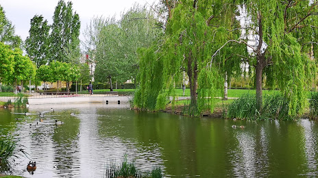
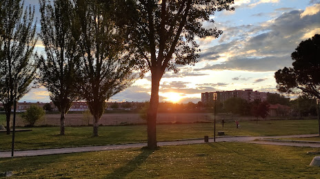
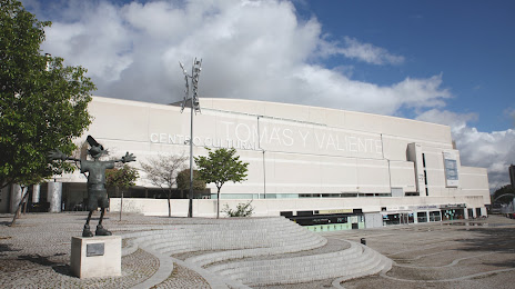
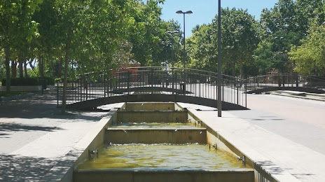
Attractions


Distance to the capital
Distance to the capital (Madrid) is about — 21 km.