
 Maro
Alarcón
Mejorada del Campo
Sant Jordi
Camponaraya
La Matanza de Acentejo
El Campello
Parla
Bárcena de Pie de Concha
Aoiz
Gesaltza Añana
Telde
Caravaca de la Cruz
Valentín
Pozuelo
San Bartolomé
Güimar
Aduna
Morcillo
Maro
Alarcón
Mejorada del Campo
Sant Jordi
Camponaraya
La Matanza de Acentejo
El Campello
Parla
Bárcena de Pie de Concha
Aoiz
Gesaltza Añana
Telde
Caravaca de la Cruz
Valentín
Pozuelo
San Bartolomé
Güimar
Aduna
Morcillo
Zafra on the map, Spain
Where is located Zafra
Exact location — Zafra, Badajoz, Extremadura, Spain, marked on the map with a red marker.
Coordinates
Zafra, Spain coordinates in decimal format: latitude — 38.4225303, longitude — -6.4157225. When converted to degrees, minutes, seconds Zafra has the following coordinates: 38°25′21.11 north latitude and -6°24′56.6 east longitude.
Population
Zafra, Badajoz, Extremadura, Spain, according to our data the population is — 15,199 residents, which is about 0% of the total population of the country (Spain).
Comparison of the population on the graph:
Exact time
Time zone for this location Zafra — UTC +2 Europe/Madrid. Exact time — sunday, 5 may 2024 year, 22 h. 11 minutes.
Sunrise and sunset
Zafra, sunrise and sunset data for a date — sunday 12.05.2024.
| Sunrise | Sunset | Day (duration) |
|---|---|---|
| 07:19 -1 minute | 21:24 +1 minute | 14 h. 6 minutes. +2 minutes |
You can control the scale of the map using the auxiliary tools to find out exactly where it is located Zafra. When you change the scale of the map, the width of the ruler also changes (in kilometers and miles).
Nearby cities
The largest cities that are located nearby:
- Badajoz — 70 km
- Dos Hermanas — 133 km
- Huelva — 137 km
- Córdoba — 155 km
- Jerez — 194 km
- Cádiz — 210 km
- Lisbon
 (Portugal) — 237 km
 - Jaén — 241 km
- Amadora (Portugal) — 245 km
- Queluz (Portugal) — 248 km
- Marbella — 252 km
- Málaga — 258 km
- Coimbra (Portugal) — 259 km
- Algeciras — 266 km
- Granada — 284 km
- Salamanca — 289 km
- Tangier
 (Morocco) — 299 km
 - Móstoles — 300 km
- Fuenlabrada — 302 km
Distance to neighboring capitals:
- Lisbon (Portugal) — 239 km
- Rabat (Morocco) — 497 km
- Andorra la Vella
 (Andorra) — 810 km
 - Paris
 (France) — 1356 km
 - Paris (France) — 1356 km
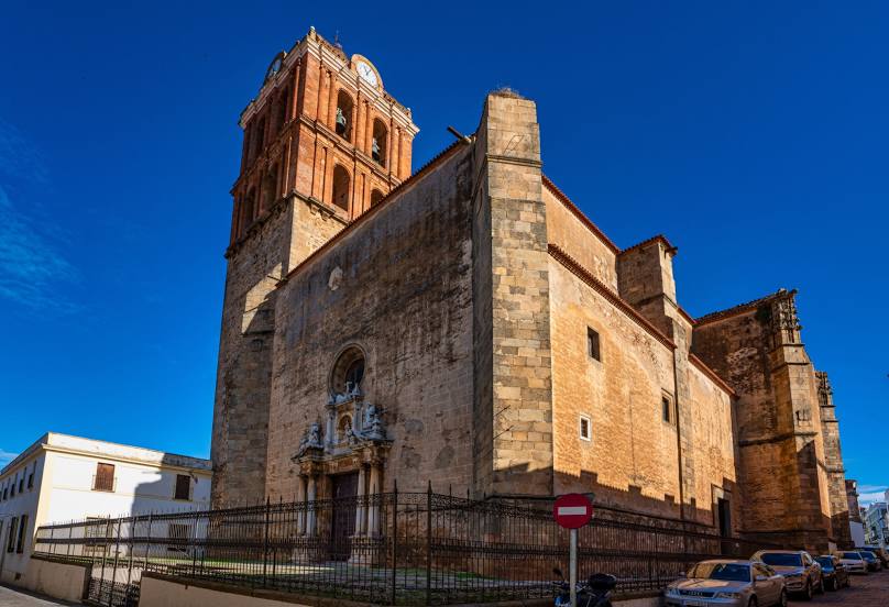
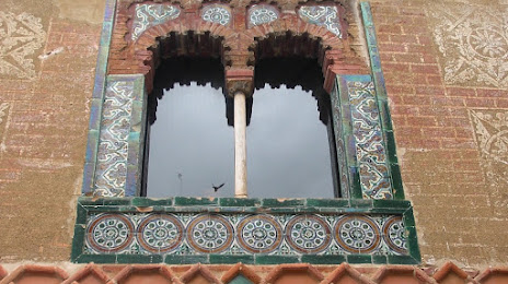
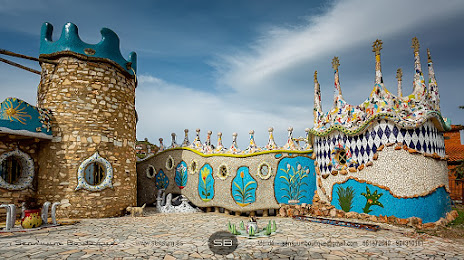
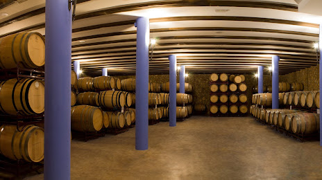
Attractions


Distance to the capital
Distance to the capital (Madrid) is about — 322 km.