
 Mejorada del Campo
Sant Jordi
Camponaraya
La Matanza de Acentejo
El Campello
Parla
Bárcena de Pie de Concha
Viveiro
Fuendetodos
Cunit
Viveros
Aoiz
Gesaltza Añana
Telde
Caravaca de la Cruz
Valentín
Pozuelo
San Bartolomé
Güimar
Mejorada del Campo
Sant Jordi
Camponaraya
La Matanza de Acentejo
El Campello
Parla
Bárcena de Pie de Concha
Viveiro
Fuendetodos
Cunit
Viveros
Aoiz
Gesaltza Añana
Telde
Caravaca de la Cruz
Valentín
Pozuelo
San Bartolomé
Güimar
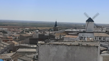
Campo de Criptana on the map, Spain
Where is located Campo de Criptana
Exact location — Campo de Criptana, Ciudad Real, Castilla-La Mancha, Spain, marked on the map with a red marker.
Coordinates
Campo de Criptana, Spain coordinates in decimal format: latitude — 39.4006055, longitude — -3.1252777. When converted to degrees, minutes, seconds Campo de Criptana has the following coordinates: 39°24′2.18 north latitude and -3°7′31 east longitude.
Population
Campo de Criptana, Ciudad Real, Castilla-La Mancha, Spain, according to our data the population is — 13,470 residents, which is about 0% of the total population of the country (Spain).
Comparison of the population on the graph:
Exact time
Time zone for this location Campo de Criptana — UTC +2 Europe/Madrid. Exact time — monday, 5 may 2024 year, 11 h. 58 minutes.
Sunrise and sunset
Campo de Criptana, sunrise and sunset data for a date — monday 13.05.2024.
| Sunrise | Sunset | Day (duration) |
|---|---|---|
| 07:03 -1 minute | 21:14 +1 minute | 14 h. 12 minutes. +2 minutes |
You can control the scale of the map using the auxiliary tools to find out exactly where it is located Campo de Criptana. When you change the scale of the map, the width of the ruler also changes (in kilometers and miles).
Nearby cities
The largest cities that are located nearby:
- Getafe — 113 km
- Fuenlabrada — 114 km
- Leganés — 116 km
- Albacete — 118 km
- Móstoles — 120 km
- Alcorcón — 120 km
- Torrejón de Ardoz — 120 km
- Alcala de Henares — 121 km
- Alcobendas — 133 km
- Jaén — 188 km
- Córdoba — 221 km
- Murcia — 233 km
- Valencia — 235 km
- Granada — 249 km
- Cartagena — 271 km
- Salamanca — 274 km
- Valladolid — 282 km
- Almería — 290 km
- Zaragoza — 310 km
Distance to neighboring capitals:
- Andorra la Vella
 (Andorra) — 521 km
 - Lisbon
 (Portugal) — 525 km
 - Rabat
 (Morocco) — 689 km
 - Paris
 (France) — 1138 km
 - Paris (France) — 1138 km
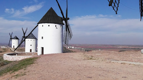
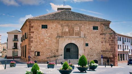
Attractions


Distance to the capital
Distance to the capital (Madrid) is about — 123 km.