
 Daimiel
Pilar de la Horadada
Jódar
Albaida
La Roza
Otxandio
Arganda del Rey
Marín
Castelldefels
Navalcarnero
San Carlos del Valle
Ribadesella
Mazarrón
Almoradí
Castropol
Balsicas
Querol
Las Torres de Cotillas
Alàs
Daimiel
Pilar de la Horadada
Jódar
Albaida
La Roza
Otxandio
Arganda del Rey
Marín
Castelldefels
Navalcarnero
San Carlos del Valle
Ribadesella
Mazarrón
Almoradí
Castropol
Balsicas
Querol
Las Torres de Cotillas
Alàs
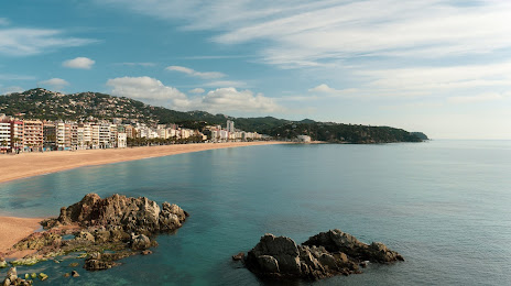
Lloret de Mar on the map, Spain
Where is located Lloret de Mar
Exact location — Lloret de Mar, Girona, Catalunya, Spain, marked on the map with a red marker.
Coordinates
Lloret de Mar, Spain coordinates in decimal format: latitude — 41.7005989, longitude — 2.8398194. When converted to degrees, minutes, seconds Lloret de Mar has the following coordinates: 41°42′2.16 north latitude and 2°50′23.35 east longitude.
Population
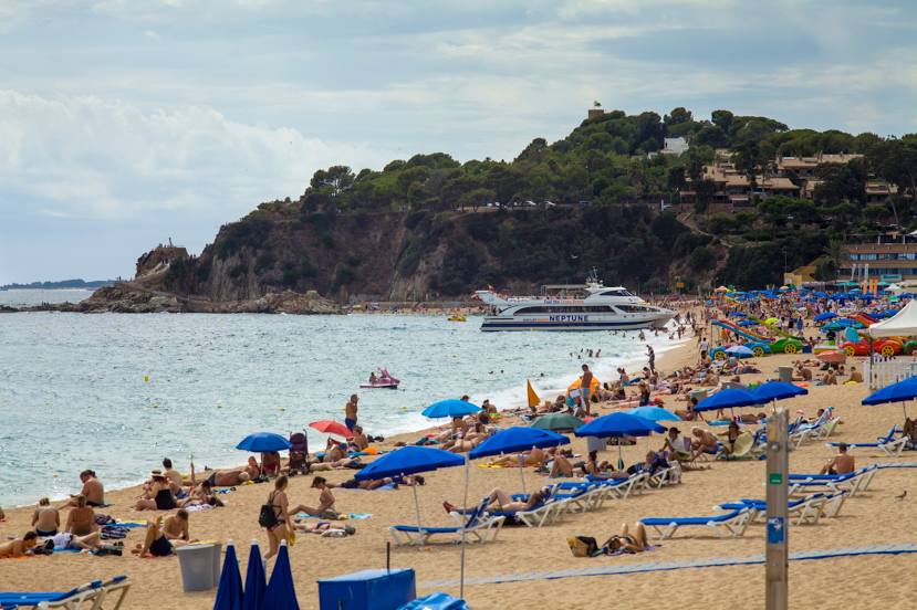
Lloret de Mar, Girona, Catalunya, Spain, according to our data the population is — 23,009 residents, which is about 0% of the total population of the country (Spain).
Comparison of the population on the graph:
Exact time
Time zone for this location Lloret de Mar — UTC +2 Europe/Madrid. Exact time — friday, 5 may 2024 year, 03 h. 42 minutes.
Sunrise and sunset
Lloret de Mar, sunrise and sunset data for a date — friday 3.05.2024.
| Sunrise | Sunset | Day (duration) |
|---|---|---|
| 06:45 -1 minute | 20:45 +1 minute | 14 h. 0 minutes. +2 minutes |
You can control the scale of the map using the auxiliary tools to find out exactly where it is located Lloret de Mar. When you change the scale of the map, the width of the ruler also changes (in kilometers and miles).
Nearby cities
The largest cities that are located nearby:
- Mataró — 37 km
- Badalona — 57 km
- Santa Coloma de Gramenet — 59 km
- Sabadell — 63 km
- Terrassa — 70 km
- L'Hospitalet de Llobregat — 70 km
- Perpignan
 (France) — 109 km
 - Tarragona — 148 km
- Lleida — 184 km
- Montpellier (France) — 227 km
- Palma — 236 km
- Toulouse (France) — 238 km
- Nimes (France) — 265 km
- Marseille (France) — 269 km
- Aix-en-Provence (France) — 291 km
- Toulon (France) — 295 km
- Zaragoza — 308 km
- Valencia — 369 km
- Pamplona — 384 km
Distance to neighboring capitals:
- Andorra la Vella
 (Andorra) — 141 km
 - Paris (France) — 797 km
- Paris (France) — 797 km
- Lisbon
 (Portugal) — 1069 km
 - Rabat
 (Morocco) — 1208 km
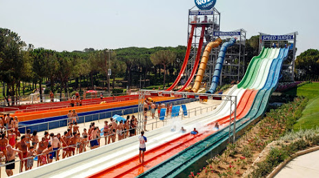
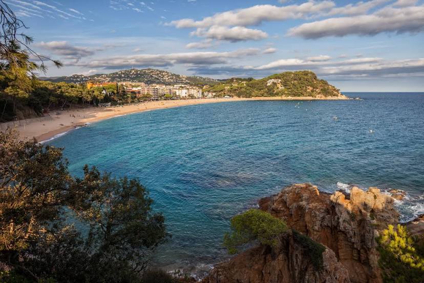
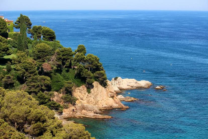
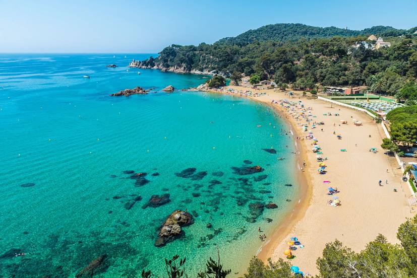
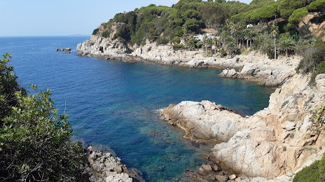
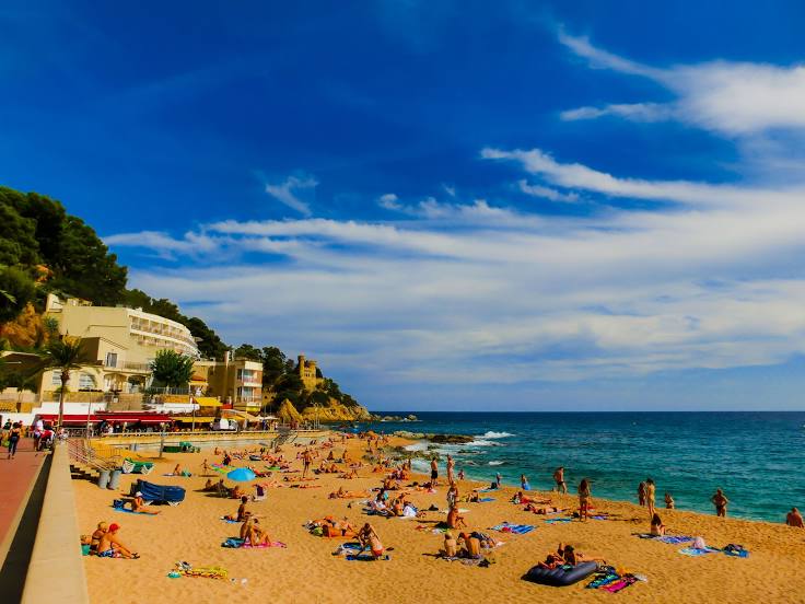
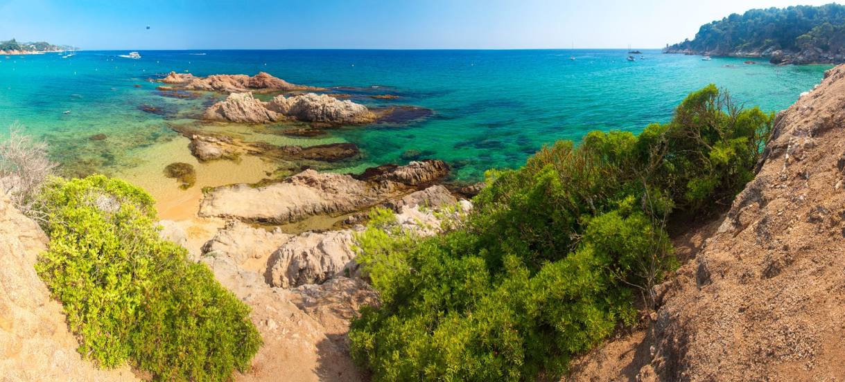
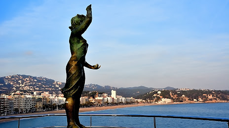
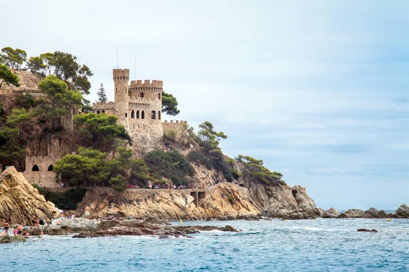
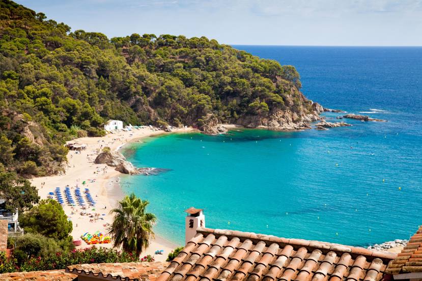
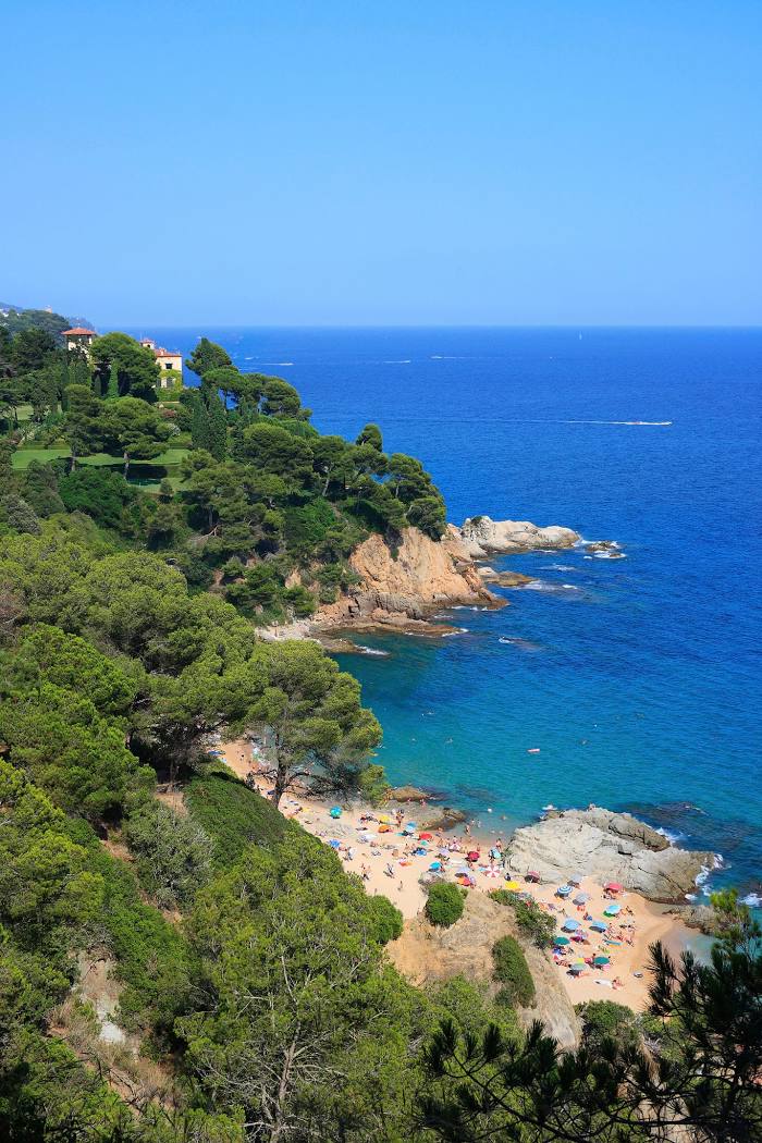
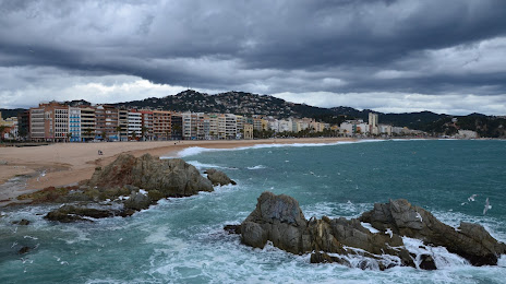
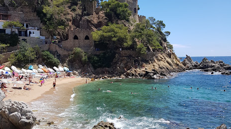
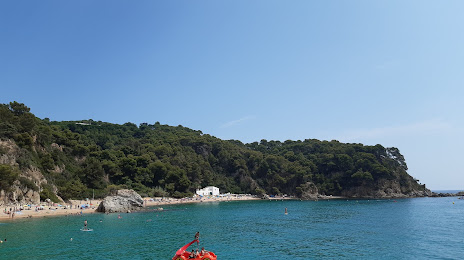
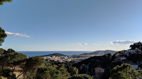
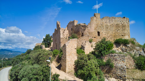
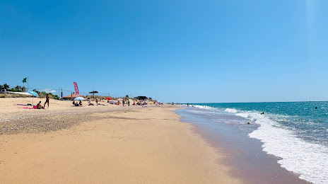
Attractions


Distance to the capital
Distance to the capital (Madrid) is about — 567 km.