
 Las Cruces
Treviño
Algaida
Astillero
Pilas
Herrera
San Francisco
Valdefuentes
Santa Pola
Collado
Ocio
Munébrega
Castelldefels
Marín
Arganda del Rey
Otxandio
La Roza
Albaida
Jódar
Las Cruces
Treviño
Algaida
Astillero
Pilas
Herrera
San Francisco
Valdefuentes
Santa Pola
Collado
Ocio
Munébrega
Castelldefels
Marín
Arganda del Rey
Otxandio
La Roza
Albaida
Jódar
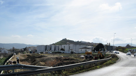
Antequera on the map, Spain
Where is located Antequera
Exact location — Antequera, Málaga, Andalucía, Spain, marked on the map with a red marker.
Coordinates
Antequera, Spain coordinates in decimal format: latitude — 37.020001, longitude — -4.5593676. When converted to degrees, minutes, seconds Antequera has the following coordinates: 37°1′12 north latitude and -4°33′33.72 east longitude.
Population
Antequera, Málaga, Andalucía, Spain, according to our data the population is — 44,464 residents, which is about 0.1% of the total population of the country (Spain).
Comparison of the population on the graph:
Exact time
Time zone for this location Antequera — UTC +2 Europe/Madrid. Exact time — thursday, 5 may 2024 year, 21 h. 11 minutes.
Sunrise and sunset
Antequera, sunrise and sunset data for a date — thursday 2.05.2024.
| Sunrise | Sunset | Day (duration) |
|---|---|---|
| 07:25 -1 minute | 21:05 +1 minute | 13 h. 42 minutes. +2 minutes |
You can control the scale of the map using the auxiliary tools to find out exactly where it is located Antequera. When you change the scale of the map, the width of the ruler also changes (in kilometers and miles).
Nearby cities
The largest cities that are located nearby:
- Málaga — 35 km
- Marbella — 63 km
- Granada — 86 km
- Córdoba — 98 km
- Jaén — 108 km
- Dos Hermanas — 124 km
- Algeciras — 126 km
- Jerez — 144 km
- Cádiz — 163 km
- Tetouan
 (Morocco) — 176 km
 - Tangier (Morocco) — 180 km
- Almería — 187 km
- Huelva — 212 km
- Nador (Morocco) — 252 km
- Taounate (Morocco) — 275 km
- Badajoz — 292 km
- Taza (Morocco) — 314 km
- Murcia — 318 km
- Albacete — 319 km
Distance to neighboring capitals:
- Rabat (Morocco) — 397 km
- Lisbon
 (Portugal) — 444 km
 - Andorra la Vella
 (Andorra) — 801 km
 - Paris
 (France) — 1430 km
 - Paris (France) — 1430 km
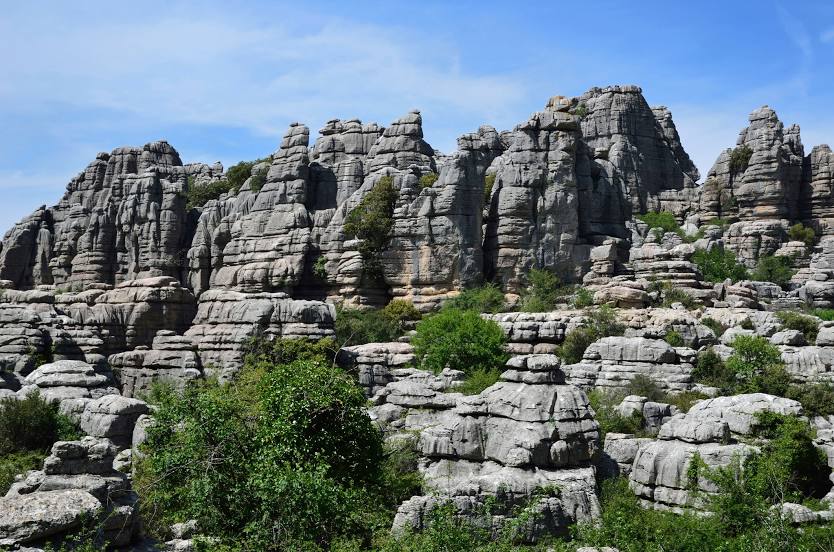
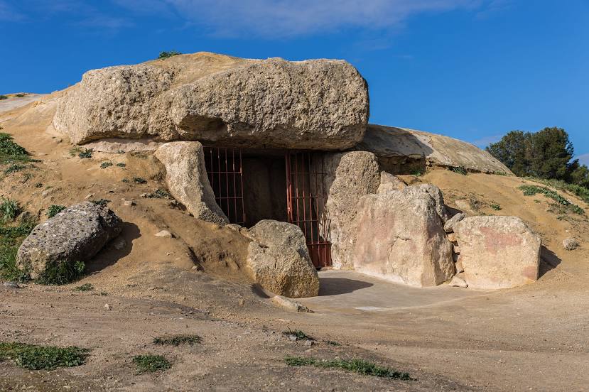
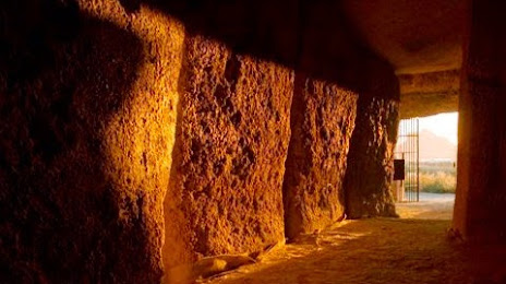
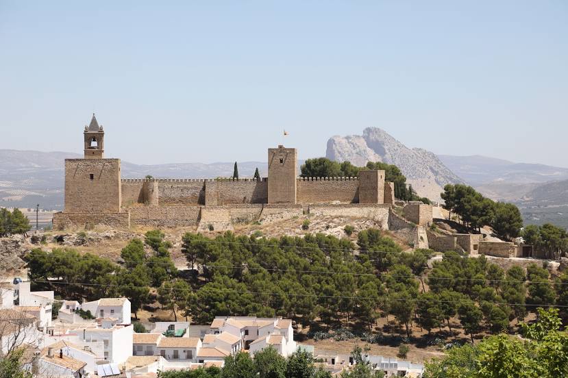
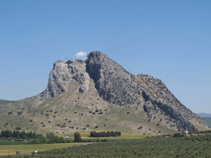
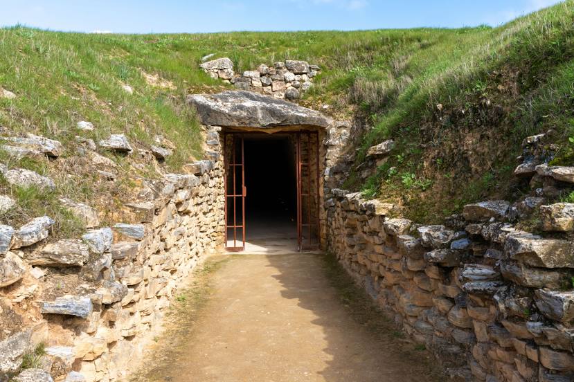
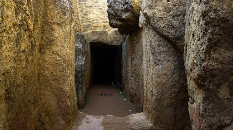
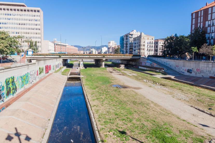
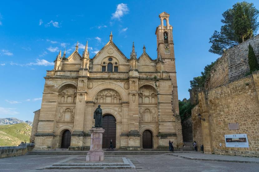
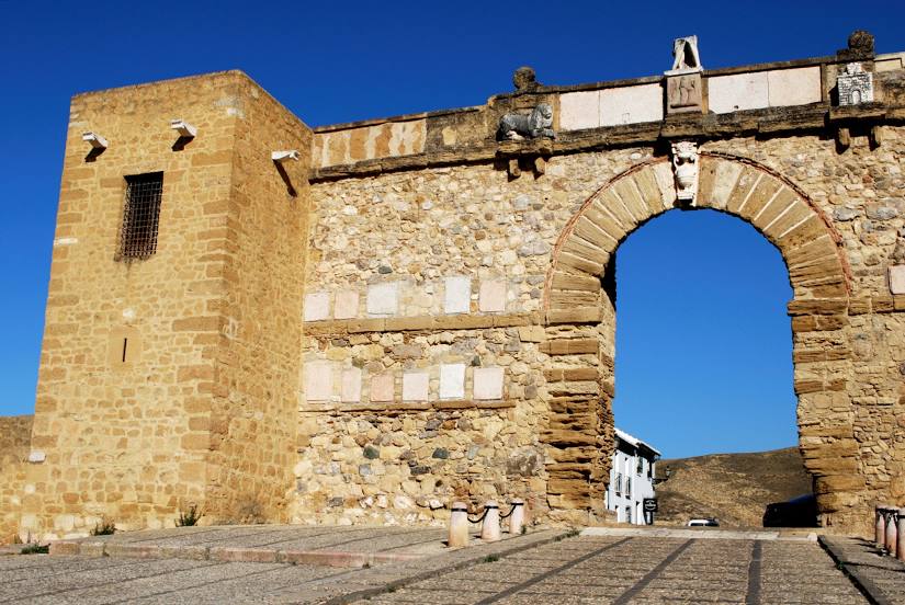
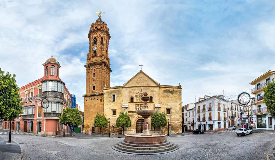
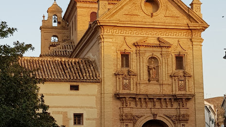
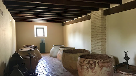
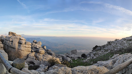
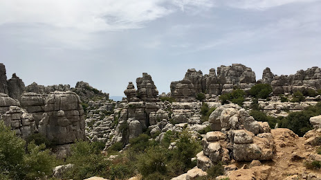
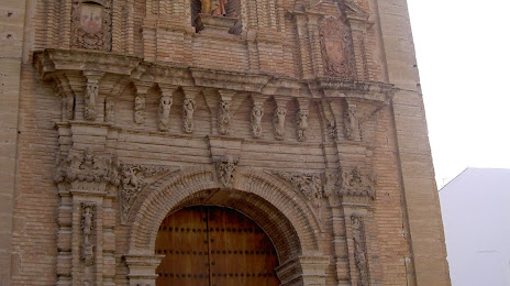
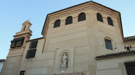
Attractions


Distance to the capital
Distance to the capital (Madrid) is about — 385 km.