
 Torrelaguna
Coria del Río
Villar del Rey
Tous
Alcañiz
Loro
Bores
Sampol
Cazalla
Abarán
Atarfe
Riba-roja de Túria
Gata de Gorgos
Azagra
Agón
Terrassa
Porto do Son
La Solana
Gibraleón
Torrelaguna
Coria del Río
Villar del Rey
Tous
Alcañiz
Loro
Bores
Sampol
Cazalla
Abarán
Atarfe
Riba-roja de Túria
Gata de Gorgos
Azagra
Agón
Terrassa
Porto do Son
La Solana
Gibraleón
Villamartín on the map, Spain
Where is located Villamartín
Exact location — Villamartín, Cádiz, Andalucía, Spain, marked on the map with a red marker.
Coordinates
Villamartín, Spain coordinates in decimal format: latitude — 36.8610112, longitude — -5.6417243. When converted to degrees, minutes, seconds Villamartín has the following coordinates: 36°51′39.64 north latitude and -5°38′30.21 east longitude.
Population
Villamartín, Cádiz, Andalucía, Spain, according to our data the population is — 12,342 residents, which is about 0% of the total population of the country (Spain).
Comparison of the population on the graph:
Exact time
Time zone for this location Villamartín — UTC +2 Europe/Madrid. Exact time — wednesday, 5 may 2024 year, 22 h. 18 minutes.
Sunrise and sunset
Villamartín, sunrise and sunset data for a date — wednesday 15.05.2024.
| Sunrise | Sunset | Day (duration) |
|---|---|---|
| 07:17 -1 minute | 21:20 +1 minute | 14 h. 6 minutes. +2 minutes |
You can control the scale of the map using the auxiliary tools to find out exactly where it is located Villamartín. When you change the scale of the map, the width of the ruler also changes (in kilometers and miles).
Nearby cities
The largest cities that are located nearby:
- Jerez — 47 km
- Dos Hermanas — 53 km
- Cádiz — 68 km
- Marbella — 78 km
- Algeciras — 81 km
- Málaga — 105 km
- Huelva — 123 km
- Tangier
 (Morocco) — 123 km
 - Córdoba — 136 km
- Tetouan (Morocco) — 145 km
- Granada — 183 km
- Jaén — 191 km
- Badajoz — 251 km
- Taounate (Morocco) — 273 km
- Almería — 281 km
- Kenitra (Morocco) — 301 km
- Nador (Morocco) — 308 km
- Taza (Morocco) — 328 km
- Meknes (Morocco) — 328 km
Distance to neighboring capitals:
- Rabat (Morocco) — 340 km
- Lisbon
 (Portugal) — 371 km
 - Andorra la Vella
 (Andorra) — 877 km
 - Paris
 (France) — 1483 km
 - Paris (France) — 1483 km
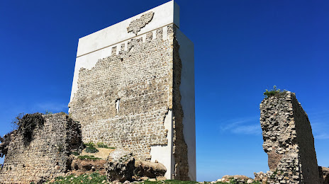
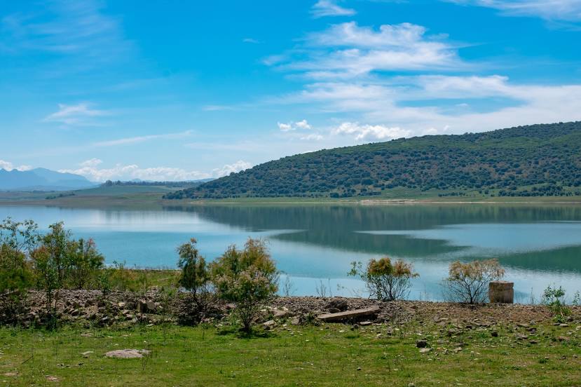
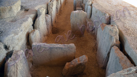
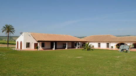
Attractions

Distance to the capital
Distance to the capital (Madrid) is about — 430 km.