Ponte Nova — Viadutos
Ponte Nova — Itaperuçu
Ponte Nova — São Borja
Ponte Nova — Ipu
Ponte Nova — Florianópolis
Ponte Nova — Jacutinga
Ponte Nova — São João da Barra
Ponte Nova — Bagé
Ponte Nova — Aroeiras
Ponte Nova — Pinhalzinho
Ponte Nova — Garapuava
Ponte Nova — Pompéia
Ponte Nova — Rio Grande
Ponte Nova — São Sebastião do Caí
Ponte Nova — Morungaba
Ponte Nova — Apiaí
Ponte Nova — Lajeado
Ponte Nova — Magda
Ponte Nova — Frei Gaspar
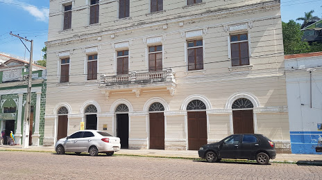
Ouro Preto
Ouro Preto
Itabirito
Barreiro
Contagem
Betim
Juatuba
Mateus Leme
Itaúna
Divinópolis
Formiga
Capitolio
Passos
Capetinga
Patrocínio Paulista
Franca
São Joaquim da Barra
São Joaquim da Barra
Barretos
Olímpia
Sao Jose de Rio Preto
Mirassol
Neves Paulista
Monte Aprazível
Poloni
Floreal
Magda
General Salgado
Sud Mennucci
Pereira Barreto
Andradina
Castilho
Três Lagoas
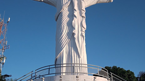
Campo Grande
Campo Grande International Airport
Caioba Portal
Terenos
Anastácio
Miranda
Paratudal
Ladário
Ponte Nova — Viadutos
Ponte Nova — Itaperuçu
Ponte Nova — São Borja
Ponte Nova — Ipu
Ponte Nova — Florianópolis
Ponte Nova — Jacutinga
Ponte Nova — São João da Barra
Ponte Nova — Bagé
Ponte Nova — Aroeiras
Ponte Nova — Pinhalzinho
Ponte Nova — Garapuava
Ponte Nova — Pompéia
Ponte Nova — Rio Grande
Ponte Nova — São Sebastião do Caí
Ponte Nova — Morungaba
Ponte Nova — Apiaí
Ponte Nova — Lajeado
Ponte Nova — Magda
Ponte Nova — Frei Gaspar
Ouro Preto
Ouro Preto
Itabirito
Barreiro
Contagem
Betim
Juatuba
Mateus Leme
Itaúna
Divinópolis
Formiga
Capitolio
Passos
Capetinga
Patrocínio Paulista
Franca
São Joaquim da Barra
São Joaquim da Barra
Barretos
Olímpia
Sao Jose de Rio Preto
Mirassol
Neves Paulista
Monte Aprazível
Poloni
Floreal
Magda
General Salgado
Sud Mennucci
Pereira Barreto
Andradina
Castilho
Três Lagoas
Campo Grande
Campo Grande International Airport
Caioba Portal
Terenos
Anastácio
Miranda
Paratudal
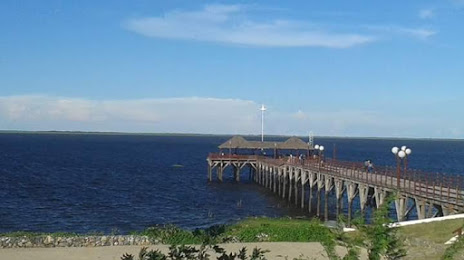
Ladário
Ponte Nova — Corumbá distance, route on the map
Distance by car
Distance between Ponte Nova, Minas Gerais, Brazil and Corumbá, Mato Grosso do Sul, Brazil by car is — km, or miles. To travel this distance by car, you need minute, or h.
Route on the map, driving directions
Car route Ponte Nova — Corumbá was created automatically. The road on the map is shown as a blue line. By moving the markers, you can create a new route through the points you need.
Passing cities through which the car route passes: Mariana, Ouro Preto, Ouro Preto, Itabirito, Barreiro, Contagem, Betim, Juatuba, Mateus Leme, Itaúna, Divinópolis, Formiga, Capitolio, Passos, Capetinga, Patrocínio Paulista, Franca, São Joaquim da Barra, São Joaquim da Barra, Barretos, Olímpia, Sao Jose de Rio Preto, Mirassol, Neves Paulista, Monte Aprazível, Poloni, Floreal, Magda, General Salgado, Sud Mennucci, Pereira Barreto, Andradina, Castilho, Três Lagoas, Campo Grande, Campo Grande International Airport, Caioba Portal, Terenos, Anastácio, Miranda, Paratudal, Ladário.
Distance by plane
If you decide to take a trip Ponte Nova Corumbá by plane, then you have to fly the distance — 1552 km or 962 miles. It is marked on the map with a gray line (between two points in a straight line).
Flight time
Estimated flight time Ponte Nova Corumbá by plane at cruising speed 750 km / h will be — 2 h. and 4 min.
Direction of movement
Brazil, Ponte Nova — right-hand traffic. Brazil, Corumbá — right-hand traffic.
Difference in time
Ponte Nova and Corumbá are in different time zones. The time difference is 1 hour (UTC -3 America/Sao_Paulo, UTC -4 America/Campo_Grande).
Interesting Facts
Information on alternative ways to get to your destination.
The length of this distance is about 3.9% of the total length of the equator.
The percentage of the population is clearly shown in the graph:
Ponte Nova — 48,188 (less by 48,335), Corumbá — 96,523 residents.
The cost of travel
Calculate the cost of the trip yourself using the fuel consumption calculator, changing the data in the table.