
 Alcañiz
Loro
Bores
Sampol
Cazalla
Sant Lluís
Valverde del Camino
Vilamalla
Buñuel
Astillero
Algaida
Treviño
Las Cruces
Abarán
Atarfe
Riba-roja de Túria
Gata de Gorgos
Azagra
Agón
Alcañiz
Loro
Bores
Sampol
Cazalla
Sant Lluís
Valverde del Camino
Vilamalla
Buñuel
Astillero
Algaida
Treviño
Las Cruces
Abarán
Atarfe
Riba-roja de Túria
Gata de Gorgos
Azagra
Agón
Jaca on the map, Spain
Where is located Jaca
Exact location — Jaca, Huesca, Aragón, Spain, marked on the map with a red marker.
Coordinates
Jaca, Spain coordinates in decimal format: latitude — 42.5717166, longitude — -0.5470554. When converted to degrees, minutes, seconds Jaca has the following coordinates: 42°34′18.18 north latitude and -0°32′49.4 east longitude.
Population
Jaca, Huesca, Aragón, Spain, according to our data the population is — 11,811 residents, which is about 0% of the total population of the country (Spain).
Comparison of the population on the graph:
Exact time
Time zone for this location Jaca — UTC +2 Europe/Madrid. Exact time — tuesday, 5 may 2024 year, 02 h. 37 minutes.
Sunrise and sunset
Jaca, sunrise and sunset data for a date — tuesday 14.05.2024.
| Sunrise | Sunset | Day (duration) |
|---|---|---|
| 06:43 -2 minutes | 21:13 +1 minute | 14 h. 30 minutes. +3 minutes |
You can control the scale of the map using the auxiliary tools to find out exactly where it is located Jaca. When you change the scale of the map, the width of the ruler also changes (in kilometers and miles).
Nearby cities
The largest cities that are located nearby:
- Pamplona — 93 km
- Zaragoza — 106 km
- San Sebastián — 142 km
- Lleida — 143 km
- Logroño — 155 km
- Vitoria-Gasteiz — 176 km
- Toulouse
 (France) — 196 km
 - Bilbao — 207 km
- Tarragona — 219 km
- Terrassa — 239 km
- Sabadell — 247 km
- Bordeaux (France) — 251 km
- L'Hospitalet de Llobregat — 258 km
- Burgos — 259 km
- Santa Coloma de Gramenet — 260 km
- Badalona — 263 km
- Mataró — 273 km
- Santander — 280 km
- Perpignan (France) — 280 km
Distance to neighboring capitals:
- Andorra la Vella
 (Andorra) — 170 km
 - Paris (France) — 734 km
- Paris (France) — 734 km
- Lisbon
 (Portugal) — 841 km
 - Rabat
 (Morocco) — 1103 km
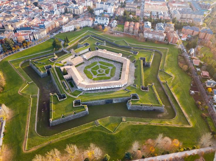
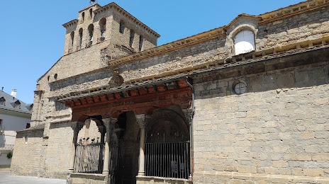
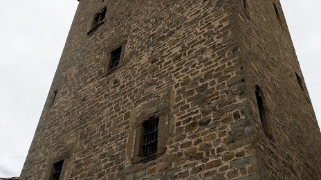
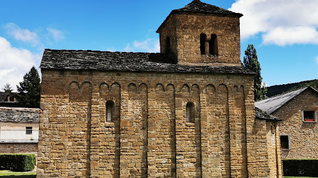
Attractions

Distance to the capital
Distance to the capital (Madrid) is about — 356 km.