Eastern Oregon Regional Airport at Pendleton — Dumas
Eastern Oregon Regional Airport at Pendleton — Richmond Dale
Eastern Oregon Regional Airport at Pendleton — Ben Franklin
Eastern Oregon Regional Airport at Pendleton — Fiatt
Eastern Oregon Regional Airport at Pendleton — Rock River
Eastern Oregon Regional Airport at Pendleton — Bellevue
Eastern Oregon Regional Airport at Pendleton — Olin
Eastern Oregon Regional Airport at Pendleton — Hysham
Eastern Oregon Regional Airport at Pendleton — Woodway
Eastern Oregon Regional Airport at Pendleton — Reserve
Eastern Oregon Regional Airport at Pendleton — Agua Dulce
Eastern Oregon Regional Airport at Pendleton — Alabama
Eastern Oregon Regional Airport at Pendleton — Jacksonville
Eastern Oregon Regional Airport at Pendleton — Stratton
Eastern Oregon Regional Airport at Pendleton — Cabazon
Eastern Oregon Regional Airport at Pendleton — Ontario
Eastern Oregon Regional Airport at Pendleton — Catawissa
Eastern Oregon Regional Airport at Pendleton — Fort Klamath
Eastern Oregon Regional Airport at Pendleton — Villa Pancho
See how the reverse distance goes.
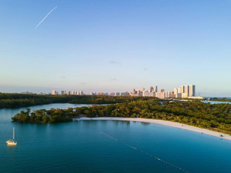
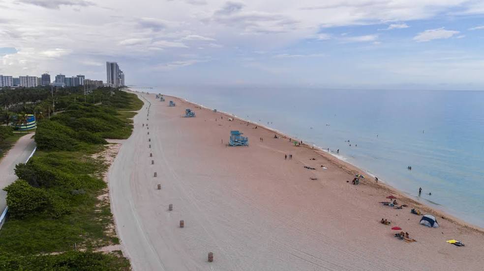
Sunny Isles Beach — Eastern Oregon Regional Airport at PendletonEastern Oregon Regional Airport at Pendleton — Sunny Isles Beach distance, route on the map
Distance by car
Distance between Eastern Oregon Regional Airport at Pendleton, Oregon, United States and Sunny Isles Beach, Florida, United States by car is — km, or miles. To travel this distance by car, you need minute, or h.
Route on the map, driving directions
Car route Eastern Oregon Regional Airport at Pendleton — Sunny Isles Beach was created automatically. The road on the map is shown as a blue line. By moving the markers, you can create a new route through the points you need.
Distance by plane
If you decide to take a trip Eastern Oregon Regional Airport at Pendleton Sunny Isles Beach by plane, then you have to fly the distance — 4067 km or 2522 miles. It is marked on the map with a gray line (between two points in a straight line).
Flight time
Estimated flight time Eastern Oregon Regional Airport at Pendleton Sunny Isles Beach by plane at cruising speed 750 km / h will be — 5 h. and 25 min.
Direction of movement
United States, Eastern Oregon Regional Airport at Pendleton — right-hand traffic. United States, Sunny Isles Beach — right-hand traffic.
Difference in time
Eastern Oregon Regional Airport at Pendleton and Sunny Isles Beach are in different time zones. The time difference is 3 hours (UTC -7 America/Los_Angeles, UTC -4 America/New_York).
Interesting Facts
Information on alternative ways to get to your destination.
The length of this distance is about 10.1% of the total length of the equator.
The cost of travel
Calculate the cost of the trip yourself using the fuel consumption calculator, changing the data in the table.