Rio das Pedras — Viamão
Rio das Pedras — Sabará
Rio das Pedras — Cáceres
Rio das Pedras — Toledo
Rio das Pedras — Cujubim
Rio das Pedras — Santa Mariana
Rio das Pedras — Senador Pompeu
Rio das Pedras — Santa Maria
Rio das Pedras — Minas Gerais
Rio das Pedras — Paranacity
Rio das Pedras — Portão
Rio das Pedras — Taquara
Rio das Pedras — Palmas
Rio das Pedras — Campo Bonito
Rio das Pedras — São Sebastião da Amoreira
Rio das Pedras — Reserva
Rio das Pedras — Monte Alegre de Minas
Rio das Pedras — Cedro
Rio das Pedras — Santa Gertrudes
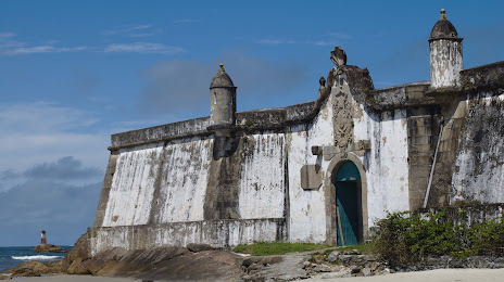
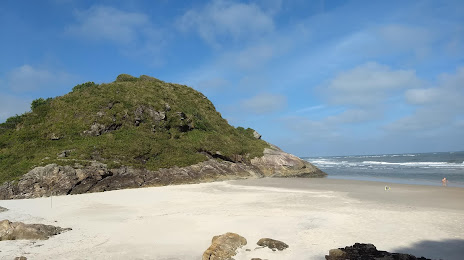
Rio das Pedras — Paranaguá distance, route on the map
Distance by car
Distance between Rio das Pedras, São Paulo, Brazil and Paranaguá, Paraná, Brazil by car is — km, or miles. To travel this distance by car, you need minute, or h.
Route on the map, driving directions
Car route Rio das Pedras — Paranaguá was created automatically. The road on the map is shown as a blue line. By moving the markers, you can create a new route through the points you need.
Passing cities through which the car route passes: Elias Fausto, Salto, Itu, Itu, Sorocaba, Votorantim, Piedade, Registro, Cajati, Morretes.
Distance by plane
If you decide to take a trip Rio das Pedras Paranaguá by plane, then you have to fly the distance — 312 km or 193 miles. It is marked on the map with a gray line (between two points in a straight line).
Flight time
Estimated flight time Rio das Pedras Paranaguá by plane at cruising speed 750 km / h will be — 24 min.
Direction of movement
Brazil, Rio das Pedras — right-hand traffic. Brazil, Paranaguá — right-hand traffic.
Difference in time
Rio das Pedras and Paranaguá are in the same time zone. Between them there is no time difference (UTC -3 America/Sao_Paulo).
Interesting Facts
Information on alternative ways to get to your destination.
The length of this distance is about 0.8% of the total length of the equator.
The percentage of the population is clearly shown in the graph:
Rio das Pedras — 23,722 (less by 117,291), Paranaguá — 141,013 residents.
The cost of travel
Calculate the cost of the trip yourself using the fuel consumption calculator, changing the data in the table.