Łabiszyn — Łętowo
Łabiszyn — Glinka
Łabiszyn — Rawica Nowa
Łabiszyn — Złoty Stok
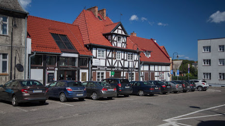
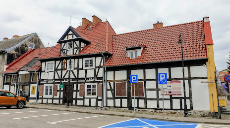
Łabiszyn — Wejherowo
Łabiszyn — Stankuny
Łabiszyn — Cegłów
Łabiszyn — Gdańsk
Łabiszyn — Mała Nieszawka
Łabiszyn — Godów
Łabiszyn — Polska Wieś
Łabiszyn — Kozy
Łabiszyn — Gmina Połczyn-Zdrój
Łabiszyn — Sztabin
Łabiszyn — Topole
Łabiszyn — Krościenko
Łabiszyn — Jałowice
Łabiszyn — Złoczew
Łabiszyn — Liniewo
Łabiszyn — Łętowo
Łabiszyn — Glinka
Łabiszyn — Rawica Nowa
Łabiszyn — Złoty Stok
Łabiszyn — Wejherowo
Łabiszyn — Stankuny
Łabiszyn — Cegłów
Łabiszyn — Gdańsk
Łabiszyn — Mała Nieszawka
Łabiszyn — Godów
Łabiszyn — Polska Wieś
Łabiszyn — Kozy
Łabiszyn — Gmina Połczyn-Zdrój
Łabiszyn — Sztabin
Łabiszyn — Topole
Łabiszyn — Krościenko
Łabiszyn — Jałowice
Łabiszyn — Złoczew
Łabiszyn — Liniewo
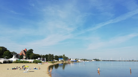
Łabiszyn — Puck distance, route on the map
Distance by car
Distance between Łabiszyn, Kuyavian-Pomeranian Voivodeship, Poland and Puck, Pomeranian Voivodeship, Poland by car is — km, or miles. To travel this distance by car, you need minute, or h.
Route on the map, driving directions
Car route Łabiszyn — Puck was created automatically. The road on the map is shown as a blue line. By moving the markers, you can create a new route through the points you need.
Distance by plane
If you decide to take a trip Łabiszyn Puck by plane, then you have to fly the distance — 199 km or 123 miles. It is marked on the map with a gray line (between two points in a straight line).
Flight time
Estimated flight time Łabiszyn Puck by plane at cruising speed 750 km / h will be — 15 min.
Direction of movement
Poland, Łabiszyn — right-hand traffic. Poland, Puck — right-hand traffic.
Difference in time
Łabiszyn and Puck are in the same time zone. Between them there is no time difference (UTC +2 Europe/Warsaw).
Interesting Facts
Information on alternative ways to get to your destination.
The length of this distance is about 0.5% of the total length of the equator.
The percentage of the population is clearly shown in the graph:
Łabiszyn — 4,454 (less by 6,961), Puck — 11,415 residents.
The cost of travel
Calculate the cost of the trip yourself using the fuel consumption calculator, changing the data in the table.