Parintins — Paraíso do Norte
Parintins — Varjota
Parintins — Bairro Novo
Parintins — Grande
Parintins — Federal District
Parintins — Poconé
Parintins — Pato Branco
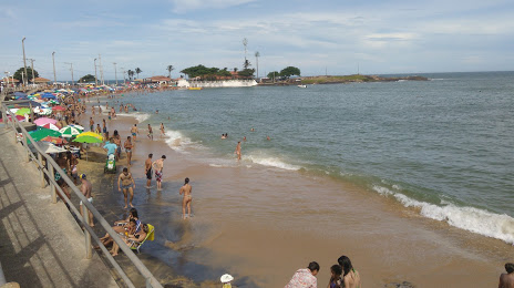
Parintins — Rio Novo do Sul
Parintins — Cordilheira
Parintins — Jaboticatubas
Parintins — Ribeirão Claro
Parintins — Day
Parintins — Esmeraldas
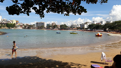
Parintins — Maragogipe
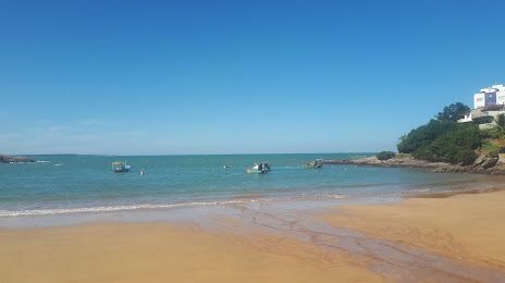
Parintins — Rio Piracicaba
Parintins — Conselheiro Mairinck
Parintins — Santa Gertrudes
Parintins — Gramado
Parintins — Matelândia
Parintins — Paraíso do Norte
Parintins — Varjota
Parintins — Bairro Novo
Parintins — Grande
Parintins — Federal District
Parintins — Poconé
Parintins — Pato Branco
Parintins — Rio Novo do Sul
Parintins — Cordilheira
Parintins — Jaboticatubas
Parintins — Ribeirão Claro
Parintins — Day
Parintins — Esmeraldas
Parintins — Maragogipe
Parintins — Rio Piracicaba
Parintins — Conselheiro Mairinck
Parintins — Santa Gertrudes
Parintins — Gramado
Parintins — Matelândia
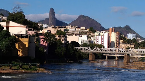
Parintins — Itapemirim distance, route on the map
Distance by car
Distance between Parintins, Amazonas, Brazil and Itapemirim, Espírito Santo, Brazil by car is — km, or miles. To travel this distance by car, you need minute, or h.
Route on the map, driving directions
Car route Parintins — Itapemirim was created automatically. The road on the map is shown as a blue line. By moving the markers, you can create a new route through the points you need.
Distance by plane
If you decide to take a trip Parintins Itapemirim by plane, then you have to fly the distance — 2672 km or 1657 miles. It is marked on the map with a gray line (between two points in a straight line).
Flight time
Estimated flight time Parintins Itapemirim by plane at cruising speed 750 km / h will be — 3 h. and 33 min.
Direction of movement
Brazil, Parintins — right-hand traffic. Brazil, Itapemirim — right-hand traffic.
Difference in time
Parintins and Itapemirim are in different time zones. The time difference is 1 hour (UTC -4 America/Boa_Vista, UTC -3 America/Sao_Paulo).
Interesting Facts
Information on alternative ways to get to your destination.
The length of this distance is about 6.7% of the total length of the equator.
The percentage of the population is clearly shown in the graph:
Parintins — 64,429, Itapemirim — 17,536 residents (less by 46,893).
The cost of travel
Calculate the cost of the trip yourself using the fuel consumption calculator, changing the data in the table.