
 Pedrera
La Vila Joiosa/Villajoyosa
Castriḷḷón
Cumbres Mayores
La Encina
Huércal-Overa
Orbita
Marchena
Callosa de Segura
Mieres del Camino
Moriscos
Campuzano
Cristina
Biure
Villacadima
Pradales
Ólvega
Loja
Hornillos de Cameros
Pedrera
La Vila Joiosa/Villajoyosa
Castriḷḷón
Cumbres Mayores
La Encina
Huércal-Overa
Orbita
Marchena
Callosa de Segura
Mieres del Camino
Moriscos
Campuzano
Cristina
Biure
Villacadima
Pradales
Ólvega
Loja
Hornillos de Cameros
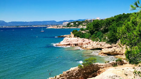
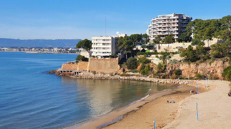
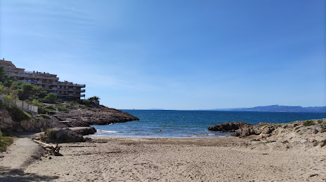
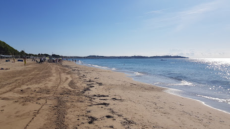
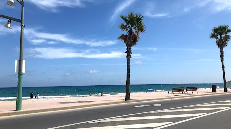
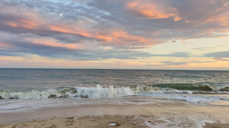
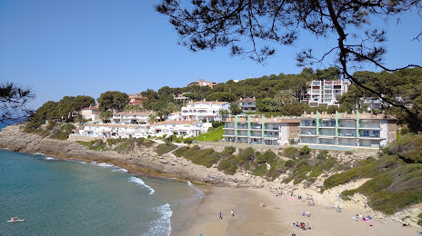
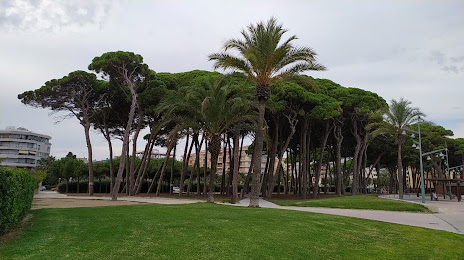
Salou on the map, Spain
Where is located Salou
Exact location — Salou, Tarragona, Catalunya, Spain, marked on the map with a red marker.
Coordinates
Salou, Spain coordinates in decimal format: latitude — 41.0777581, longitude — 1.1315203. When converted to degrees, minutes, seconds Salou has the following coordinates: 41°4′39.93 north latitude and 1°7′53.47 east longitude.
Population
Salou, Tarragona, Catalunya, Spain, according to our data the population is — 16,075 residents, which is about 0% of the total population of the country (Spain).
Comparison of the population on the graph:
Exact time
Time zone for this location Salou — UTC +2 Europe/Madrid. Exact time — friday, 5 may 2024 year, 10 h. 21 minute.
Sunrise and sunset
Salou, sunrise and sunset data for a date — friday 10.05.2024.
| Sunrise | Sunset | Day (duration) |
|---|---|---|
| 06:45 -1 minute | 20:58 +1 minute | 14 h. 12 minutes. +2 minutes |
You can control the scale of the map using the auxiliary tools to find out exactly where it is located Salou. When you change the scale of the map, the width of the ruler also changes (in kilometers and miles).
Nearby cities
The largest cities that are located nearby:
- Tarragona — 10 km
- Lleida — 73 km
- L'Hospitalet de Llobregat — 88 km
- Terrassa — 90 km
- Sabadell — 96 km
- Santa Coloma de Gramenet — 98 km
- Badalona — 101 km
- Mataró — 120 km
- Zaragoza — 178 km
- Palma — 211 km
- Valencia — 219 km
- Perpignan
 (France) — 229 km
 - Toulouse (France) — 280 km
- Pamplona — 296 km
- Logroño — 329 km
- Albacete — 345 km
- San Sebastián — 352 km
- Montpellier (France) — 356 km
- Vitoria-Gasteiz — 366 km
Distance to neighboring capitals:
- Andorra la Vella
 (Andorra) — 162 km
 - Paris (France) — 870 km
- Paris (France) — 870 km
- Lisbon
 (Portugal) — 914 km
 - Rabat
 (Morocco) — 1058 km
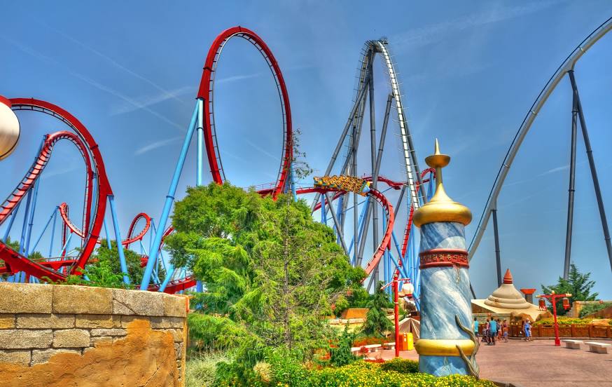
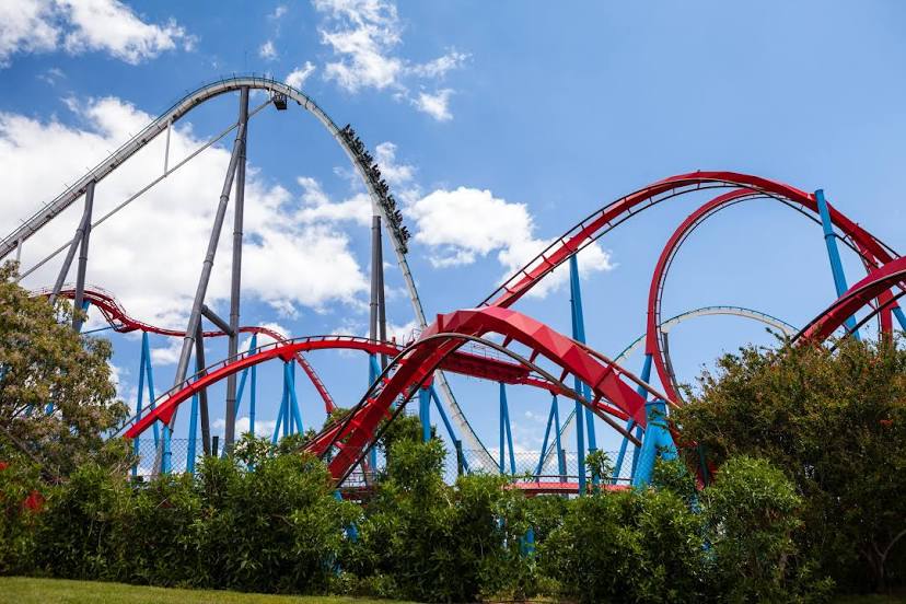
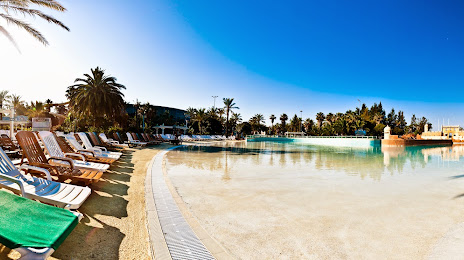
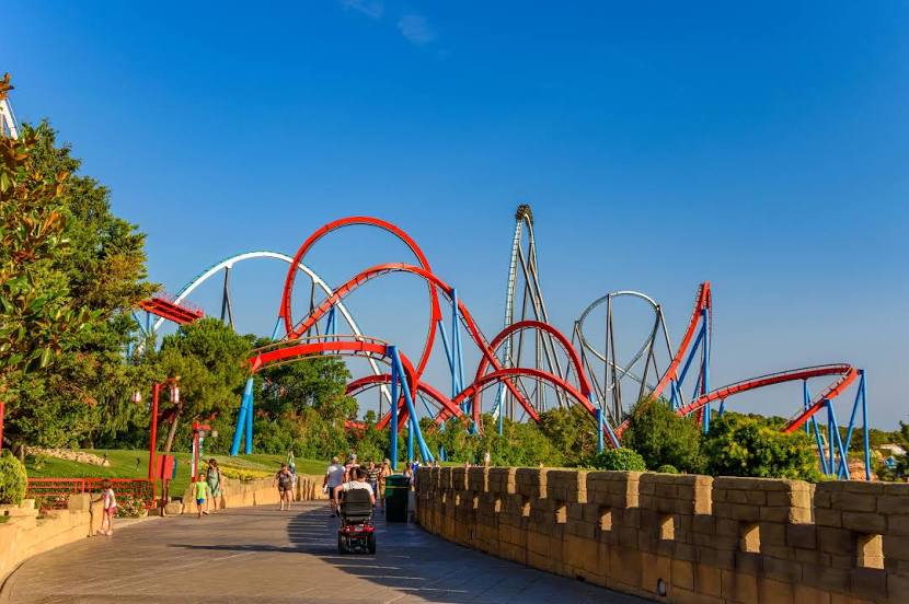
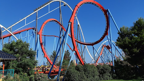
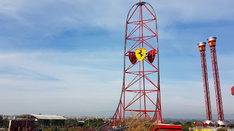
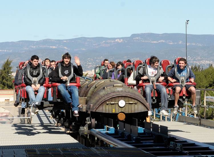
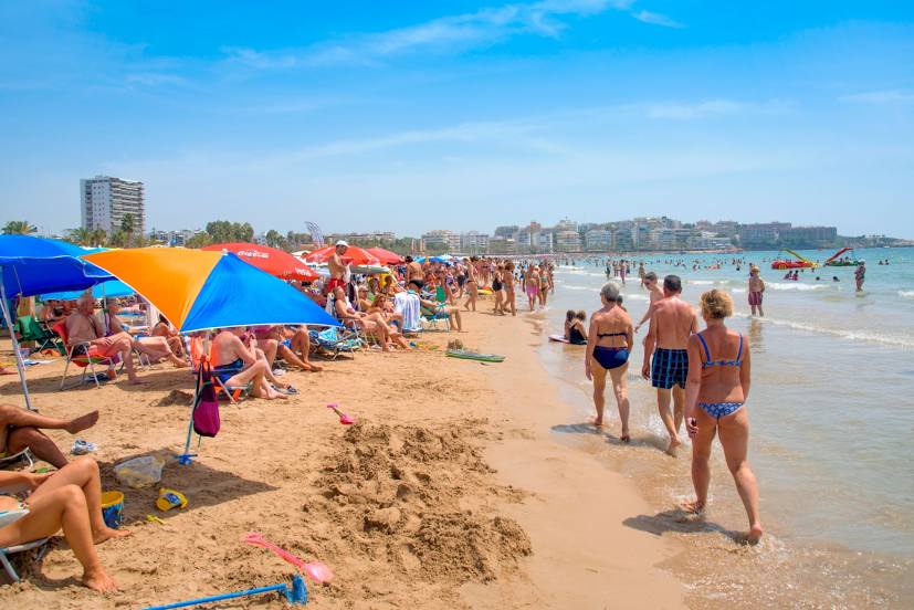
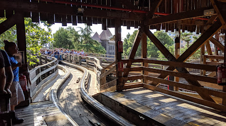
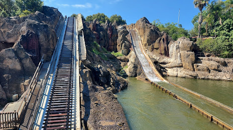
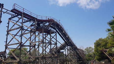
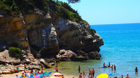
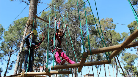
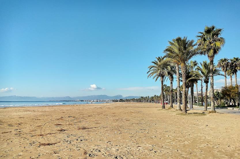
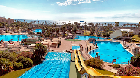
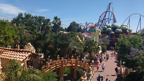
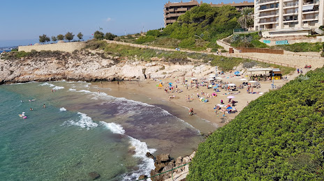
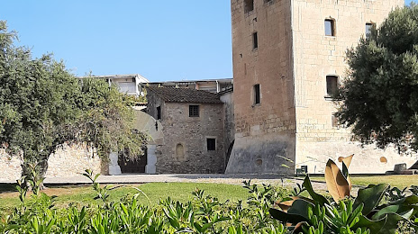
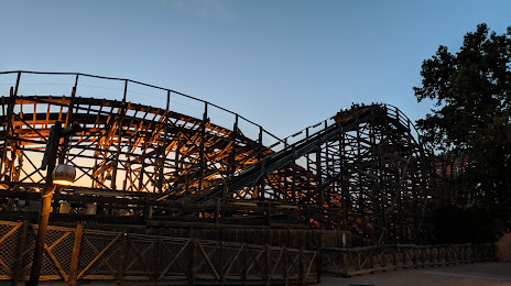
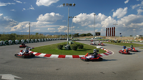
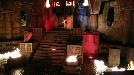
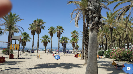
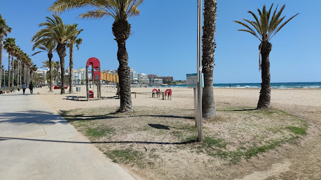
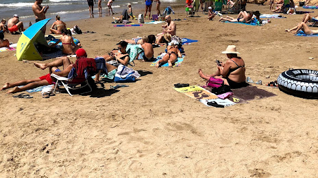
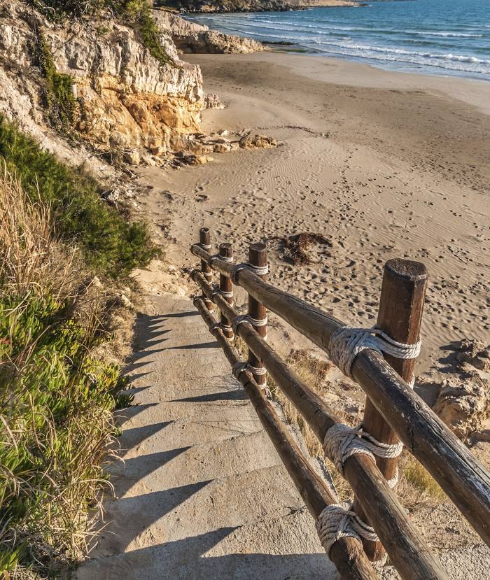
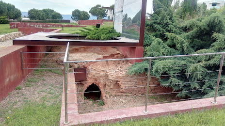
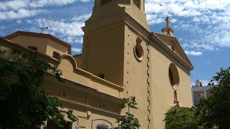
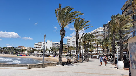
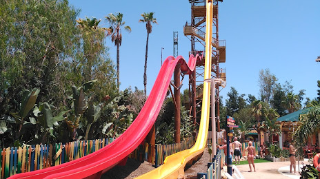
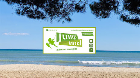
Attractions


Distance to the capital
Distance to the capital (Madrid) is about — 414 km.