
 Morella
Villava
Igualada
San Esteban de Gormaz
Morón de la Frontera
Cazorla
Bolvir
Salou
Ciempozuelos
Ayora
Cabó
Rasines
San Lorenzo de El Escorial
Mollina
L'Ametlla de Mar
Canals
Burgelu
Trapagaran
Hormigos
Morella
Villava
Igualada
San Esteban de Gormaz
Morón de la Frontera
Cazorla
Bolvir
Salou
Ciempozuelos
Ayora
Cabó
Rasines
San Lorenzo de El Escorial
Mollina
L'Ametlla de Mar
Canals
Burgelu
Trapagaran
Hormigos
Loja on the map, Spain
Where is located Loja
Exact location — Loja, Granada, Andalucía, Spain, marked on the map with a red marker.
Coordinates
Loja, Spain coordinates in decimal format: latitude — 37.1661897, longitude — -4.149075. When converted to degrees, minutes, seconds Loja has the following coordinates: 37°9′58.28 north latitude and -4°8′56.67 east longitude.
Population
Loja, Granada, Andalucía, Spain, according to our data the population is — 20,750 residents, which is about 0% of the total population of the country (Spain).
Comparison of the population on the graph:
Exact time
Time zone for this location Loja — UTC +2 Europe/Madrid. Exact time — sunday, 4 april 2024 year, 02 h. 50 minutes.
Sunrise and sunset
Loja, sunrise and sunset data for a date — sunday 28.04.2024.
| Sunrise | Sunset | Day (duration) |
|---|---|---|
| 07:27 -1 minute | 21:00 +1 minute | 13 h. 36 minutes. +2 minutes |
You can control the scale of the map using the auxiliary tools to find out exactly where it is located Loja. When you change the scale of the map, the width of the ruler also changes (in kilometers and miles).
Nearby cities
The largest cities that are located nearby:
- Granada — 49 km
- Málaga — 55 km
- Jaén — 75 km
- Córdoba — 97 km
- Marbella — 98 km
- Almería — 154 km
- Dos Hermanas — 157 km
- Algeciras — 163 km
- Jerez — 183 km
- Cádiz — 203 km
- Tetouan
 (Morocco) — 208 km
 - Tangier (Morocco) — 217 km
- Huelva — 246 km
- Nador (Morocco) — 247 km
- Murcia — 278 km
- Cartagena — 281 km
- Albacete — 282 km
- Taounate (Morocco) — 294 km
- Badajoz — 308 km
Distance to neighboring capitals:
- Rabat (Morocco) — 431 km
- Lisbon
 (Portugal) — 471 km
 - Andorra la Vella
 (Andorra) — 766 km
 - Paris
 (France) — 1402 km
 - Paris (France) — 1402 km
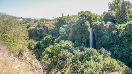
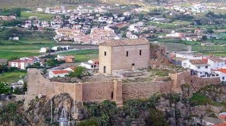
Attractions

Distance to the capital
Distance to the capital (Madrid) is about — 364 km.