
 Biosca
Ampudia
El Bonillo
Hermisende
Hornillos de Cameros
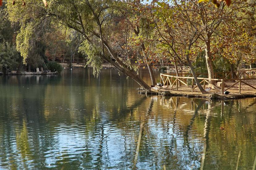
Loja
Ólvega
Pradales
Villacadima
Grado
Altura
Buñuel
Vilamalla
Valverde del Camino
Sant Lluís
Cazalla
Sampol
Bores
Loro
Biosca
Ampudia
El Bonillo
Hermisende
Hornillos de Cameros
Loja
Ólvega
Pradales
Villacadima
Grado
Altura
Buñuel
Vilamalla
Valverde del Camino
Sant Lluís
Cazalla
Sampol
Bores
Loro
Canals on the map, Spain
Where is located Canals
Exact location — Canals, Valencia, Valencian Community, Spain, marked on the map with a red marker.
Coordinates
Canals, Spain coordinates in decimal format: latitude — 38.9622878, longitude — -0.5848192. When converted to degrees, minutes, seconds Canals has the following coordinates: 38°57′44.24 north latitude and -0°35′5.35 east longitude.
Population
Canals, Valencia, Valencian Community, Spain, according to our data the population is — 13,569 residents, which is about 0% of the total population of the country (Spain).
Comparison of the population on the graph:
Exact time
Time zone for this location Canals — UTC +2 Europe/Madrid. Exact time — saturday, 5 may 2024 year, 00 h. 00 minutes.
Sunrise and sunset
Canals, sunrise and sunset data for a date — saturday 4.05.2024.
| Sunrise | Sunset | Day (duration) |
|---|---|---|
| 07:03 -1 minute | 20:54 +1 minute | 13 h. 54 minutes. +2 minutes |
You can control the scale of the map using the auxiliary tools to find out exactly where it is located Canals. When you change the scale of the map, the width of the ruler also changes (in kilometers and miles).
Nearby cities
The largest cities that are located nearby:
- Valencia — 59 km
- Albacete — 110 km
- Murcia — 117 km
- Cartagena — 152 km
- Tarragona — 283 km
- Palma — 284 km
- Alcala de Henares — 288 km
- Almería — 288 km
- Torrejón de Ardoz — 294 km
- Zaragoza — 298 km
- Getafe — 304 km
- Leganés — 308 km
- Fuenlabrada — 309 km
- Jaén — 309 km
- Lleida — 310 km
- Alcobendas — 310 km
- Alcorcón — 313 km
- Móstoles — 315 km
- Granada — 331 km
Distance to neighboring capitals:
- Andorra la Vella
 (Andorra) — 432 km
 - Lisbon
 (Portugal) — 741 km
 - Rabat
 (Morocco) — 788 km
 - Paris
 (France) — 1125 km
 - Paris (France) — 1125 km
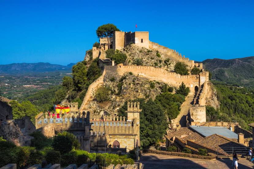
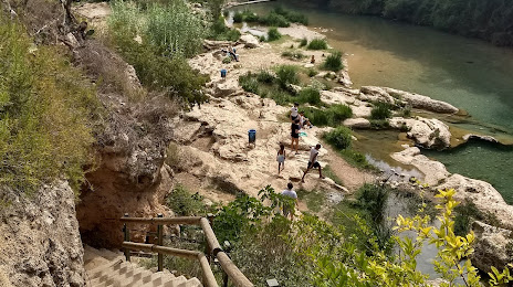
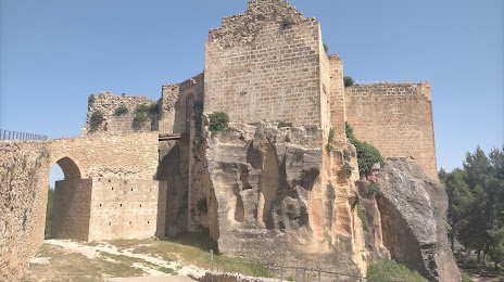
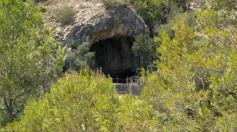
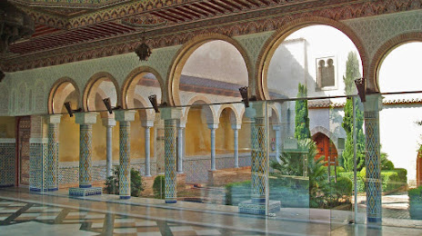
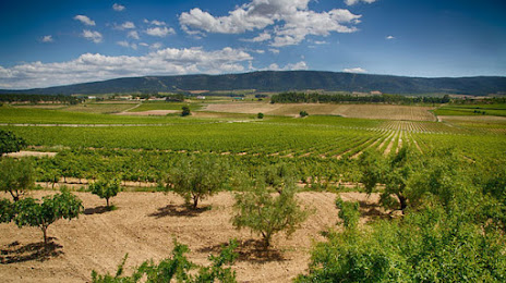
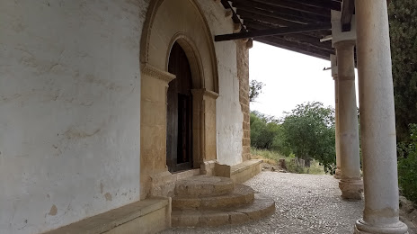
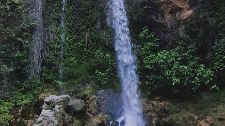
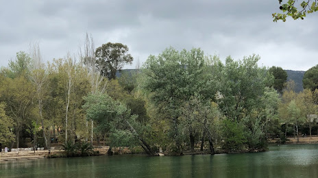
Attractions

Distance to the capital
Distance to the capital (Madrid) is about — 312 km.