
 Campuzano
Moriscos
Mieres del Camino
La Juliana
Píñar
Sierrapando
Morella
Villava
Igualada
Canals
Burgelu
Trapagaran
Hormigos
Sando
Toén
Arce
La Campana
Rus
Gema
Campuzano
Moriscos
Mieres del Camino
La Juliana
Píñar
Sierrapando
Morella
Villava
Igualada
Canals
Burgelu
Trapagaran
Hormigos
Sando
Toén
Arce
La Campana
Rus
Gema
Alfafar on the map, Spain
Where is located Alfafar
Exact location — Alfafar, Valencia, Valencian Community, Spain, marked on the map with a red marker.
Coordinates
Alfafar, Spain coordinates in decimal format: latitude — 39.4169604, longitude — -0.4000294. When converted to degrees, minutes, seconds Alfafar has the following coordinates: 39°25′1.06 north latitude and -0°24′0.11 east longitude.
Population
Alfafar, Valencia, Valencian Community, Spain, according to our data the population is — 19,880 residents, which is about 0% of the total population of the country (Spain).
Comparison of the population on the graph:
Exact time
Time zone for this location Alfafar — UTC +2 Europe/Madrid. Exact time — thursday, 5 may 2024 year, 19 h. 54 minutes.
Sunrise and sunset
Alfafar, sunrise and sunset data for a date — thursday 9.05.2024.
| Sunrise | Sunset | Day (duration) |
|---|---|---|
| 06:56 -1 minute | 20:59 +1 minute | 14 h. 6 minutes. +2 minutes |
You can control the scale of the map using the auxiliary tools to find out exactly where it is located Alfafar. When you change the scale of the map, the width of the ruler also changes (in kilometers and miles).
Nearby cities
The largest cities that are located nearby:
- Valencia — 6 km
- Albacete — 134 km
- Murcia — 170 km
- Cartagena — 205 km
- Tarragona — 233 km
- Zaragoza — 250 km
- Lleida — 257 km
- Palma — 261 km
- Alcala de Henares — 276 km
- Torrejón de Ardoz — 283 km
- Getafe — 298 km
- Alcobendas — 299 km
- L'Hospitalet de Llobregat — 300 km
- Leganés — 301 km
- Fuenlabrada — 303 km
- Alcorcón — 307 km
- Móstoles — 309 km
- Terrassa — 310 km
- Santa Coloma de Gramenet — 312 km
Distance to neighboring capitals:
- Andorra la Vella
 (Andorra) — 380 km
 - Lisbon
 (Portugal) — 758 km
 - Rabat
 (Morocco) — 835 km
 - Paris
 (France) — 1072 km
 - Paris (France) — 1072 km
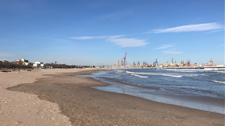
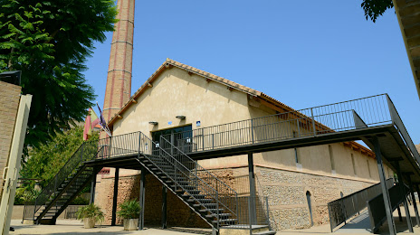
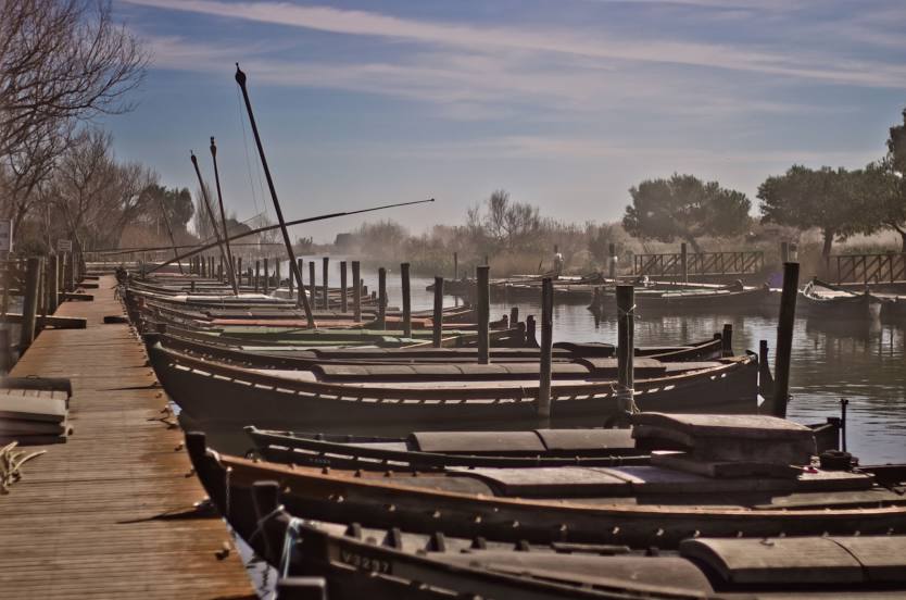
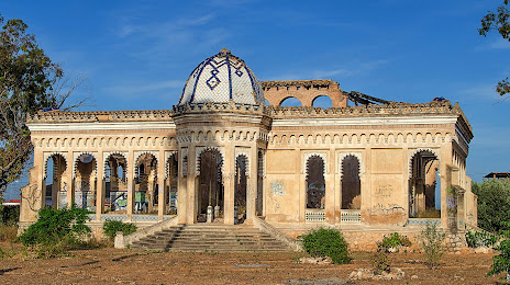
Attractions


Distance to the capital
Distance to the capital (Madrid) is about — 303 km.