
 Albarracín
Miramar
Rota
Marcilla
Morales de Toro
Pedrera
La Vila Joiosa/Villajoyosa
Castriḷḷón
Cumbres Mayores
Villacadima
Pradales
Ólvega
Loja
Hornillos de Cameros
Hermisende
El Bonillo
Ampudia
Biosca
Alfafar
Albarracín
Miramar
Rota
Marcilla
Morales de Toro
Pedrera
La Vila Joiosa/Villajoyosa
Castriḷḷón
Cumbres Mayores
Villacadima
Pradales
Ólvega
Loja
Hornillos de Cameros
Hermisende
El Bonillo
Ampudia
Biosca
Alfafar
Igualada on the map, Spain
Where is located Igualada
Exact location — Igualada, Barcelona, Catalunya, Spain, marked on the map with a red marker.
Coordinates
Igualada, Spain coordinates in decimal format: latitude — 41.5847817, longitude — 1.6226538. When converted to degrees, minutes, seconds Igualada has the following coordinates: 41°35′5.21 north latitude and 1°37′21.55 east longitude.
Population
Igualada, Barcelona, Catalunya, Spain, according to our data the population is — 35,711 residents, which is about 0.1% of the total population of the country (Spain).
Comparison of the population on the graph:
Exact time
Time zone for this location Igualada — UTC +2 Europe/Madrid. Exact time — friday, 5 may 2024 year, 06 h. 16 minutes.
Sunrise and sunset
Igualada, sunrise and sunset data for a date — friday 10.05.2024.
| Sunrise | Sunset | Day (duration) |
|---|---|---|
| 06:42 -1 minute | 20:57 +1 minute | 14 h. 18 minutes. +2 minutes |
You can control the scale of the map using the auxiliary tools to find out exactly where it is located Igualada. When you change the scale of the map, the width of the ruler also changes (in kilometers and miles).
Nearby cities
The largest cities that are located nearby:
- Terrassa — 32 km
- Sabadell — 40 km
- L'Hospitalet de Llobregat — 48 km
- Santa Coloma de Gramenet — 51 km
- Badalona — 54 km
- Tarragona — 60 km
- Mataró — 68 km
- Lleida — 83 km
- Perpignan
 (France) — 160 km
 - Zaragoza — 208 km
- Toulouse (France) — 224 km
- Palma — 239 km
- Montpellier (France) — 288 km
- Valencia — 289 km
- Pamplona — 298 km
- Nimes (France) — 331 km
- Logroño — 346 km
- San Sebastián — 348 km
- Marseille (France) — 356 km
Distance to neighboring capitals:
- Andorra la Vella
 (Andorra) — 103 km
 - Paris (France) — 811 km
- Paris (France) — 811 km
- Lisbon
 (Portugal) — 968 km
 - Rabat
 (Morocco) — 1127 km
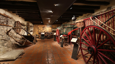
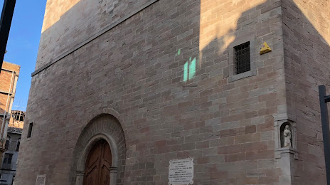
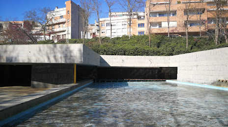
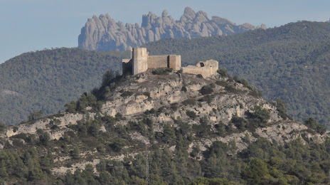
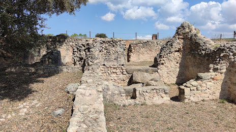
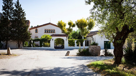
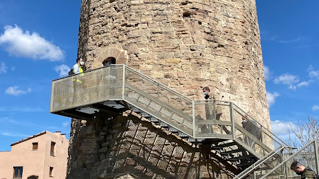
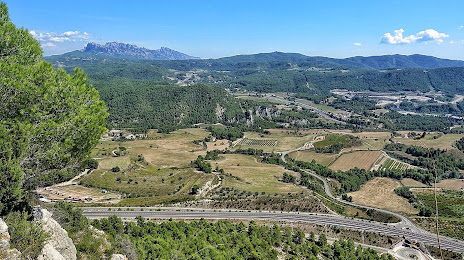
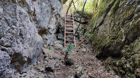
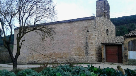
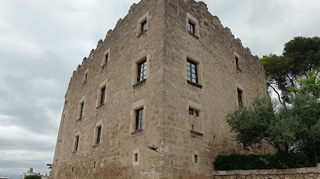
Attractions


Distance to the capital
Distance to the capital (Madrid) is about — 466 km.