
 Santa Ana
Utiel
Alcalá la Real
Lora del Río
Òrrius
San Fernando de Henares
Eljas
Consuegra
Almuñécar
Cazorla
Morón de la Frontera
San Esteban de Gormaz
Igualada
Villava
Morella
Sierrapando
Píñar
La Juliana
Mieres del Camino
Santa Ana
Utiel
Alcalá la Real
Lora del Río
Òrrius
San Fernando de Henares
Eljas
Consuegra
Almuñécar
Cazorla
Morón de la Frontera
San Esteban de Gormaz
Igualada
Villava
Morella
Sierrapando
Píñar
La Juliana
Mieres del Camino
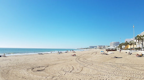
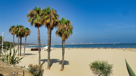
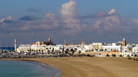
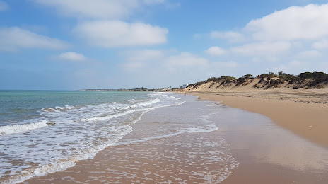
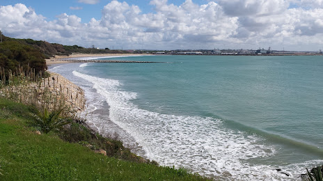
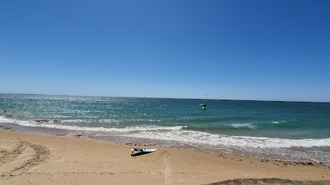
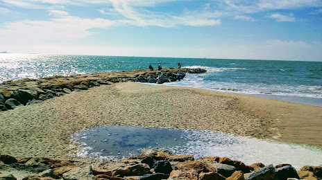
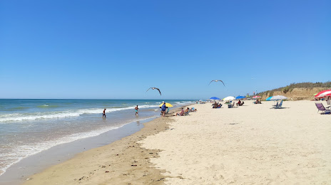
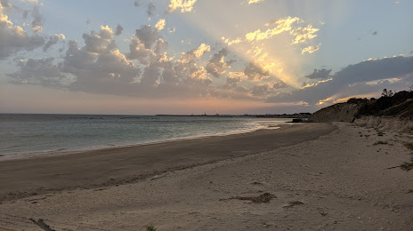
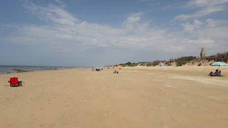
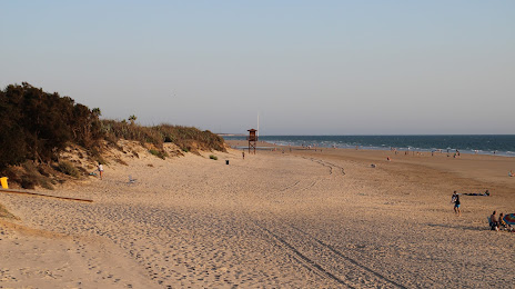
Rota on the map, Spain
Where is located Rota
Exact location — Rota, Cádiz, Andalucía, Spain, marked on the map with a red marker.
Coordinates
Rota, Spain coordinates in decimal format: latitude — 36.6236874, longitude — -6.3601441. When converted to degrees, minutes, seconds Rota has the following coordinates: 36°37′25.27 north latitude and -6°21′36.52 east longitude.
Population
Rota, Cádiz, Andalucía, Spain, according to our data the population is — 25,867 residents, which is about 0.1% of the total population of the country (Spain).
Comparison of the population on the graph:
Exact time
Time zone for this location Rota — UTC +2 Europe/Madrid. Exact time — friday, 5 may 2024 year, 17 h. 06 minutes.
Sunrise and sunset
Rota, sunrise and sunset data for a date — friday 10.05.2024.
| Sunrise | Sunset | Day (duration) |
|---|---|---|
| 07:25 -1 minute | 21:18 +1 minute | 13 h. 54 minutes. +2 minutes |
You can control the scale of the map using the auxiliary tools to find out exactly where it is located Rota. When you change the scale of the map, the width of the ruler also changes (in kilometers and miles).
Nearby cities
The largest cities that are located nearby:
- Cádiz — 12 km
- Jerez — 22 km
- Dos Hermanas — 83 km
- Huelva — 87 km
- Algeciras — 97 km
- Tangier
 (Morocco) — 107 km
 - Marbella — 132 km
- Tetouan (Morocco) — 147 km
- Málaga — 167 km
- Córdoba — 196 km
- Granada — 251 km
- Badajoz — 255 km
- Jaén — 259 km
- Kenitra (Morocco) — 263 km
- Taounate (Morocco) — 279 km
- Sale (Morocco) — 289 km
- Temara (Morocco) — 302 km
- Meknes (Morocco) — 311 km
- Khemisset (Morocco) — 312 km
Distance to neighboring capitals:
- Rabat (Morocco) — 298 km
- Lisbon
 (Portugal) — 338 km
 - Andorra la Vella
 (Andorra) — 940 km
 - Paris
 (France) — 1533 km
 - Paris (France) — 1533 km
Attractions


Distance to the capital
Distance to the capital (Madrid) is about — 481 km.