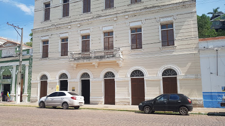
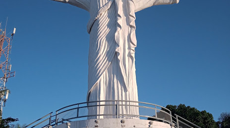
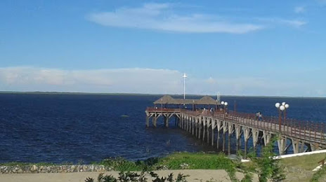
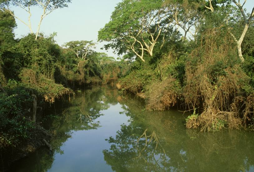
Miguel Calmon — Jaraguá
Miguel Calmon — Ponta Porã
Miguel Calmon — Novo Porto
Miguel Calmon — Votorantim
Miguel Calmon — Osório
Miguel Calmon — Ibirajuba
Miguel Calmon — Cristal
Miguel Calmon — Jataìzinho
Miguel Calmon — Rio de Janeiro
Miguel Calmon — Clevelândia
Miguel Calmon — Carmo
Miguel Calmon — Cunha Porã
Miguel Calmon — Alto Paraná
Miguel Calmon — Conceição
Miguel Calmon — Coronel Freitas
Miguel Calmon — Suzano
Miguel Calmon — São Pedro do Piauí
Miguel Calmon — Mucuri
Miguel Calmon — Presidente Figueiredo
Wagner
Palmeiras
Seabra
Ibotirama
Santa Maria da Vitória
Correntina
Posse
Vila Boa
Formosa
Planaltina
Brasilia
35
Taguatinga
Alexânia
Abadiânia
Anápolis
Anápolis
Goianápolis
Goiânia Airport
Goiânia
Guapó
Rio Verde
Jataí
Campo Grande
Campo Grande International Airport
Caioba Portal
Terenos
Anastácio
Miranda
Paratudal
Ladário
Miguel Calmon — Corumbá distance, route on the map
Distance by car
Distance between Miguel Calmon, Bahia, Brazil and Corumbá, Mato Grosso do Sul, Brazil by car is — km, or miles. To travel this distance by car, you need minute, or h.
Route on the map, driving directions
Car route Miguel Calmon — Corumbá was created automatically. The road on the map is shown as a blue line. By moving the markers, you can create a new route through the points you need.
Passing cities through which the car route passes: Piritiba, Wagner, Palmeiras, Seabra, Ibotirama, Santa Maria da Vitória, Correntina, Posse, Vila Boa, Formosa, Planaltina, Brasilia, 35, Taguatinga, Alexânia, Abadiânia, Anápolis, Anápolis, Goianápolis, Goiânia Airport, Goiânia, Guapó, Rio Verde, Jataí, Campo Grande, Campo Grande International Airport, Caioba Portal, Terenos, Anastácio, Miranda, Paratudal, Ladário.
Distance by plane
If you decide to take a trip Miguel Calmon Corumbá by plane, then you have to fly the distance — 2013 km or 1248 miles. It is marked on the map with a gray line (between two points in a straight line).
Flight time
Estimated flight time Miguel Calmon Corumbá by plane at cruising speed 750 km / h will be — 2 h. and 41 min.
Direction of movement
Brazil, Miguel Calmon — right-hand traffic. Brazil, Corumbá — right-hand traffic.
Difference in time
Miguel Calmon and Corumbá are in different time zones. The time difference is 1 hour (UTC -3 America/Fortaleza, UTC -4 America/Campo_Grande).
Interesting Facts
Information on alternative ways to get to your destination.
The length of this distance is about 5.0% of the total length of the equator.
The percentage of the population is clearly shown in the graph:
Miguel Calmon — 13,748 (less by 82,775), Corumbá — 96,523 residents.
The cost of travel
Calculate the cost of the trip yourself using the fuel consumption calculator, changing the data in the table.