Diamantino — Montes Claros
Diamantino — Quartel Geral
Diamantino — Igaratá
Diamantino — Barra do Bugres
Diamantino — Frutal
Diamantino — Igrejinha
Diamantino — Paula Cândido
Diamantino — Avaí
Diamantino — Matias Barbosa
Diamantino — Floriano
Diamantino — Guanta
Diamantino — Pires Ferreira
Diamantino — Araguaiana
Diamantino — Acajutiba
Diamantino — Urubici
Diamantino — Rodelas
Diamantino — Itu
Diamantino — Águas Frias
Diamantino — Senador Pompeu
Rosário Oeste
Cuiaba
Jaciara
Rondonópolis
Alto Araguaia
Santa Rita do Araguaia
Mineiros
Jataí
Rio Verde
Guapó
Goiânia
Goiânia Airport
Senador Canedo
Luziânia
Cristalina
Paracatu
João Pinheiro
Três Marias
Paraopeba
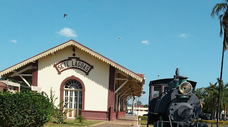
Diamantino — Sete Lagoas distance, route on the map
Distance by car
Distance between Diamantino, Mato Grosso, Brazil and Sete Lagoas, Minas Gerais, Brazil by car is — km, or miles. To travel this distance by car, you need minute, or h.
Route on the map, driving directions
Car route Diamantino — Sete Lagoas was created automatically. The road on the map is shown as a blue line. By moving the markers, you can create a new route through the points you need.
Passing cities through which the car route passes: Nobres, Rosário Oeste, Cuiaba, Jaciara, Rondonópolis, Alto Araguaia, Santa Rita do Araguaia, Mineiros, Jataí, Rio Verde, Guapó, Goiânia, Goiânia Airport, Senador Canedo, Luziânia, Cristalina, Paracatu, João Pinheiro, Três Marias, Paraopeba.
Distance by plane
If you decide to take a trip Diamantino Sete Lagoas by plane, then you have to fly the distance — 1413 km or 876 miles. It is marked on the map with a gray line (between two points in a straight line).
Flight time
Estimated flight time Diamantino Sete Lagoas by plane at cruising speed 750 km / h will be — 1 h. and 53 min.
Direction of movement
Brazil, Diamantino — right-hand traffic. Brazil, Sete Lagoas — right-hand traffic.
Difference in time
Diamantino and Sete Lagoas are in different time zones. The time difference is 1 hour (UTC -4 America/Campo_Grande, UTC -3 America/Sao_Paulo).
Interesting Facts
Information on alternative ways to get to your destination.
The length of this distance is about 3.5% of the total length of the equator.
The percentage of the population is clearly shown in the graph:
Diamantino — 15,700 (less by 185,634), Sete Lagoas — 201,334 residents.
The cost of travel
Calculate the cost of the trip yourself using the fuel consumption calculator, changing the data in the table.