Los Mochis — Vista Hermosa
Los Mochis — Creel
Los Mochis — Villaldama
Los Mochis — Morelia
Los Mochis — Tlalchapa
Los Mochis — El Quemado
Los Mochis — Totatiche
Los Mochis — Tepeaca
Los Mochis — Novillero
Los Mochis — Tepatlaxco
Los Mochis — Santo Domingo Petapa
Los Mochis — Tamuín
Los Mochis — La Ciudad
Los Mochis — Santa Rosa Jáuregui
Los Mochis — Beams of Ramirez
Los Mochis — Chilapa de Álvarez
Los Mochis — Apaseo el Alto
Los Mochis — Monterrey
Los Mochis — San Pablo Etla
Adolfo Ruiz Cortines
Batamote
Cinco de Mayo
Guasave
Angostura
Colonia Independencia
Costa Rica
Isabelita
Loma
Ceuta
San Ignacio
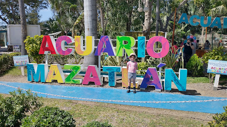
Los Mochis — Mazatlán distance, route on the map
Distance by car
Distance between Los Mochis, Sinaloa, Mexico and Mazatlán, Sinaloa, Mexico by car is — km, or miles. To travel this distance by car, you need minute, or h.
Route on the map, driving directions
Car route Los Mochis — Mazatlán was created automatically. The road on the map is shown as a blue line. By moving the markers, you can create a new route through the points you need.
Passing cities through which the car route passes: Juan José Ríos, Adolfo Ruiz Cortines, Batamote, Cinco de Mayo, Guasave, Angostura, Colonia Independencia, Costa Rica, Isabelita, Loma, Ceuta, San Ignacio.
Distance by plane
If you decide to take a trip Los Mochis Mazatlán by plane, then you have to fly the distance — 384 km or 238 miles. It is marked on the map with a gray line (between two points in a straight line).
Flight time
Estimated flight time Los Mochis Mazatlán by plane at cruising speed 750 km / h will be — 30 min.
Direction of movement
Mexico, Los Mochis — right-hand traffic. Mexico, Mazatlán — right-hand traffic.
Difference in time
Los Mochis and Mazatlán are in the same time zone. Between them there is no time difference (UTC -7 America/Mazatlan).
Interesting Facts
Information on alternative ways to get to your destination.
The length of this distance is about 1.0% of the total length of the equator.
The percentage of the population is clearly shown in the graph:
Los Mochis — 214,610 (less by 140,120), Mazatlán — 354,730 residents.
The cost of travel
Calculate the cost of the trip yourself using the fuel consumption calculator, changing the data in the table.