 Pointe-à-la-Croix
Sainte-Irène, Quebec
Marsoui
Hecla
Muskrat Dam
Wunnummin Lake
Sainte-Brigitte-de-Laval
Drayton
Mauricie
Pointe-à-la-Croix
Sainte-Irène, Quebec
Marsoui
Hecla
Muskrat Dam
Wunnummin Lake
Sainte-Brigitte-de-Laval
Drayton
Mauricie
Jacques-Cartier Park on the map, Ottawa, Canada
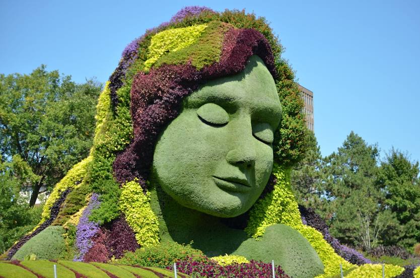
Photo
Where is located Jacques-Cartier Park
Jacques-Cartier Park — local attraction, which is located at 285 Laurier St, Gatineau, Quebec J8X 3W9, Canada and belongs to the category — park. Average visitor rating for this place — 4.4 (according to 4290 ratings, information from open sources and relevant for 2022).
Exact location — Jacques-Cartier Park, marked on the map with a red marker.
You can get directions to Jacques-Cartier Park on the map from your location.
What else is interesting in Ottawa? You can see all the sights if you go to the city page.
Coordinates
Jacques-Cartier Park, Canada coordinates in decimal format: latitude — 45.43468690285701, longitude — -75.7082240019186. When converted to degrees, minutes, seconds Jacques-Cartier Park has the following coordinates: 45°26′4.87 north latitude and -75°42′29.61 east longitude.
Nearby cities
The largest cities that are located nearby:
- Gatineau — 6 km
- Kingston — 146 km
- Laval — 155 km
- Montreal — 165 km
- Longueuil — 170 km
- Trois-Rivières — 261 km
- Syracuse
 (United States) — 265 km
 - Rochester (United States) — 294 km
- Sherbrooke — 296 km
- Oshawa — 304 km
- Whitby — 309 km
- Barrie — 336 km
- Markham — 338 km
- Richmond Hill — 343 km
- Vaughan — 351 km
- Toronto — 354 km
- Levis — 367 km
- Amherst (United States) — 368 km
- Quebec — 370 km