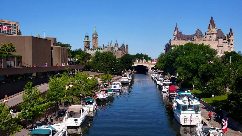
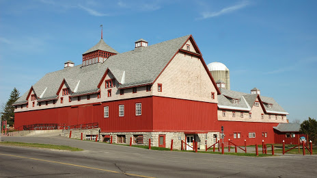
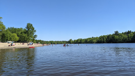
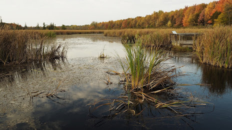
Guelph
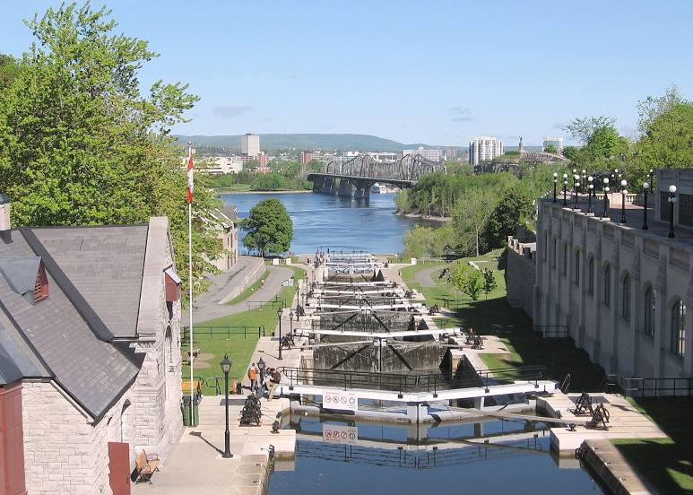
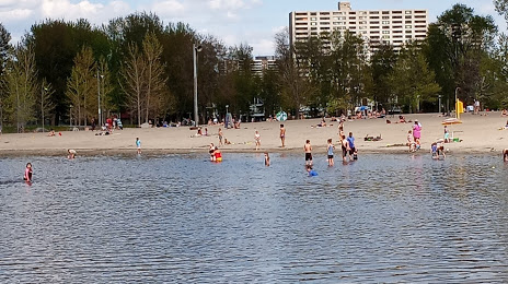
Nepean
Wolfville
Calgary
Varennes
Fredericton
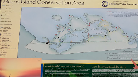
Athabasca
Dorval
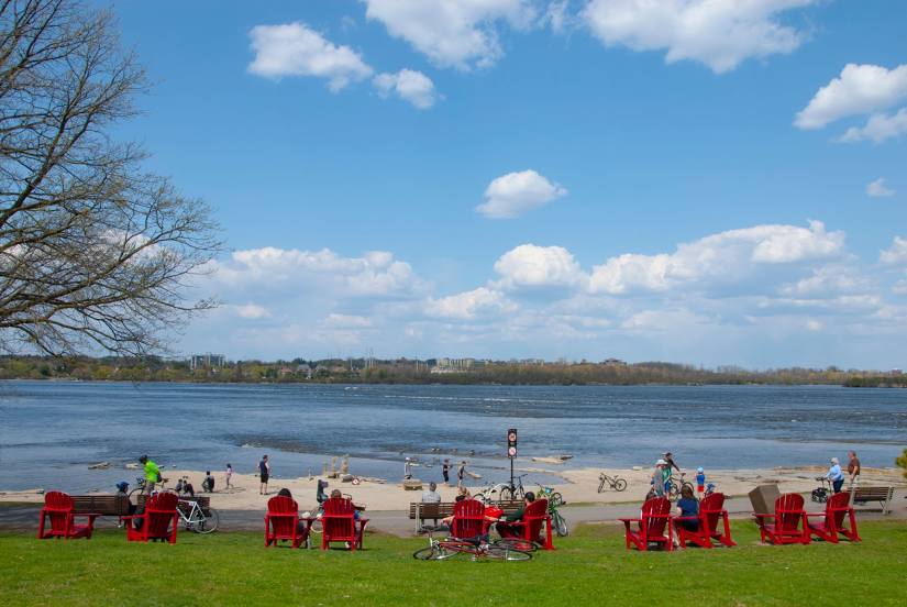
Montreal
Guelph
Nepean
Wolfville
Calgary
Varennes
Fredericton
Athabasca
Dorval
Montreal
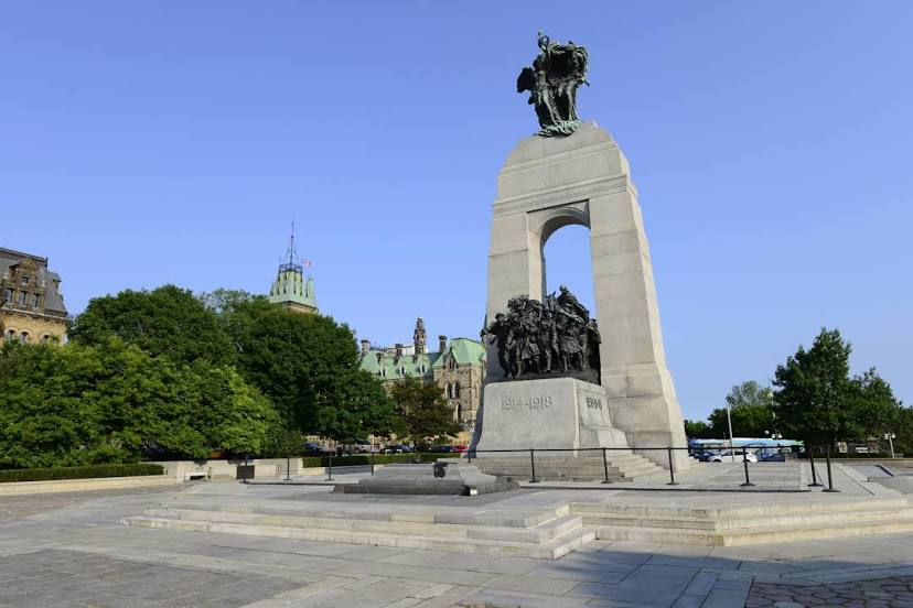
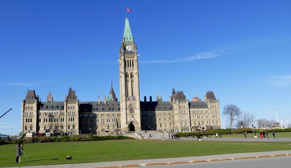
Ottawa on the map, Canada
Where is located Ottawa
Exact location — Ottawa, Ottawa Division, Ontario, Canada, marked on the map with a red marker.
Coordinates
Ottawa, Canada coordinates in decimal format: latitude — 45.4215296, longitude — -75.6971931. When converted to degrees, minutes, seconds Ottawa has the following coordinates: 45°25′17.51 north latitude and -75°41′49.9 east longitude.
Population
Ottawa, Ottawa Division, Ontario, Canada, according to our data the population is — 874,433 residents, which is about 2.3% of the total population of the country (Canada).
Comparison of the population on the graph:
Exact time
Time zone for this location Ottawa — UTC -4 America/Toronto. Exact time — friday, 5 may 2024 year, 08 h. 46 minutes.
Sunrise and sunset
Ottawa, sunrise and sunset data for a date — friday 17.05.2024.
| Sunrise | Sunset | Day (duration) |
|---|---|---|
| 05:33 -1 minute | 20:25 +1 minute | 14 h. 54 minutes. +2 minutes |
You can control the scale of the map using the auxiliary tools to find out exactly where it is located Ottawa. When you change the scale of the map, the width of the ruler also changes (in kilometers and miles).
Nearby cities
The largest cities that are located nearby:
- Gatineau — 6 km
- Kingston — 146 km
- Laval — 155 km
- Montreal — 165 km
- Longueuil — 170 km
- Trois-Rivières — 261 km
- Syracuse
 (United States) — 265 km
 - Rochester (United States) — 294 km
- Sherbrooke — 296 km
- Oshawa — 304 km
- Whitby — 309 km
- Barrie — 336 km
- Markham — 338 km
- Richmond Hill — 343 km
- Vaughan — 351 km
- Toronto — 354 km
- Levis — 367 km
- Amherst (United States) — 368 km
- Quebec — 370 km
Distance to neighboring capitals:
- Washington (United States) — 733 km
- Nuuk
 (Greenland) — 2557 km
 - Saint John
 (Puerto Rico) — 3126 km
 - Mexico City
 (Mexico) — 3604 km
 - Belgrade
 (Serbia) — 7047 km
 - Podgorica
 (Montenegro) — 7136 km
 - Hagåtña
 (Guam) — 12313 km