 Pointe-à-la-Croix
Sainte-Irène, Quebec
Marsoui
Hecla
Muskrat Dam
Wunnummin Lake
Sainte-Brigitte-de-Laval
Drayton
Mauricie
Pointe-à-la-Croix
Sainte-Irène, Quebec
Marsoui
Hecla
Muskrat Dam
Wunnummin Lake
Sainte-Brigitte-de-Laval
Drayton
Mauricie
Andrew Haydon Park on the map, Ottawa, Canada
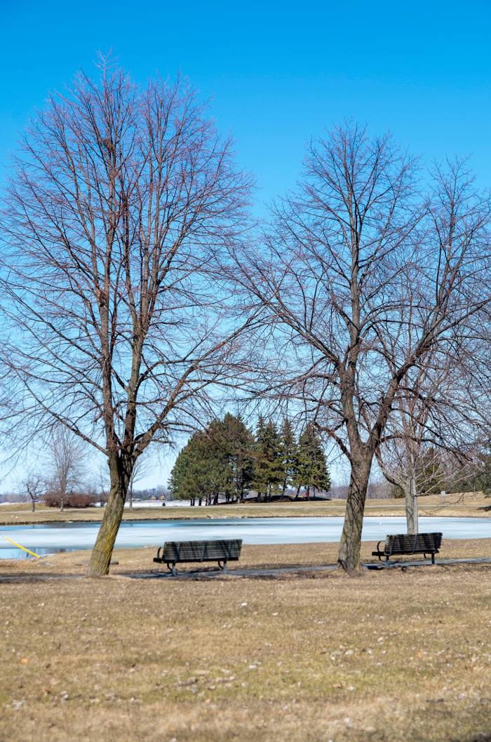
Photo
Where is located Andrew Haydon Park
Andrew Haydon Park — local attraction, which is located at 3127 Carling Ave, Nepean, ON K2H 5A6, Canada and belongs to the category — park. Average visitor rating for this place — 4.6 (according to 2199 ratings, information from open sources and relevant for 2022).
Exact location — Andrew Haydon Park, marked on the map with a red marker.
You can get directions to Andrew Haydon Park on the map from your location.
What else is interesting in Ottawa? You can see all the sights if you go to the city page.
Coordinates
Andrew Haydon Park, Canada coordinates in decimal format: latitude — 45.350903515337116, longitude — -75.81627150192143. When converted to degrees, minutes, seconds Andrew Haydon Park has the following coordinates: 45°21′3.25 north latitude and -75°48′58.58 east longitude.
Nearby cities
The largest cities that are located nearby:
- Gatineau — 6 km
- Kingston — 146 km
- Laval — 155 km
- Montreal — 165 km
- Longueuil — 170 km
- Trois-Rivières — 261 km
- Syracuse
 (United States) — 265 km
 - Rochester (United States) — 294 km
- Sherbrooke — 296 km
- Oshawa — 304 km
- Whitby — 309 km
- Barrie — 336 km
- Markham — 338 km
- Richmond Hill — 343 km
- Vaughan — 351 km
- Toronto — 354 km
- Levis — 367 km
- Amherst (United States) — 368 km
- Quebec — 370 km