 Chalk River
Charlottetown
Burnaby
Dieppe
Bedford
Dartmouth
Sydney
Windsor
Lachine
Edmonton
Parksville
Toronto
Victoria
Ottawa
Chalk River
Charlottetown
Burnaby
Dieppe
Bedford
Dartmouth
Sydney
Windsor
Lachine
Edmonton
Parksville
Toronto
Victoria
Ottawa
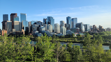
Calgary on the map, Canada
Where is located Calgary
Exact location — Calgary, Division No. 6, Alberta, Canada, marked on the map with a red marker.
Coordinates
Calgary, Canada coordinates in decimal format: latitude — 51.0486151, longitude — -114.0708459. When converted to degrees, minutes, seconds Calgary has the following coordinates: 51°2′55.01 north latitude and -114°4′15.05 east longitude.
Population
Calgary, Division No. 6, Alberta, Canada, according to our data the population is — 968,475 residents, which is about 2.6% of the total population of the country (Canada).
Comparison of the population on the graph:
Exact time
Time zone for this location Calgary — UTC -6 America/Edmonton. Exact time — sunday, 5 may 2024 year, 17 h. 43 minutes.
Sunrise and sunset
Calgary, sunrise and sunset data for a date — sunday 12.05.2024.
| Sunrise | Sunset | Day (duration) |
|---|---|---|
| 05:53 -1 minute | 21:11 +1 minute | 15 h. 18 minutes. +2 minutes |
You can control the scale of the map using the auxiliary tools to find out exactly where it is located Calgary. When you change the scale of the map, the width of the ruler also changes (in kilometers and miles).
Nearby cities
The largest cities that are located nearby:
- Edmonton — 279 km
- Kelowna — 407 km
- Spokane
 (United States) — 450 km
 - Saskatoon — 516 km
- Abbotsford — 638 km
- Coquitlam — 659 km
- Anmore — 662 km
- Surrey — 667 km
- Regina — 669 km
- Burnaby — 671 km
- Vancouver — 681 km
- Delta — 683 km
- Richmond — 687 km
- Bellevue (United States) — 715 km
- Seattle (United States) — 724 km
- Victoria — 741 km
- Tacoma (United States) — 756 km
- Boise (United States) — 839 km
- Portland (United States) — 904 km
Distance to neighboring capitals:
- Washington (United States) — 3168 km
- Mexico City
 (Mexico) — 3753 km
 - Nuuk
 (Greenland) — 3803 km
 - Saint John
 (Puerto Rico) — 5538 km
 - Belgrade
 (Serbia) — 8499 km
 - Podgorica
 (Montenegro) — 8685 km
 - Hagåtña
 (Guam) — 9611 km
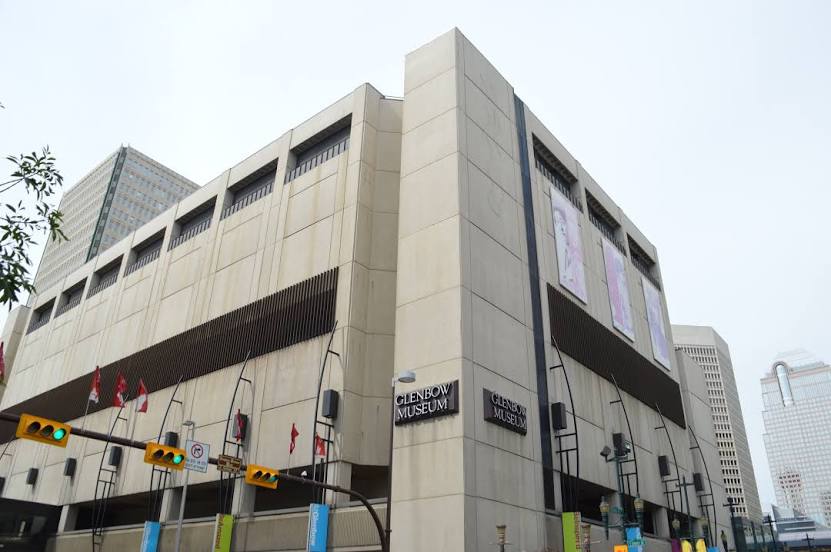
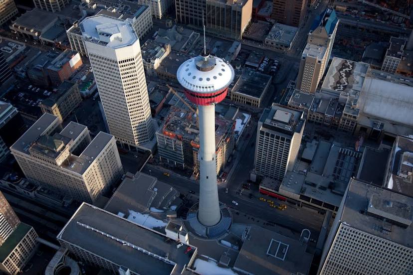
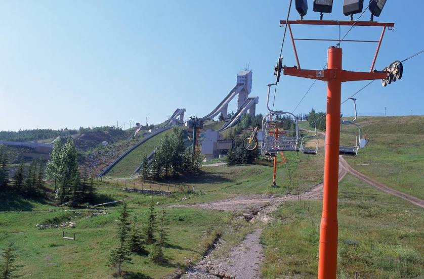
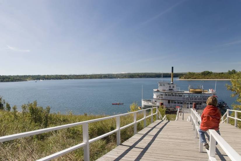
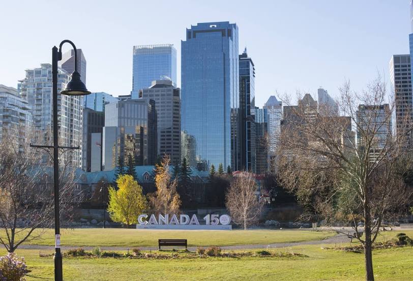
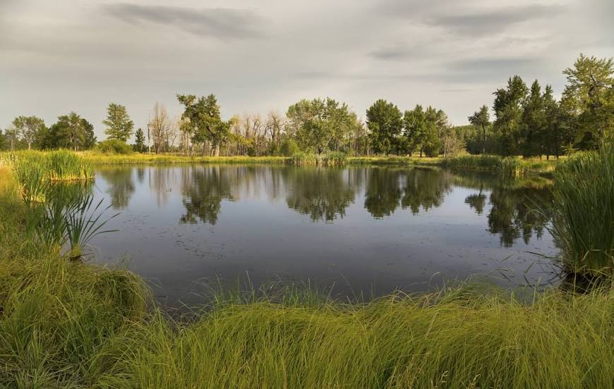
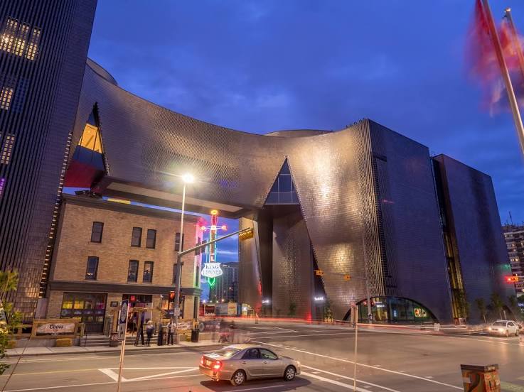
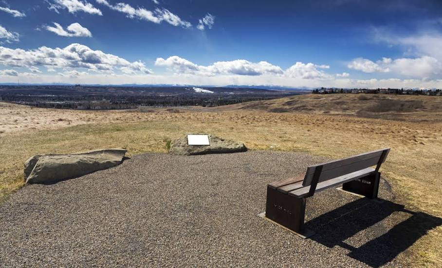
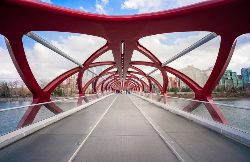
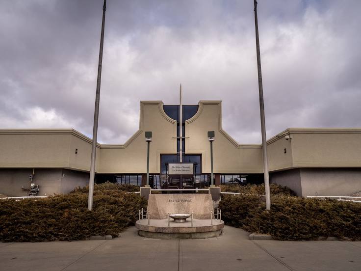
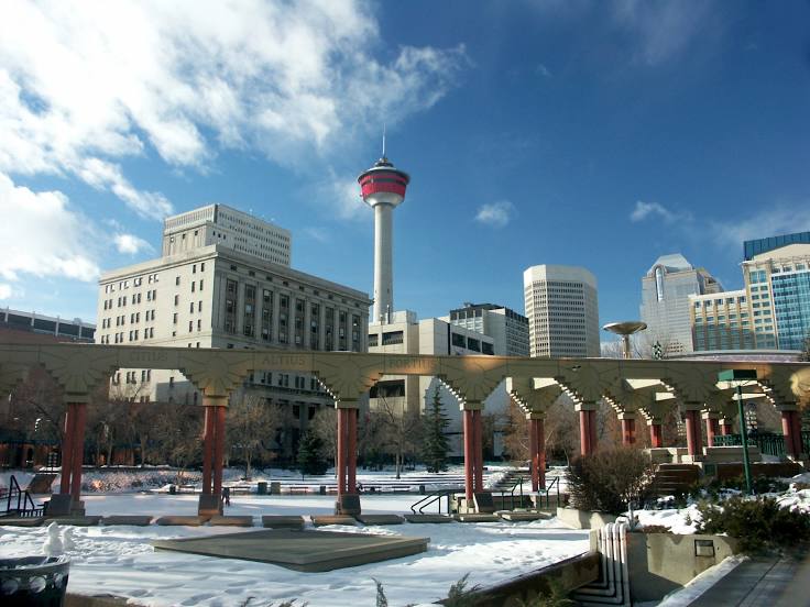
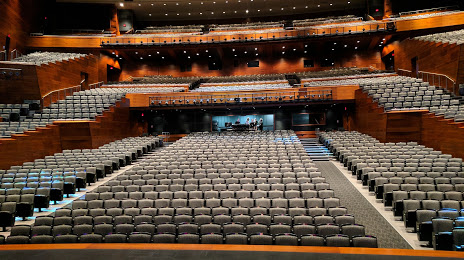
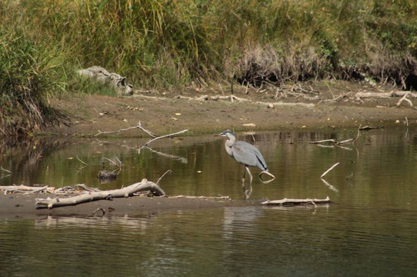
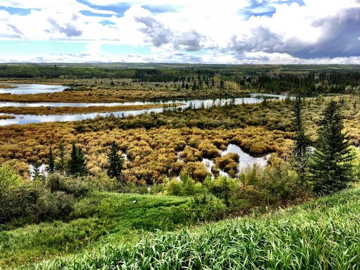
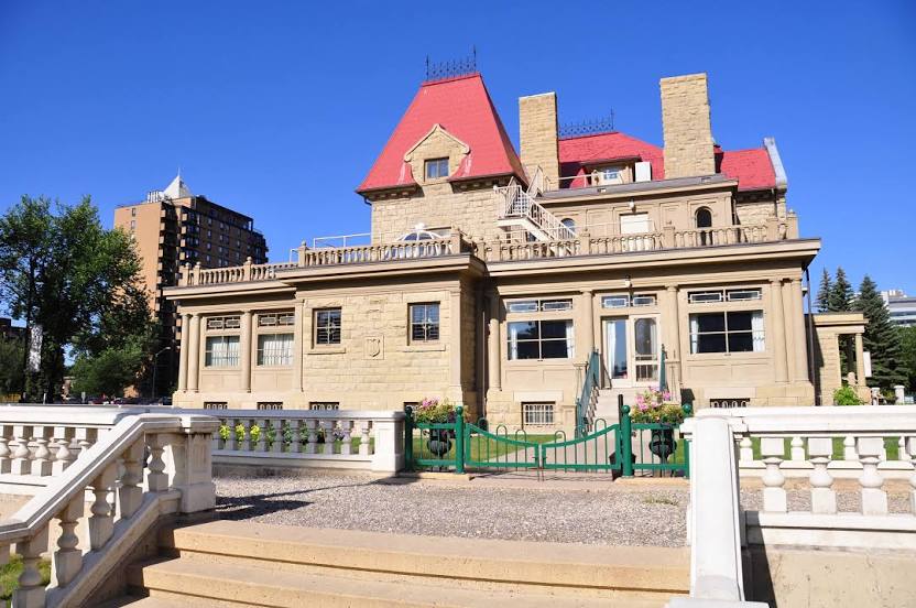
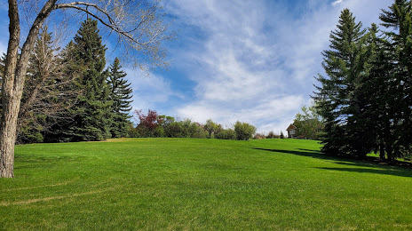
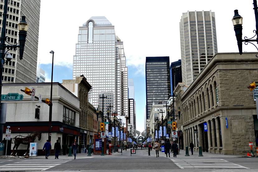
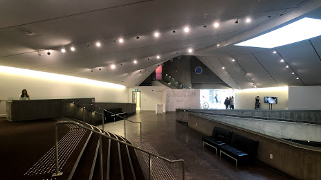
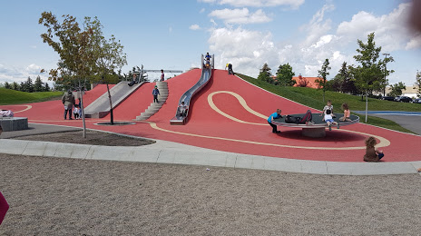
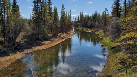
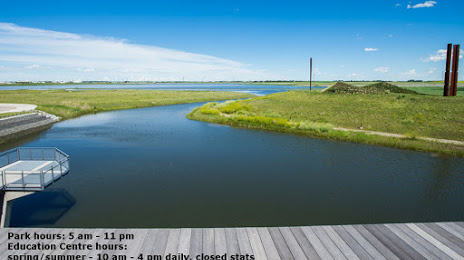
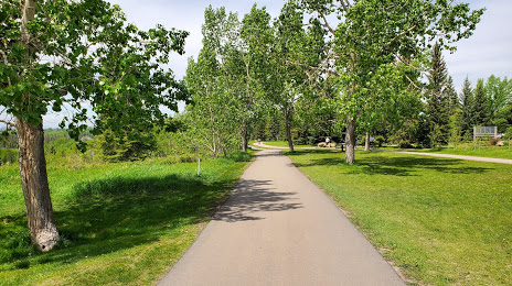
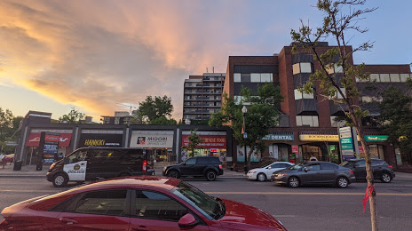
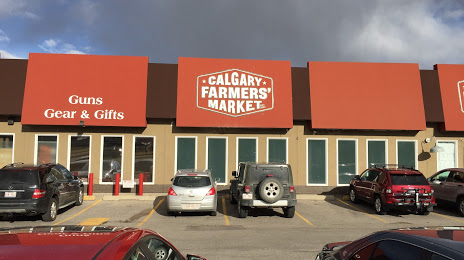
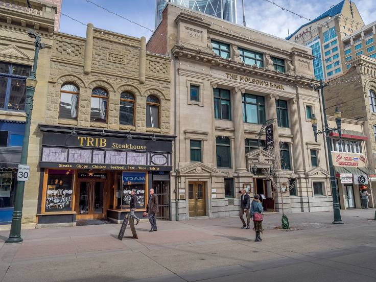
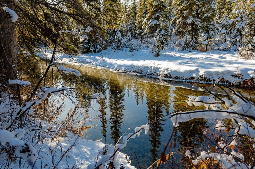
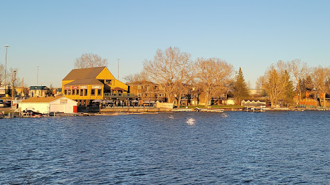
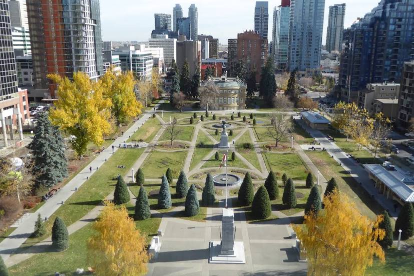
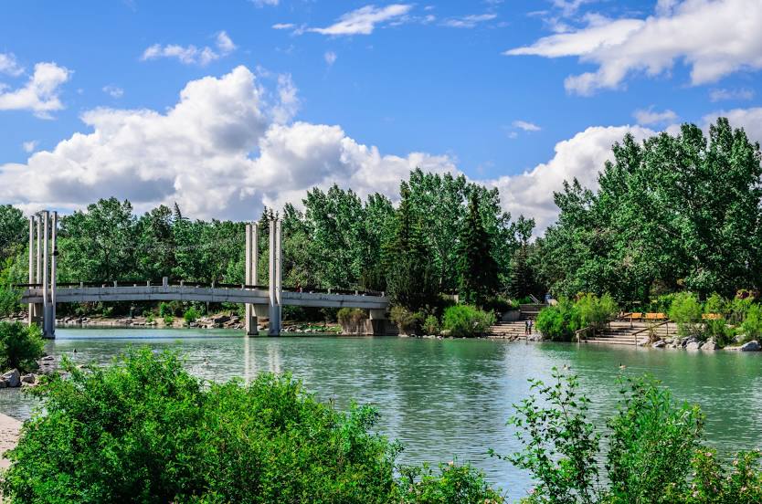
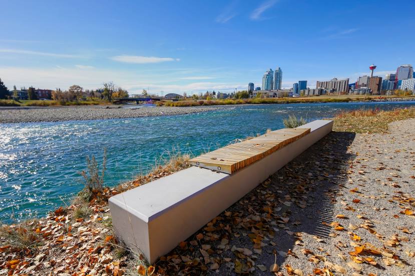
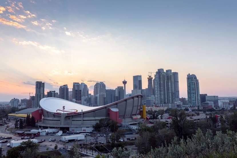
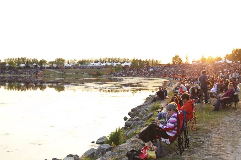
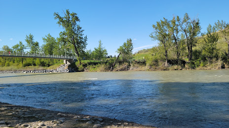
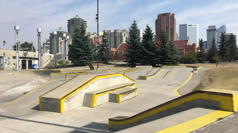
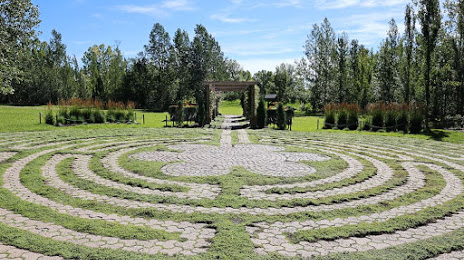
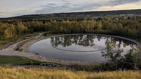
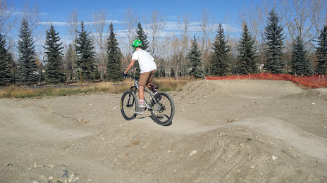
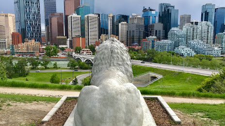
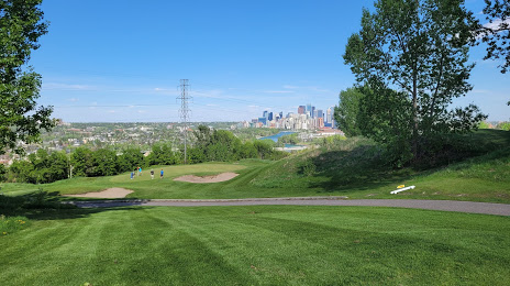
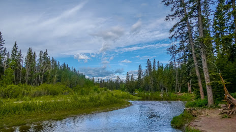
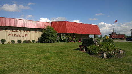
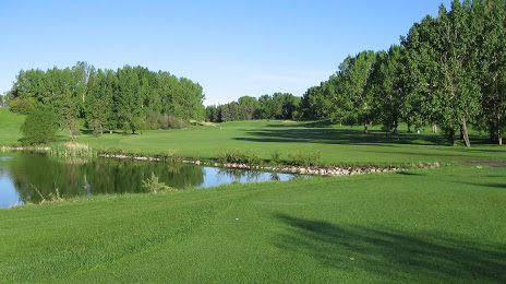
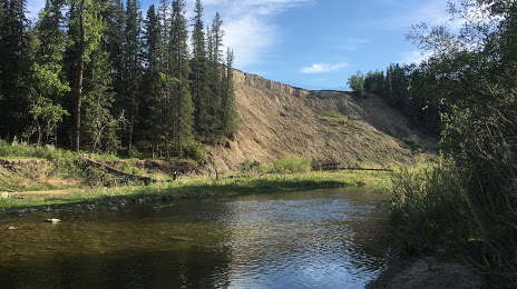
Attractions


Distance to the capital
Distance to the capital (Ottawa) is about — 2876 km.